WARNING: THIS SET HAS BEEN COPIED FROM MY PHOTOGRAPHY PAGE AND MAY NOT WORK ENTIRELY YET.
DAY ZERO:


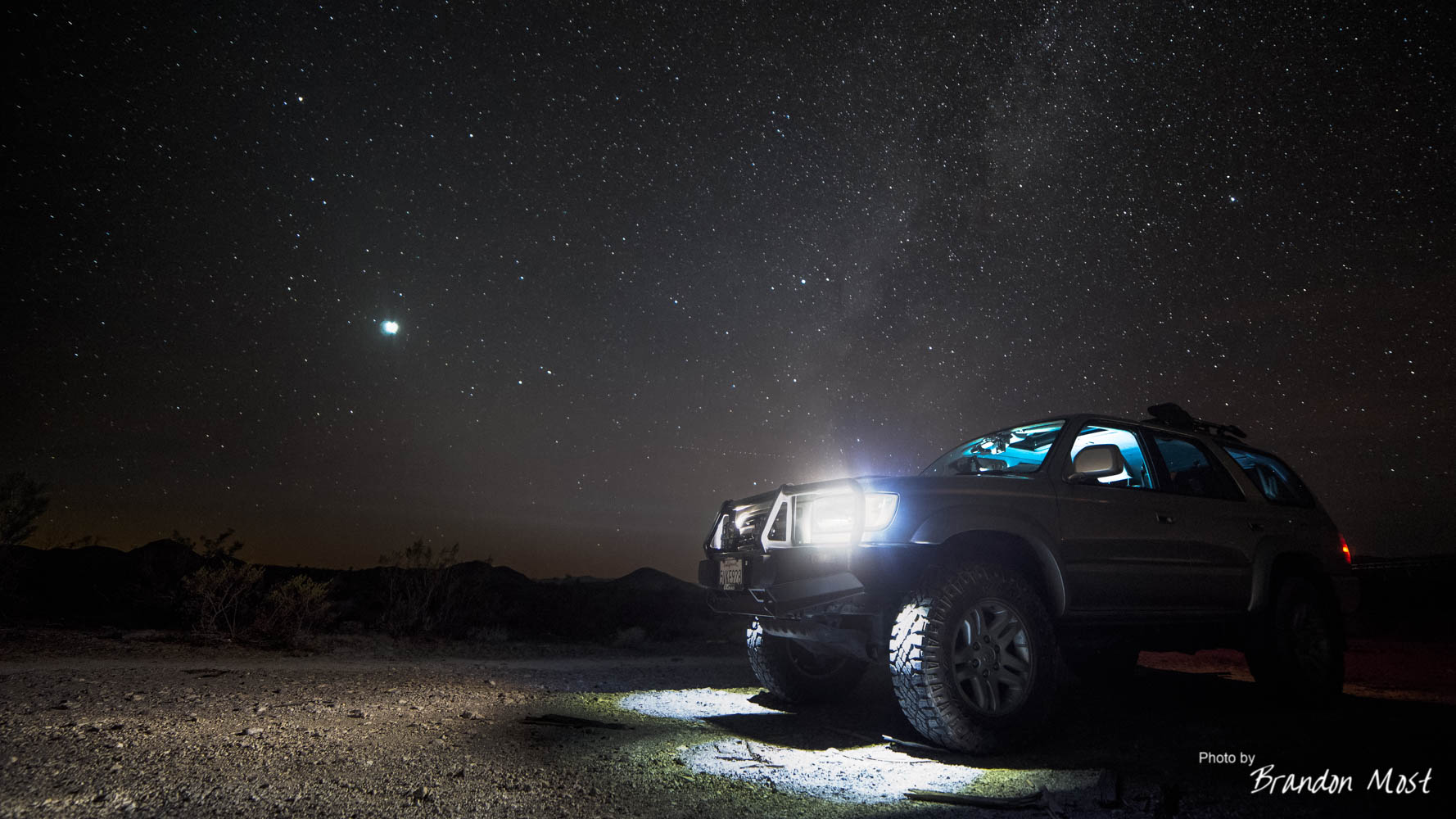
Day zero is really several days leading up to the start of the trip that involved buying new gear (like the DeLorme In Reach Explorer above), doing some repairs, and building some new convenience items. 
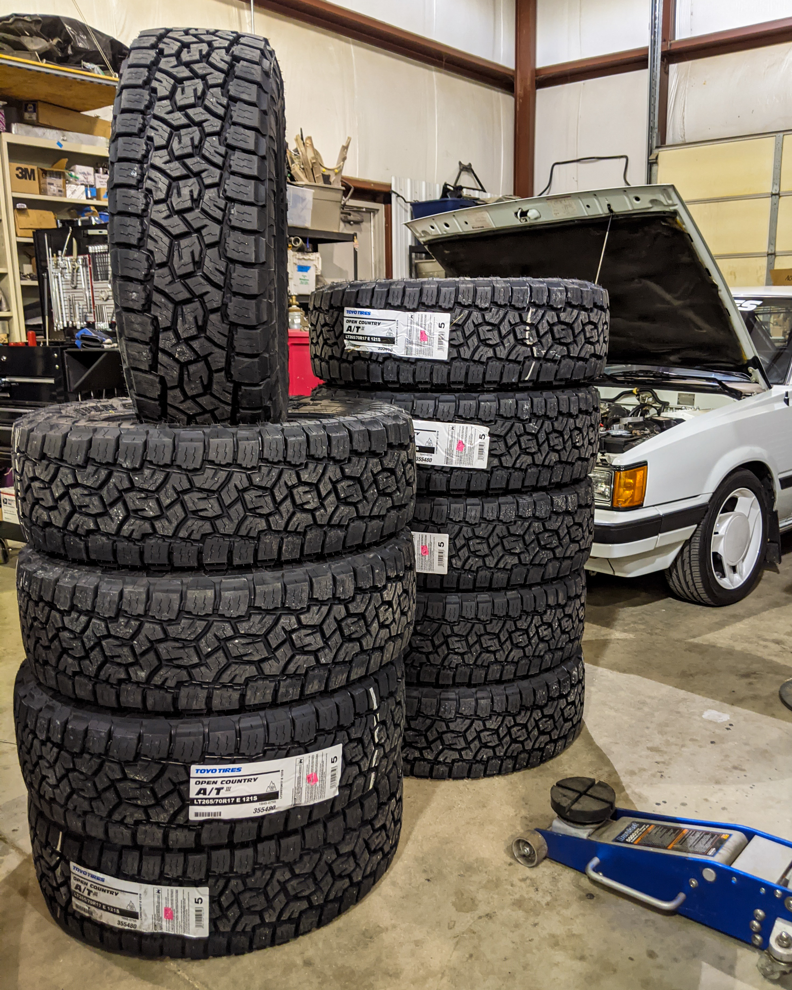
While last years Goodyear Duratracs were still in good shape, we decided to pick up a spare set of wheels, and a fresh set of tires to make sure we had maximum traction anywhere we found ourselves. 
For $140 and about a 10 min install, I couldn’t say no to regaining proper wiper control. It’s been quite a while since the intermittent setting worked properly or the wipers returned to the park position on their own.

I spent a little bit of time doing some wood working to help build some more organization into the back of the truck.

Since the last trip we had changed the fridge and needed to upgrade the tie down system. While I was at it I wanted make a better method to tie down the water and chains as well. They both use “constant loop” ratchet straps (not pictured) that go through the false floor, and turned out to be a very easy solution.  While I was at it I couldn’t resit adding a quick little “sandwich shelf”. Unfortunately the last minute decision to make this meant I didn’t have time to paint it and protect it before we left.
 We ended “Day Zero” by getting a start on the drive and heading out to Fresno for the night. While 150 miles isn’t a huge head start, it was enough to get us out of the Bay Area Traffic and make sure more of the Day One Scenery would be in the light of day.
SPEAKING OF DAY ONE…

4Runner clean and ready to start the trip.

We left Fresno and headed for Death Valley.

Typical road trip scenery.

As we approached lunch time we spotted this quaint little home stead.

Their circle driveway made a great place to stop for a bite and grab some photos.

Unfortunately the inside wasn’t quite tidy enough to do for a proper lunch stop!

The good news, is that the Sandwich Shelf worked as advertised!

We did eventually make it into Death Valley and stopped for a a few photos.

Honestly our time in Death Valley was more of a tease than anything.

We used the area as more of a cut through than a destination, but it was enough to make it on the list of “places to go back to when we have more time”.

Of course now we have new friends in the area to visit as well.

We made a chilly dinner stop under the stars somewhere in Nevada and once again proved the value of the Sandwich shelf.

And our final destination of the day was the Valley Of Fire state park just north of Las Vegas in Nevada. You’ll have to wait for the Day Two photos for more from the park though. It was obviously dark when we pulled in and set up “camp”.
A few more images from Day 1:


Day 2 started by waking up just before sunrise in an alien landscape.

We had set up our “camp” in the dark the previous evening and really had no idea just how the campsite in the Valley Of Fire State park really looked. 
Quite an amazing site once I got myself awake enough to let me eyes open and focus all the way.

Of course there was no time to waste. The sun would be up shortly and if we wanted those sunrise photos we would have to hurry.

Mission accomplished camp was down and we were back in place at the arch we had snapped the night before just as the sun came up.

We spent the rest of the morning and a bit into the afternoon exploring the Valley of Fire.

Plenty of sandstone formations to check out and photograph.

The other thing in abundance in this area is the Native American Petroglyphs:


My best advice for this area is plan some time, and be prepared to do a bit of walking/mild hiking in sand.

Most of the best views were only after spending a bit of time getting away from the pavement, and most of the paths are too narrow for vehicle travel even if it was allowed.
More from the Valley Of Fire:


After leaving the Valley of Fire we headed off to grab some lunch and ended up stopping by a Cracker Barrel in St George Utah.

If you spend a morning on vacation in the desert and don’t think of Aunt Edna when you see a row of rocking chairs, there is something wrong with you. Unfortunately this was the best part about our lunch stop. Note to self always be prepared to make meals on Sundays in Utah!

We left St George and headed up the 15 to hwy 9 and then into Zion National Park.

Zion left me with mixed feelings, and reminded me a lot of Yosemite. Regardless of how much time you aren’t spending here it’s going to cost you $30 for a pass to get in. The other part that reminded me a lot of Yosemite is the amazing views with nowhere to stop to photograph them.

We did manage to meet a few of the locals even if they were trying to have their afternoon snack.

and it was lip licking good! Or say they tell me.

I’m sure Zion is an amazing destination if it is your end goal and you are planning on spending some time here. Cutting through it as a scenic drive may not be worth the money however.
More from Zion:


Our final image from day two comes from the hwy 9 and hwy 89 junction. From here we put the cameras away and turned towards the interstate for some good old fashion boring driving in the dark to make sure we made it into Moab that night.
DAY 3:
 Day 3 started off in Moab Utah, and if you are familiar with the name, than you probably know why we are here.
 To finally get some dirt under the 4Runners tires.

We have tried in previous years to tackle a couple of the trails in the area, but the weather has always made us think twice.

While snow doesn’t scare me, not being able to see obstacles under it on an unknown trail has kept us being better safe than sorry. This year the weather was perfect.

We started off at “Chicken Corner”. This was basically a fire road with several camp grounds off of it.

The “off roading” wasn’t really challenging here, but the scenery was reason enough to be on this trail.

Beautiful picturesque landscapes, and very minimal people to share them with. 
The second part of the day we headed over to Gemini Bridges. This trail was more difficult, but still nowhere near a hardcore off road trail.
While a slightly more challenging trail was fun, once we got to the Gemini Bridges it was all about the scenery again.

The twin bridges stand at around 160ft in height. At one point you were able to drive across these, but no longer. It is still open to foot traffic.

Unlike some other states, the beauty of this area hasn’t been ruined with fences or anything else of the sort surrounding the main attraction.

Really the only sign of man here is the single plaque dedicated to one of the people that have lost their lives here.

As you walk around the area it’s easy to see how the slightest mistake or small lapse in judgement could turn out to be disastrous. Neither Jamie nor I are a fan of heights, and she was quite surprised after I snapped this photo and then told here she was standing over a giant cave.

While walking around it wasn’t uncommon to hear a hollow thud as you stepped on the next rock.

After about an hour, it was time to head back.

Since we were headed back to Moab for the night we headed out the same we came in. Again to some amazing views.

Full Day 3 Gallery.


Day 4:

Day 4 had a very chilly start just before dawn standing in front of a dark arch at Arches National Park in Utah.

The tripods were set up and we paced back and forth in the 17 degree weather waiting for the sun.

The sun eventually came up but mostly just to show us that whatever site we had gotten out info from it was either wrong, or we did something wrong. The magical morning was turning bland rather quickly.

We snapped what we could and moved on. First to Turret Arch (above) which is really right next to the North and South windows that we started at. While the sun did light it up nicely, if I want to be honest the clouds are 100% fake. Well not fake, they are real clouds, they just weren’t actually there then that day.

Just down the road from here is the Double Arch. To really get up to it, you are in for a bit of a walk, but nothing strenuous.

Our next arch to bag was Delicate Arch. This is probably the most famous and probably where were should have started our day. Of course its easy to say that now. From the main parking area this arch is 1.5 miles and 480 ft (up) away from your vehicle. I missed the turn and went a bit down the road to what was suppose to be a scenic view point of this arch. I assumed by scenic view point it would be a good view from the car or remotely close to the car, and thought it might be a good place to start. I grabbed my A6000 with 32mm Ziess lens and started down the path to see what you could see. It turns out this is a longer walk than I thought it would be. At half a mile its not crazy, but it is fairly steep, and to be honest really wasn’t worth the walk. If you have to do it, take a lens with a bit of magnification. Had I grabbed my 400mm, there might be a photo here.

We headed back to the main parking lot for Delicate Arch, but it was apparent that this is where everyone in the park was at. We skipped it. Our next stop was the Fiery Furnace view point for some brunch. This area is something that you can actually see from the parking lot! I’m sure its better up close, but if you want to see that then there is a “Ranger Guided Tour” in your future.

The Sand Dune Arch was easily my favorite of the trip.

Honestly my only regret was not bringing out the Lego Storm Troopers to recreate a droid search scene or two!


On the way out of the Sand Arch, you can see Broken Arch off in the distance. There is a spur trail that heads out towards this, but I’m not sure how far off it really goes. We walked a bit down that way, but didn’t follow it to the end.

The Devils Garden Trail head along with a 0.7 mile hike to Tunnel Arch.

Followed by Pine Tree Arch.

And Finished up with Landscape Arch. At Landscape we were now around 2 miles from the truck and the trail would go “Primitive” if you wanted to go farther. Had it been a bit warmer I would have pushed to see more, but as it was we decided to leave something to see in the future.

We made our way back to the truck.

On the way out we stopped to see some of the non arch scenery. Like the Three Gossips,

Sheep rock, and the others around the Park Avenue area.
At this point we had to make a decision of where we were headed next. Due to weather in the past we have learned to over book ourselves knowing at least half of what we wanted to do would get scratched off due to rain, snow, wind, cold, or some combination of those. This years weather didn’t screw us which actually screwed us anyway. Jamie had planned for Canyonlands National Park next, and I had of course changed that to the White Rim Trail. If you know that trail then you know it isn’t short, and generally require two days at the minimum to make it worth while. Knowing this we reluctantly had to put this back in the future plans once again or risk being late for Christmas with the family.
We ended up in Rifle Colorado for the evening.
Full Arches National Park Gallery


Days 5 -14:

DAY 5
Day 5 starts off in Rifle Colorado and things shift from an adventure to more of a traditional Road Trip.

We saw lots of scenery at speed.

And lots of um “scenery” still at speed.
The only real stop of the day was to finally find my Grandpas burial sight. We’ve asked before, but never had great directions to find it.

This year we had better directions, and we reached the church just as the sun was setting.

We had just enough time to grab a couple of photos. More importantly however after a few failed attempts and a few “I wish we had more light”s, I finally know exactly where it is making it a bit easier to stop by in the future.
 DAY 6-14

Day 6 through 14 was spent in Omaha, some of the time with family, some of the time doing some exploring, and well some of the time eating.
Downtown Omaha:

Downtown Omaha is full of unique shops and vintage brick buildings.

We did some shopping and we did some shooting. It’s a bit hard for me to be excited about this part since we have been here more than a few times before and well I grew up here, so I feel like I’ve seen it all before. Even if I haven’t.


Hummel Park:

Hummel Park has a legitimate history, and if you look for it, you will probably find more myths about ghost stories and paranormal activity than anything based in facts about the park. 
The “Morphing Stairs” for example have plenty of write ups talking about how you can never count them, but not much more about the real history.

Regardless of the history real or fake, the park certainly has a spooky feel to it.


THE FOOD:

Growing up in the midwest meant growing up on burgers and Nebraska BEEF in general.

To say California’s food options don’t really do it for me would be an understatement and then some.

If you are ever in the neighborhood, here’s my suggestions for food: Godfathers Pizza, Runza, Pepperjax Grill, Farmer Browns Steakhouse, and Village Inn if you still have room for Breakfast.


Day 15

Well there it is the complete trip route. I hate to ruin a good ending, but its pretty obvious that we made it back. I’ve been back at work for a month, and been posting photos from the trip for just as long, so you already know nothing catastrophic happened. Now that the suspense filled conclusion is out, lets talk about the details.

I shall call it Mini Me! A quick shot of “my other 4Runner”, aka my parents x-mas gift a few years back. Thats what happens when you get tired of phone calls about a broken Ford so you replace it with a 4Runner. Not nearly as many phone calls now and much easier to answer when you know the vehicle inside and out. This year I even lucked out and didn’t need to do any maintenance before we left.

We didn’t have a ton of time to do any real hardcore exploration on the way back, but I wasn’t about to give in to taking the same old route home. We left Omaha around mid morning traveling on highway 75 north towards highway 12 which has been dubbed the “Scenic Outlaw Trail”.

We saw some scenery,

We learned some history,

and explored some small towns.

Then eventually we were treated to what I have dubbed a “Delicious Sunset”.

Not everyone thought it was as amusing as I did.

One more stop to grab that sunset…

and a possibly abandon home.
By the time we hit Valentine Nebraska, we decided driving the Scenic Byway wasn’t very beneficial in the dark. I of course picked what looked to be the most interesting road south. Highway 97 winds in between the Valentine National Wildlife Refuge on the east and the Samuel R. McKelvie National Forest on the west. Judging by photos online this area would have been much better if you could see farther than the PIAA’s light could pierce.

Eventually we intersected highway 2 and hung a right. We stayed on that until we came to Alliance Nebraska where we called it a day.

Okay car lovers young and old, whats Alliance Nebraska famous for? Yep the photo gives it away again… Carhenge!

This wasn’t our fist time in the area, but the last time we were here it was a “oh shit the sun is about to set, go go go” as we tore through town to make it before the sun set on the cars.

This time all I had to do was get up a little early and make it to Carhenge before sunrise. Mission accomplished.

If you want to shoot abandoned buildings, there is plenty out this way. Some we stopped to shoot, some we drove right by. This was a from the car window shot since there were still a few people around in the “semi ghost town”, and we didn’t want to draw more attention to ourselves.

From Carhenge, we were headed to Chimney Rock to cross another place off of my “haven’t been there in years” and Jamie’s “Never Been There” lists.

I could tell you Chimney Rock was an epic sight that day, but in reality there’s a bit of photo editing magic going on once again.

From Chimney Rock Scottsbluff was only 20 miles down the road, so we headed that way. What we found was living proof that Nebraska is in fact not just flat.

We also found a few diamonds in the rough so to speak. It’s pretty amazing some of the cars and trucks you find scattered through out fields, and in salvage yards out in this part of the country.

While eating some lunch in Scottsbluff, I was browsing my phone for other sites to see in the area when I stumbled across the western Nebraska lighthouse and had to go see it. We arrived at Lake Minatare only to find that it was closed. We tried a couple of different entrances but everything was gated off. (Later I found out that it is shut down from October through January for bird migration.) In trying to catch a glimpse of the lighthouse I found a dirt road leading in the right direction so we took it. It didn’t lead very far, but it did get me far enough that with a 400mm telephoto lens I was at least able to get a photo of the Nebraska Lighthouse and a rather frozen looking Lake Minatare.
Salt Lake City Utah was the next and final stop of the day.

From Salt Lake City we were back on Interstate 80 and had to focus mainly on making time.

I had to stop and see how wet the Salt Flats were. We’ve tried to make it out for speed week the last couple of years, but the water hasn’t cooperated with our or the event planners itinerary.

A very dirty 4Runner at the Salt Flats rest stop.

The only Nevada stop was the Thunder Mountain Indian Monument. I have no idea what the history on this place is, but it is sensory overload. There are random bits of car parts and what other might consider trash making up a good portions of this building, and its artwork. The longer you stand there and stare the more you see and the more creepy it feels.


We were welcomed back to California by a light snow causing several drivers to lose their minds and stop mid interstate to put chains on. It slowed traffic to a crawl but after more than quadrupling our time we finally got home just into the next day.
The final stats:


And after all that I would have turned around and left again if time and money permitted.