
This trip happened about a year later than we had originally planned. In 2017 we were in the middle of doing our research and planning a route when my parents decided to make the drive to visit us instead. I abandoned my notes for the time being and moved on to other projects (Camry). For this year I dusted off the old notes and checked to see what was current and what wasn’t. We finished the truck upgrades and maintenance and hit the road…
Wednesday December 19th 2018 Day 1:

We left home around 7 AM but had to make a stop at the local Ace Hardware to grab a couple of extra straps and misc supplies. This was still our traditionally late start, but an earlier late start than usual. Because we weren’t able to complete an errand prior to leaving we had to veer off course almost instantly. This wasn’t necessarily a bad thing since we were only about an hour and a half from home when I realized we forgot all of our blankets. Camping in the cold with out blankets wouldn’t work very well, so we stopped at the Walmart in Jackson, CA and grabbed a couple of the the best Coleman sleeping bags they had to offer.
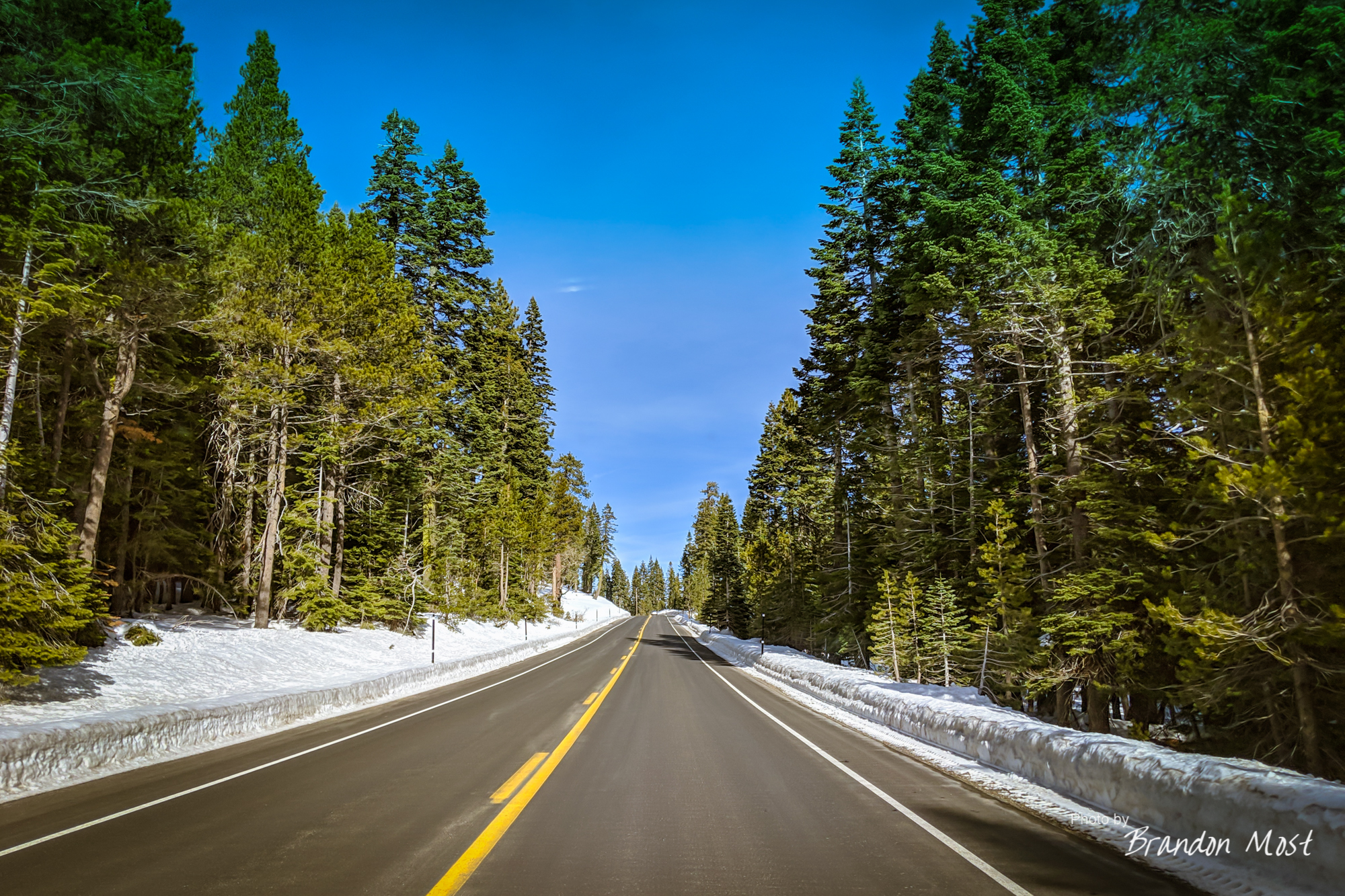

We left out of Jackson on Hwy 88 and meandered up through the Carson Pass National Scenic Byway. The roads were clear, but there was a bit of snow that we could stop and play in on some of the turn out and fire roads. We didn’t spend a lot of time playing but enough to try and get a feel for how the truck was going to do on the new tires and with all that added weight hanging off the back. I won’t lie the snow on the fire roads made me a little nervous. Trying to climb uphill we would climb on top of the frozen snow, then sink, then spin. We would have to back up and inch forward again. It left me a bit nervous to say the least.

After exiting the pass and crossing over to Minden Nevada we stopped at the Carson Valley Inn and Casino for a bite to eat. We pulled in just behind the first gen 4Runner pictured below. While I didn’t get a chance to meet the owner, I did make sure I parked by it to grab a photo. Talk about some graphics envy!


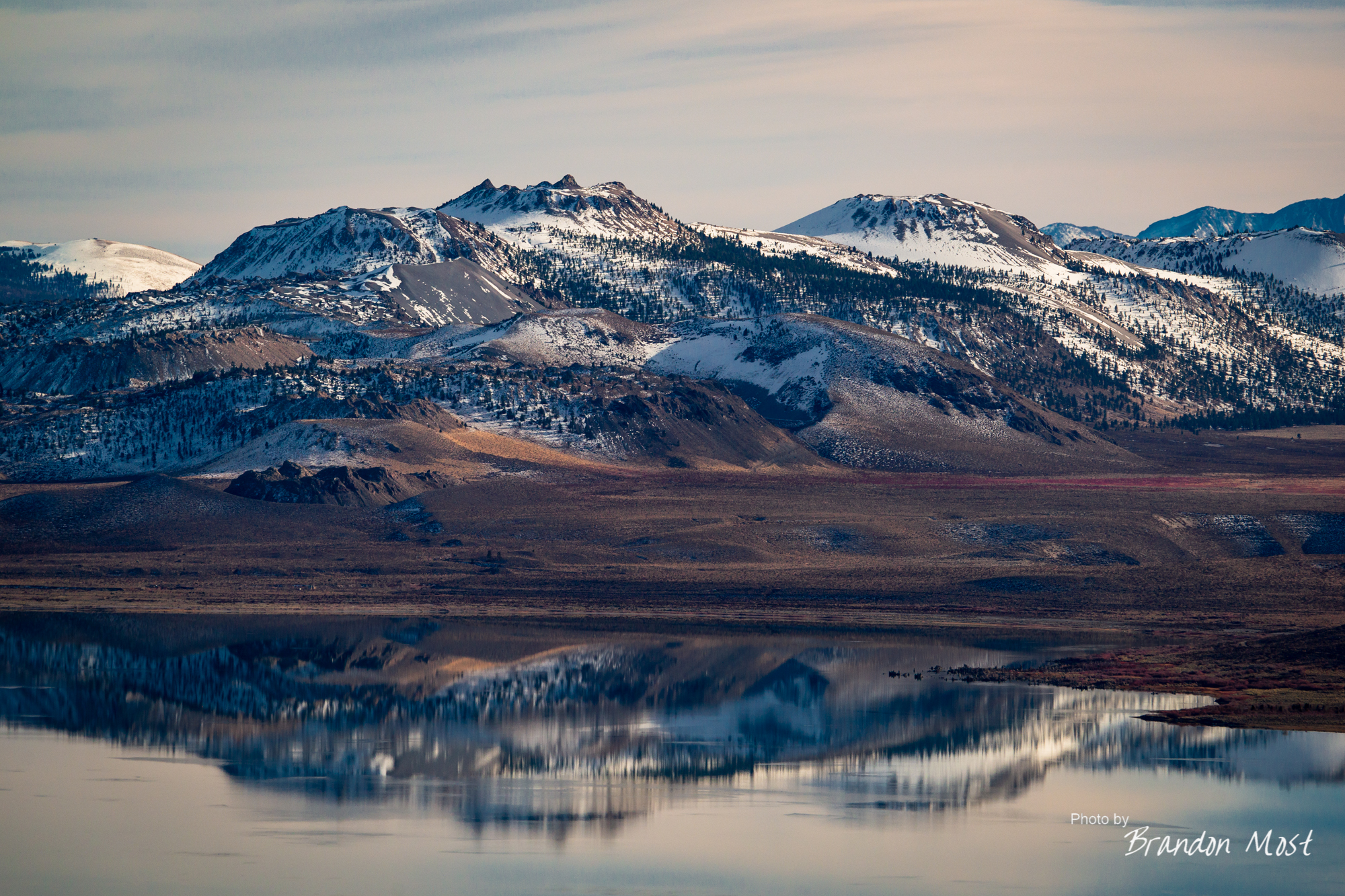
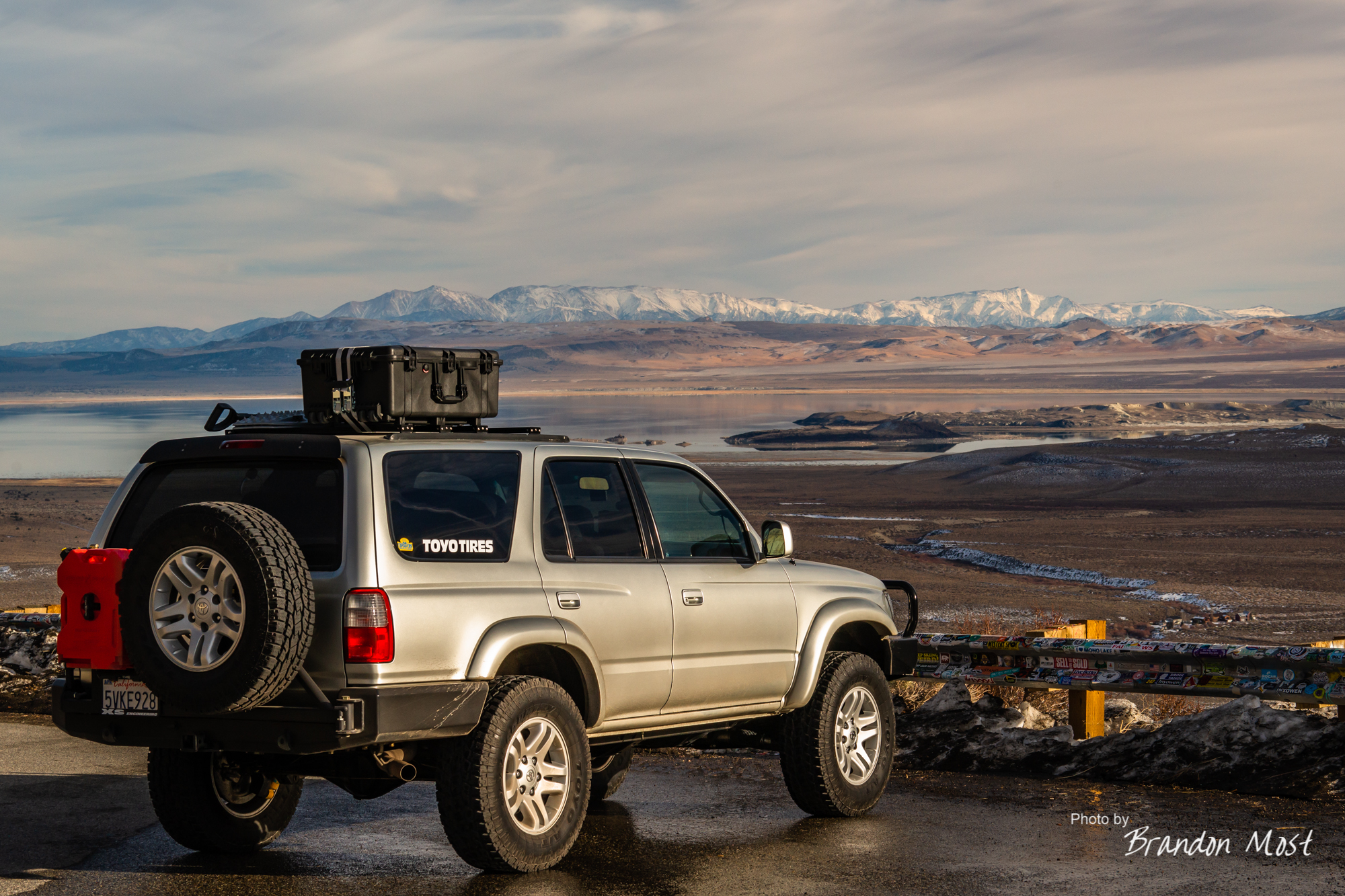
We left Minden traveling south on the 395 and crossed back in to California. Being still close to home we ignored most of the scenery here. The only exception was about a 5 min stop to snap Mono Lake from a “Vista Point” before moving on however.
Shortly after we hung a left and headed over to hwy 6.

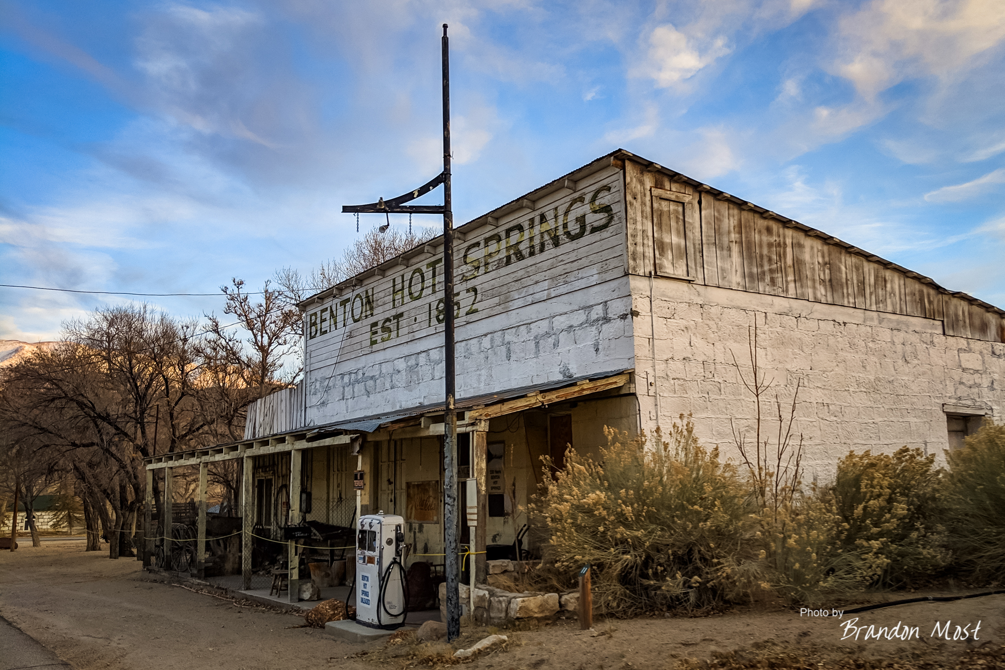
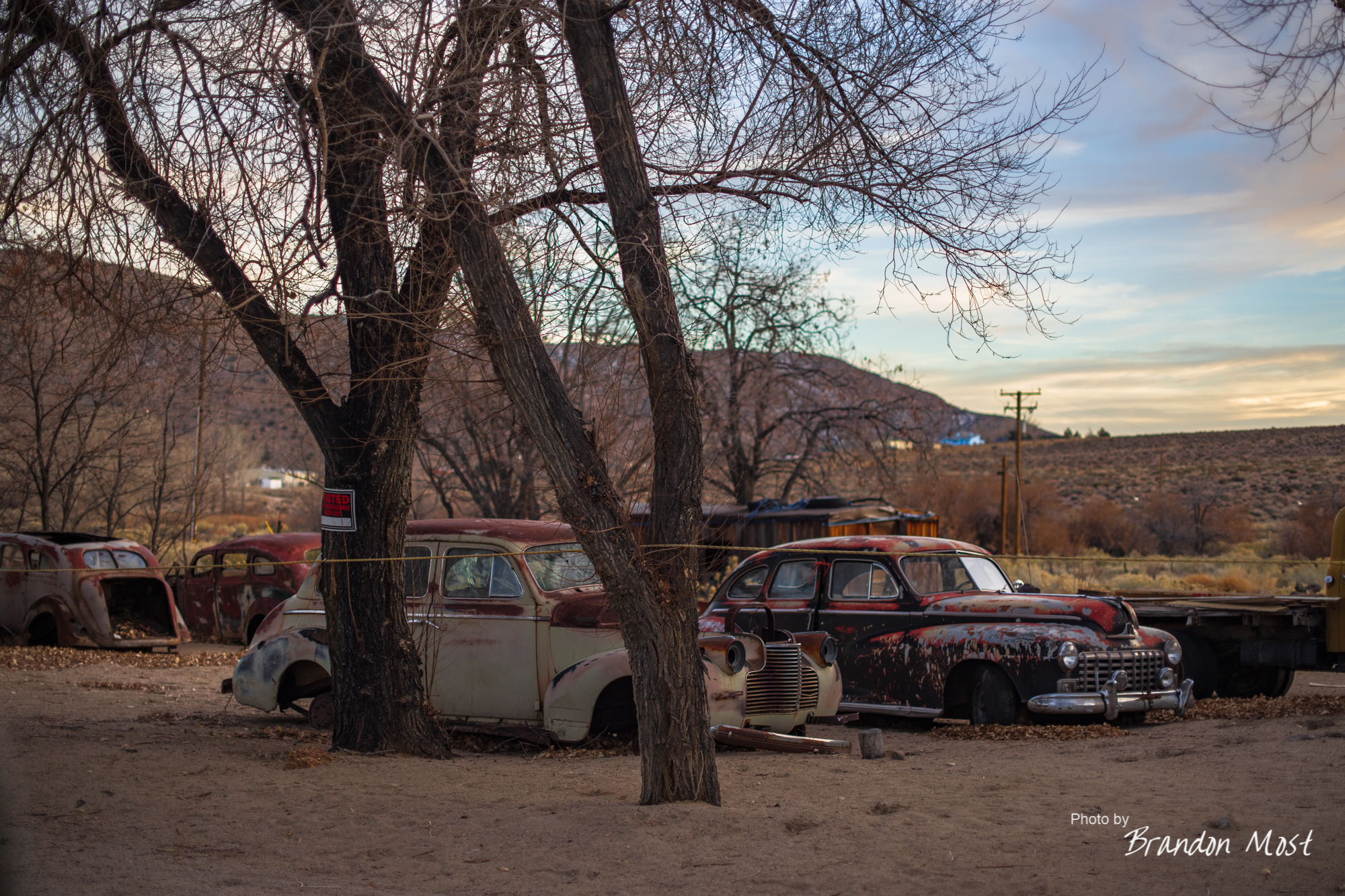
Benton Hot Springs was our next 5 min stop. It’s cool, but after a quick glance, it just didn’t have enough content to make it worth spending too much time. Of course it may have just been all those “No Trespassing” signs making us feel pretty unwelcome.


Eventually we needed more fuel, and the Chevron in Tonopah, NV did the trick. We made a quick stop at the grocery store, and could have left from there, but I wanted to go back for a shot of the Clown Hotel. Then it happened. Not even close to my first time, but the first time on one of these trips. I fell for the small town speed trap. Downhill at the speed change sat one of Nevada’s State Patrols. He wasn’t the biggest dick I’d met, but I might have been willing to upgrade that status after he followed us out of town.


I put the ticket in the glove box and continued down highway 6. We weren’t abducted, but it was rather obvious that we were bordering the famous Area 51.

Using the “I Overlander” app I had found the Chief Mountain South Campground before we left. The campground was just as described with the exception of being cold and deserted at this time of year. We converted the truck into sleep mode and called it a night.

Thursday December 20th 2018 Day 2:

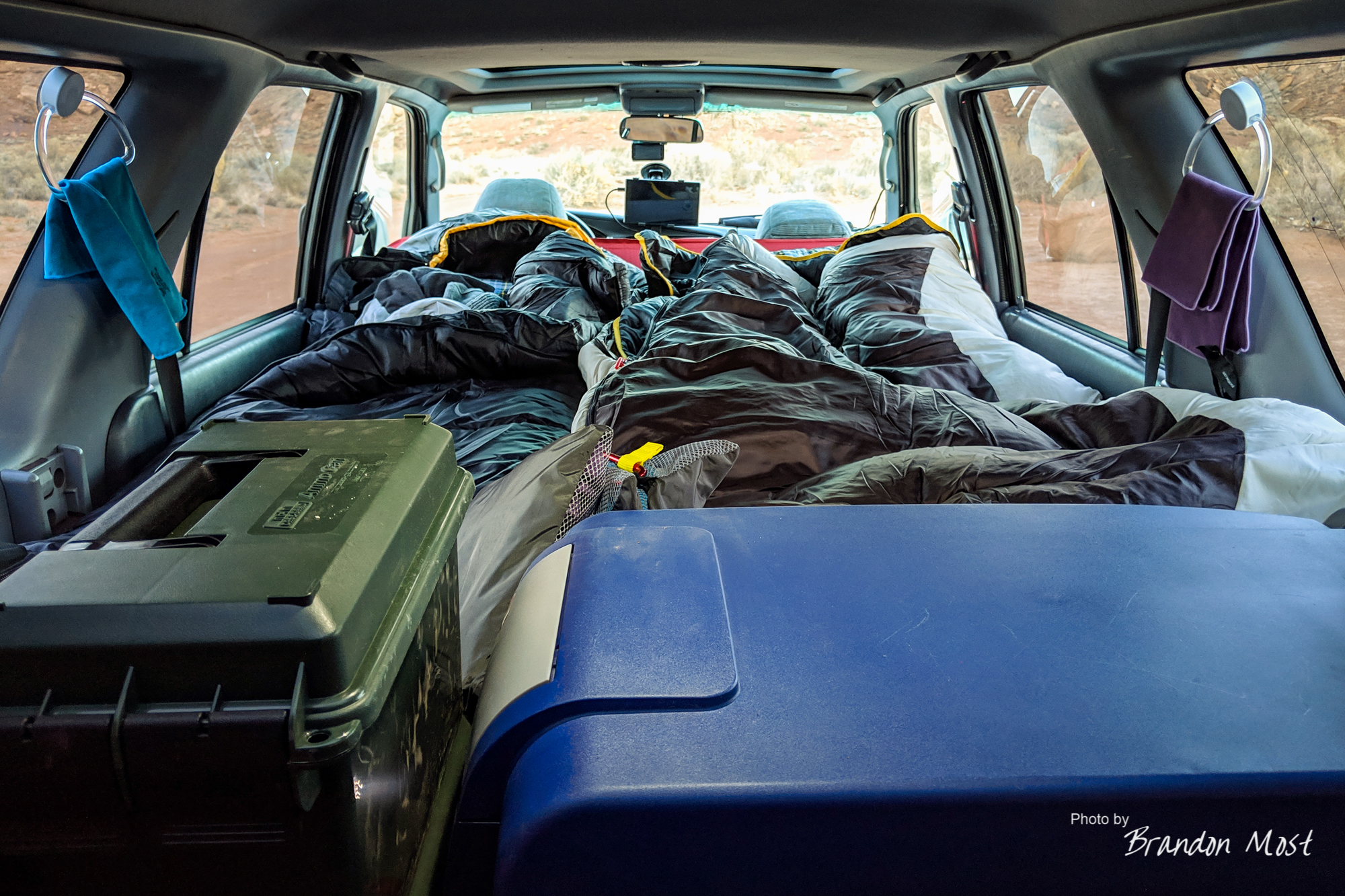
Yawn…. Day two kicked off around 4:30 AM. It was a bit chilly but still manageable. This was our first overnight stop with the new set up and the “champagne room” edition worked great. We used some shower curtains, and Jamie sewed in some magnets to allow us to quickly install and remove them. It goes up in under 5 minutes and offers decent privacy. As a bonus if you run the truck with the heater on high it keeps it pretty toasty inside. A huge win over changing “outside” or setting up our previous pop up shower tent thing.

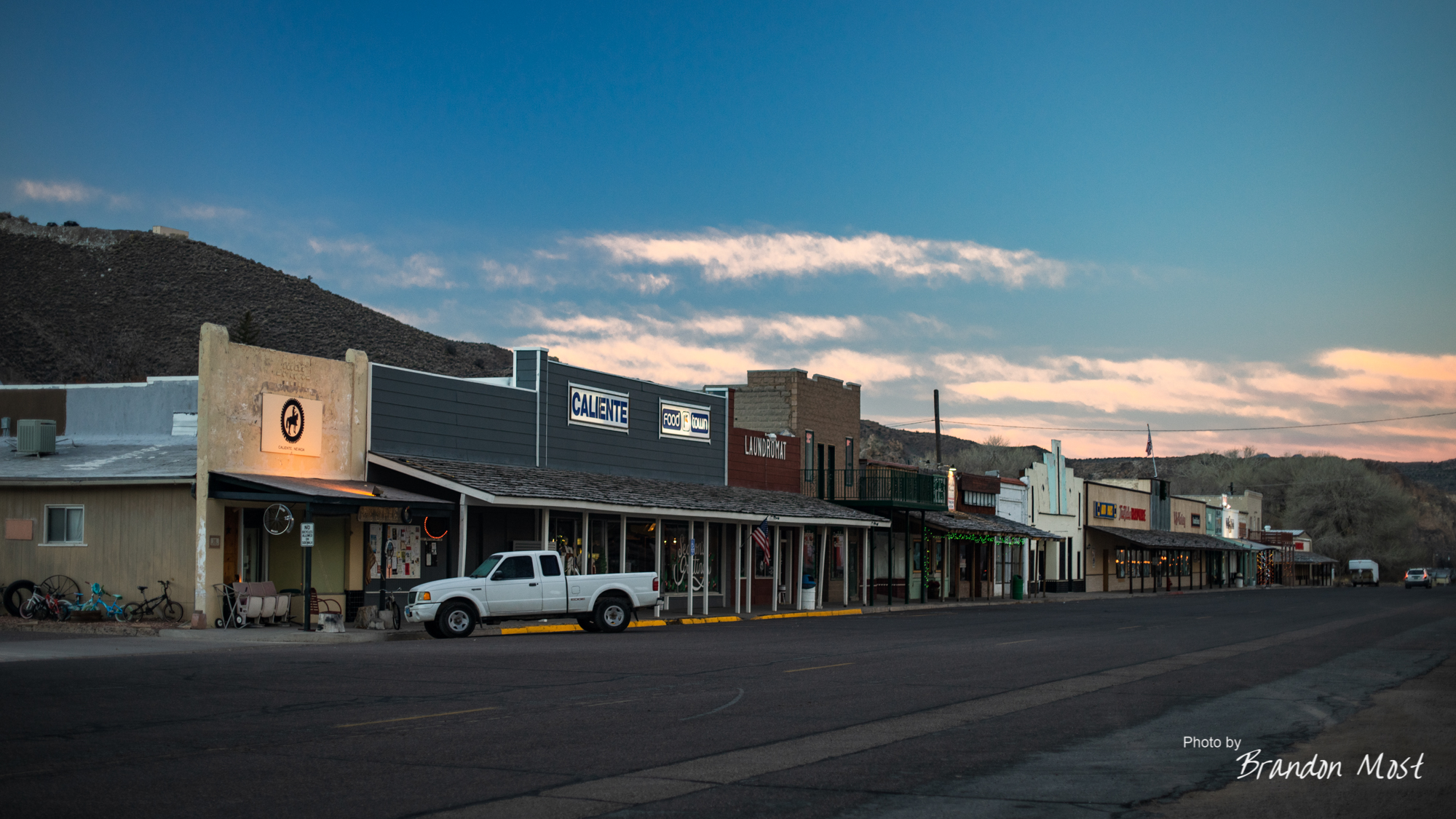
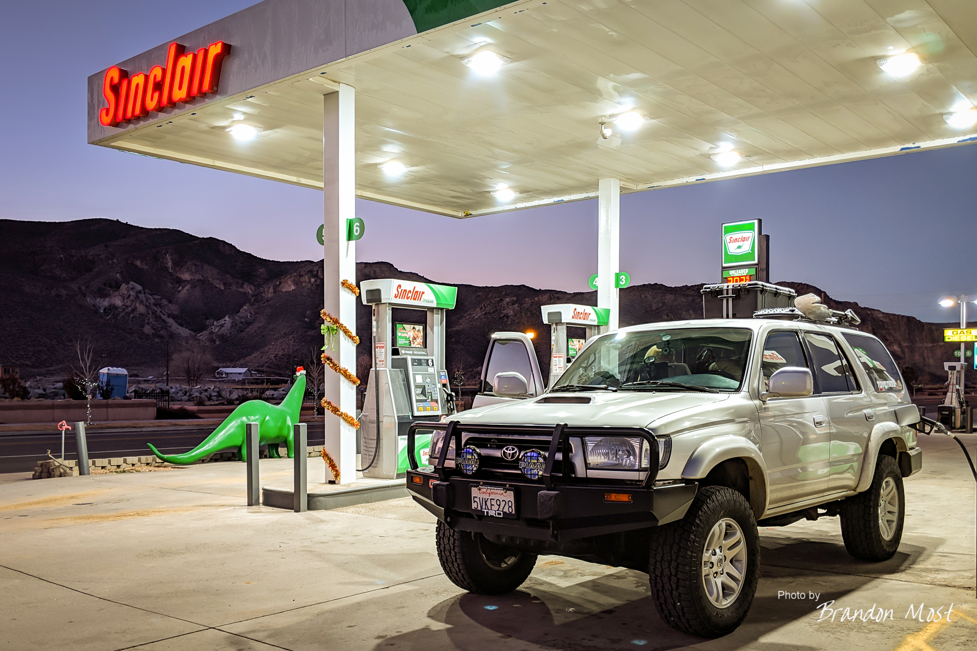
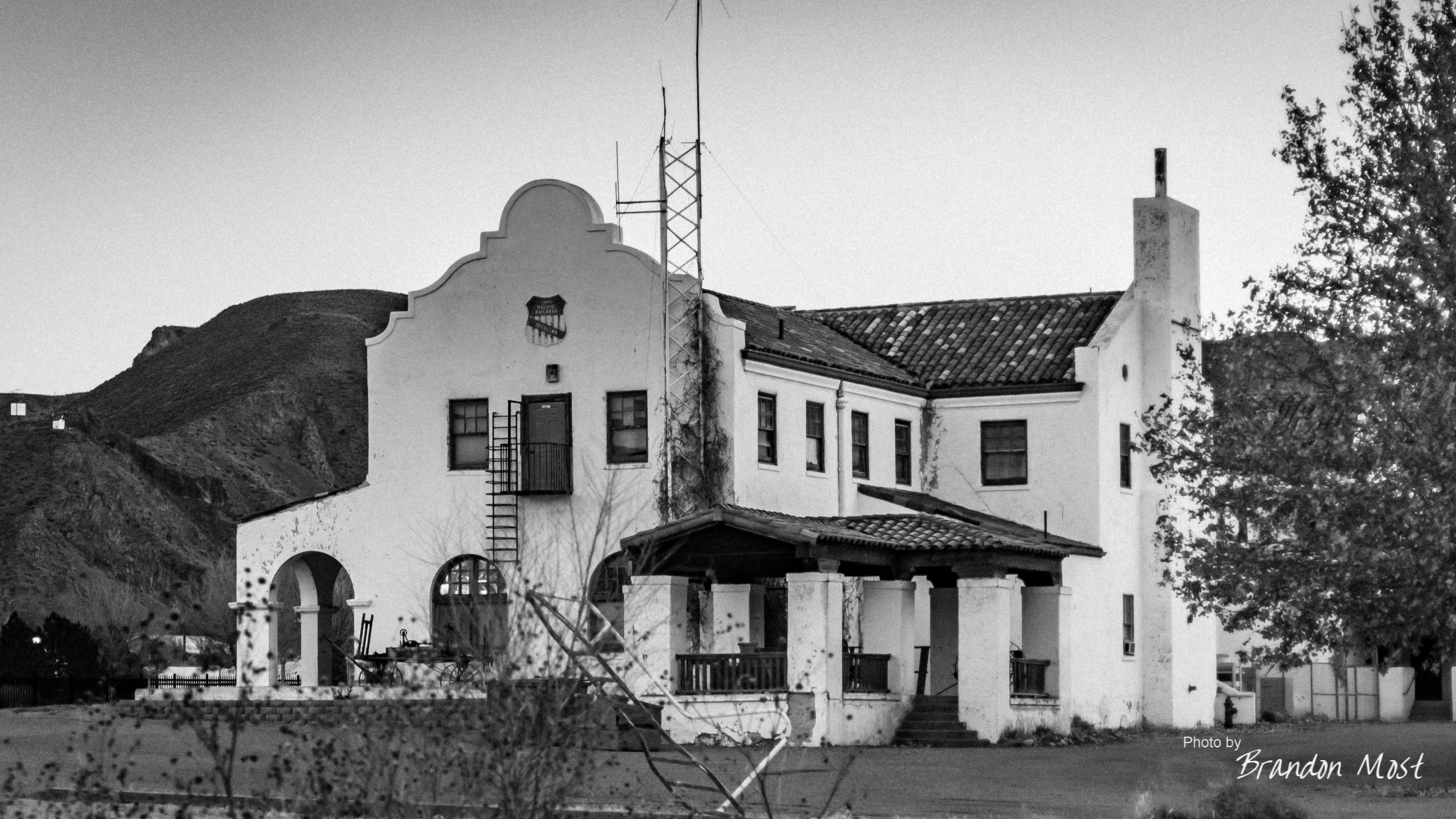
The town of Caliente Nevada was our first stop after leaving camp, and it had everything we needed. A Sinclair for fuel a cool vintage main street and a Spanish style train station. This is another one of those area’s that deserved more than the 5 minutes we spent, but we had bigger targets in mind.
We continued on Highway 93 up to the 319 where we headed east to the Utah border. Here the 319 turns to highway 56 and continues on through several small towns. The original plan called to continue on to highway 14 cutting through the Dixie National Forest. While there were some reports of the roads being closed, my email to their website to confirm went unanswered. The 148 turn off we were looking for was indeed closed.

Panguitch, Utah was our next scheduled stop, but the closed forest roads had us come in backwards. To make matters worse I had received an email back regarding our ferry ride across Lake Powell that was supposed to happen. The whole reason for leaving on a Wednesday was to make sure our arrival in this area lined up with the Ferry Schedule, and unfortunately the only schedule we ended up lining up with was the they Ferries repair schedule. We were both disappointed, but I was glad we were able to find out before heading down to the lake. If you can’t happen to catch the ferry it adds around 150 miles or so to your trip to drive around the lake if my memory serves.


Our pizza stop in Panguitch gave us a few minutes to make the decision to backtrack down highway 89 a bit and take the Scenic Byway 12 option.


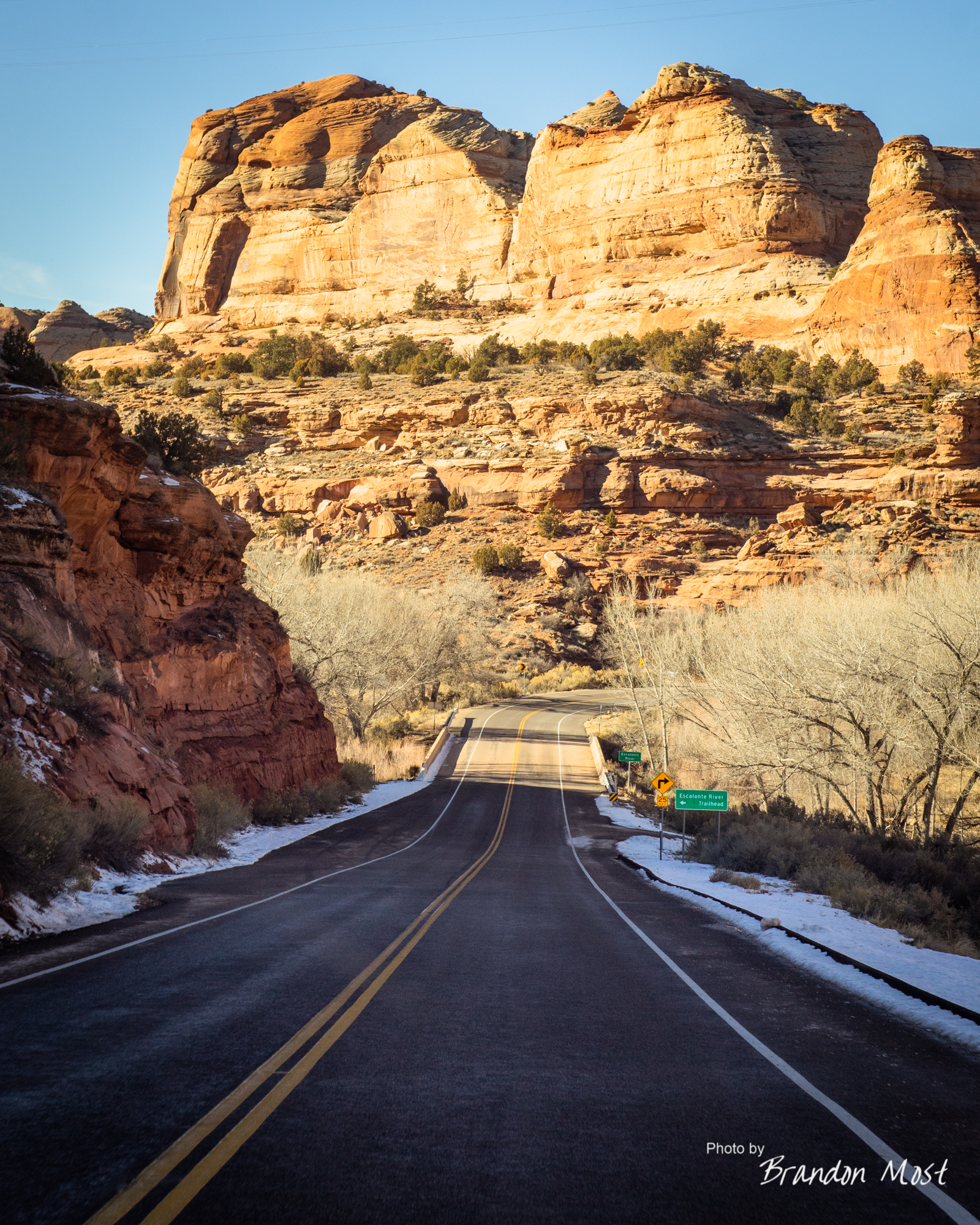
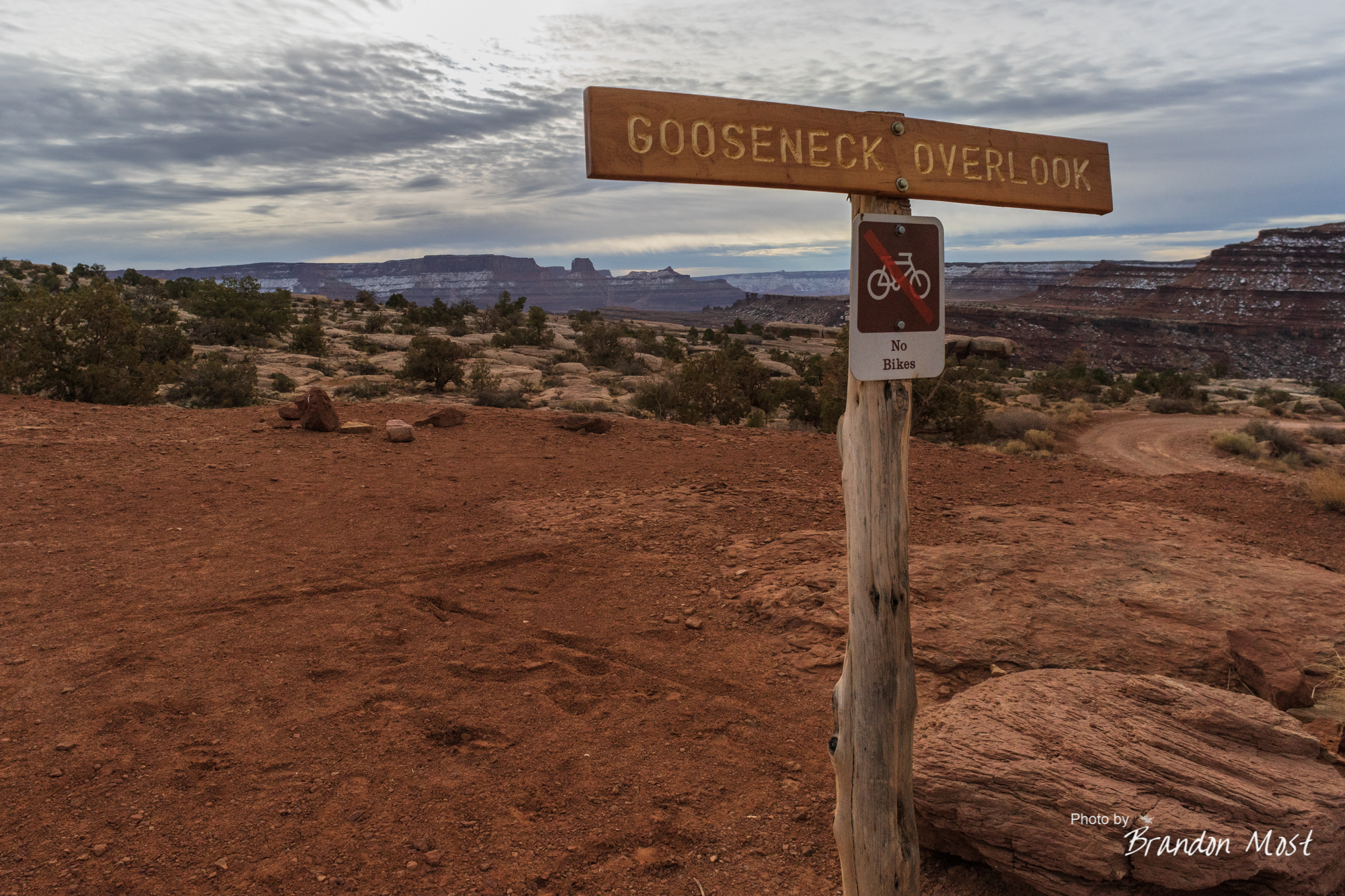
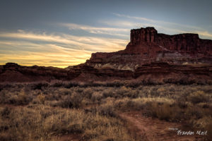
Highway 12 was a nice drive with some great views which eventually intersected with highway 24. As the sun was getting lower in the sky we stopped for a few more snaps along Highway 24 one of which was the Goosenecks Overlook.


This is a beautiful stop just down an easy gravel road that was well worth the drive. As the sun got lower we finished up Highway 24. A short distance down Interstate 70 had us back on the 191 and into Moab where we grabbed a hotel for the night and got prepped for what was to be one of the truly best parts of the trip.


Friday December 21st 2018 Day 3:


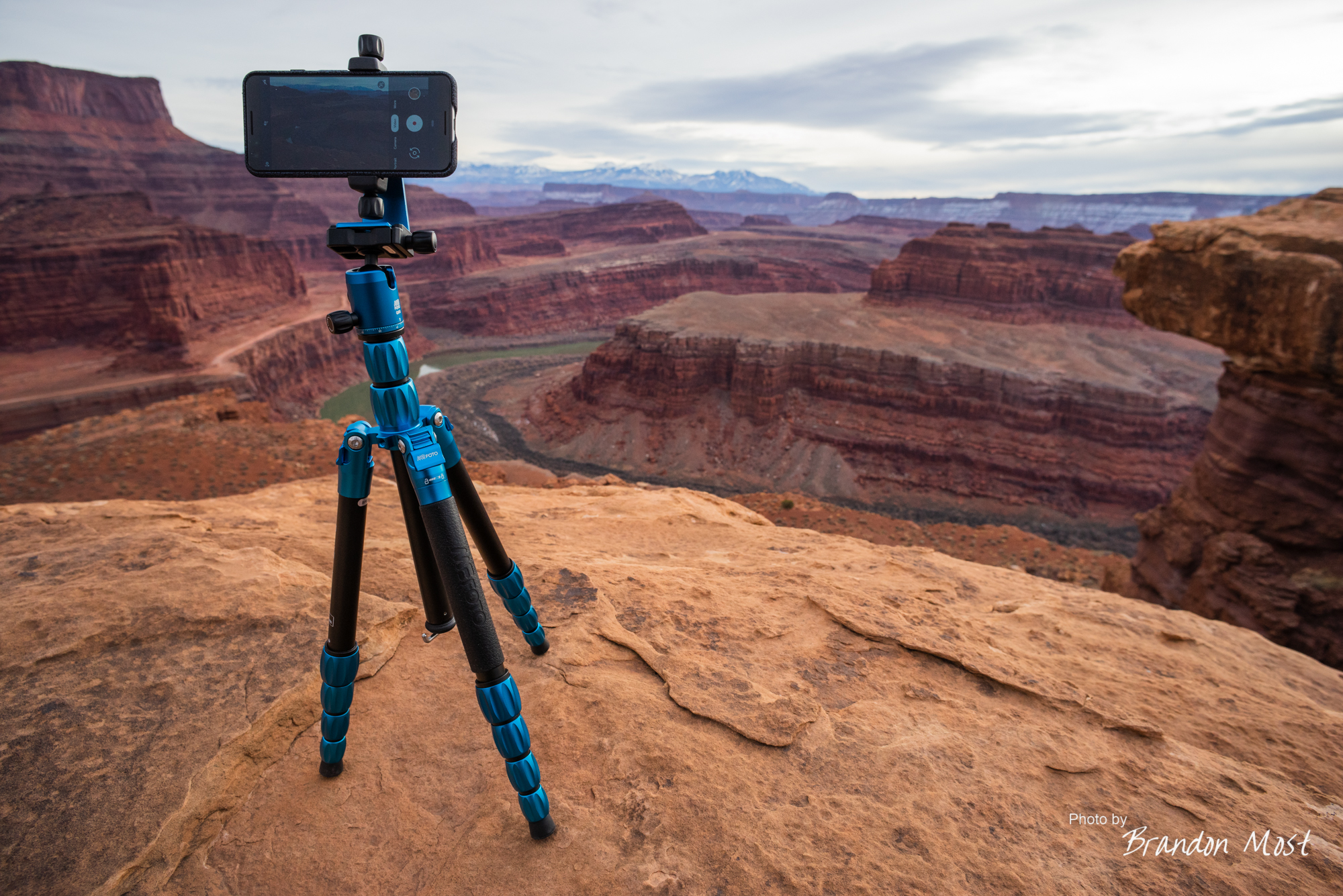
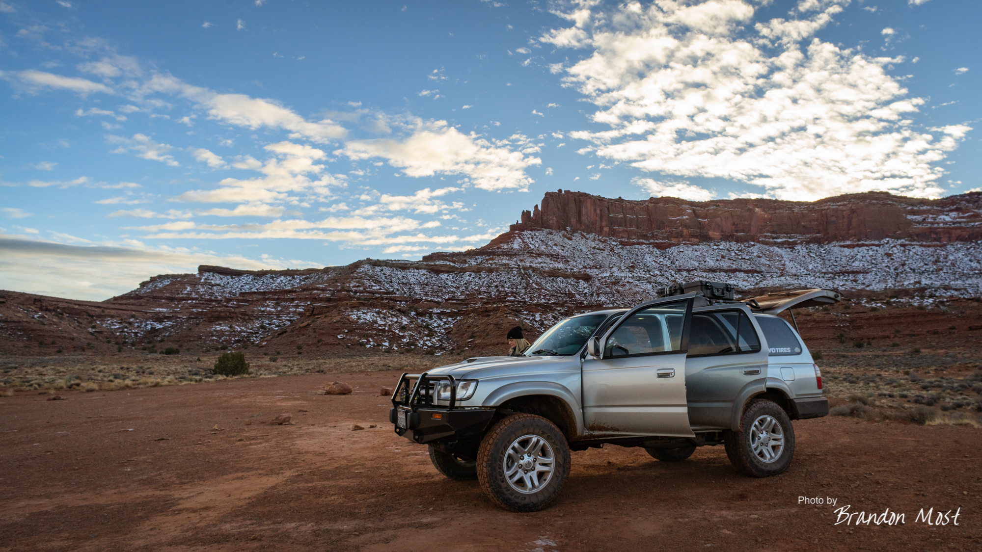
Some people go on vacation and sleep in and relax. Others of us get up even earlier than normal to make sure we can be out of our hotel and 30 miles down the road all before sunrise. We thought loading the truck at the hotel parking lot was cold until we stopped just past this sign to wait for the scheduled 6 AM sunrise and air down the tires.

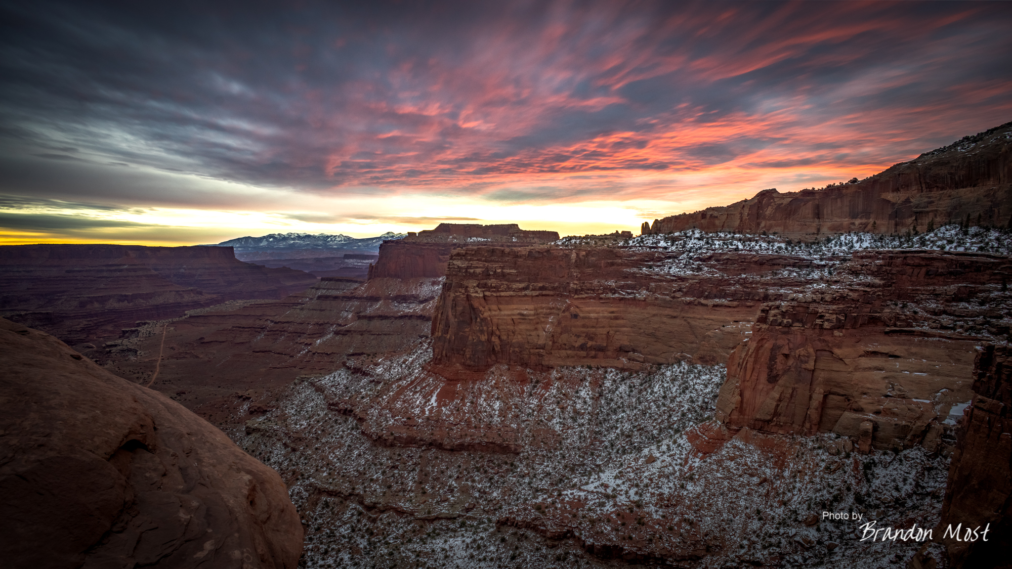
The sun finally began it’s ascent over the mountains but was veiled in clouds long before we got the spectacular view that I had pictured in my head.

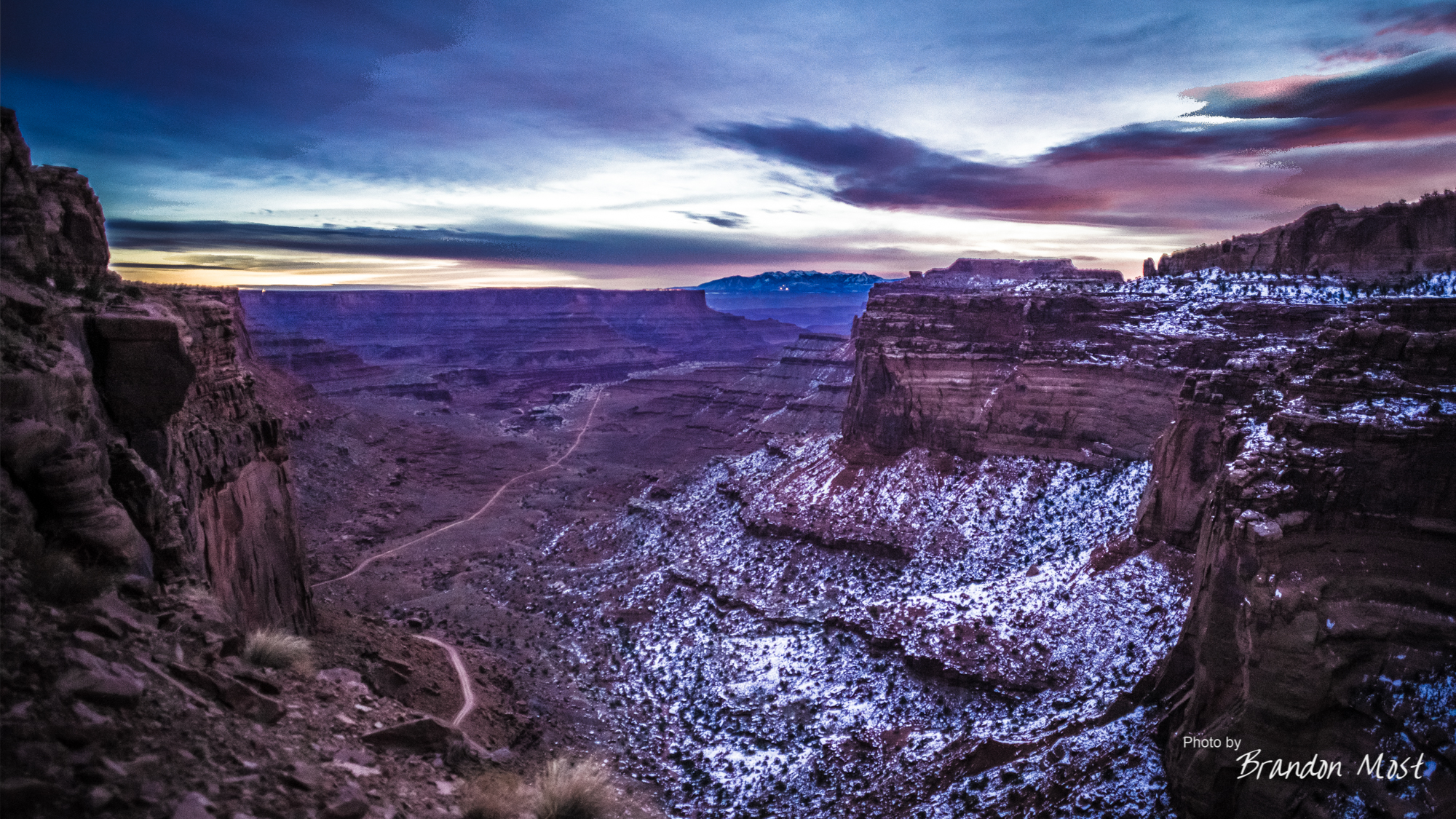
Even if we didn’t realize that picture perfect moment our path was now clear and we began our decent down the switch backs. It took just over 15 minutes of easy driving to be at the bottom near the Potash Road cut off.


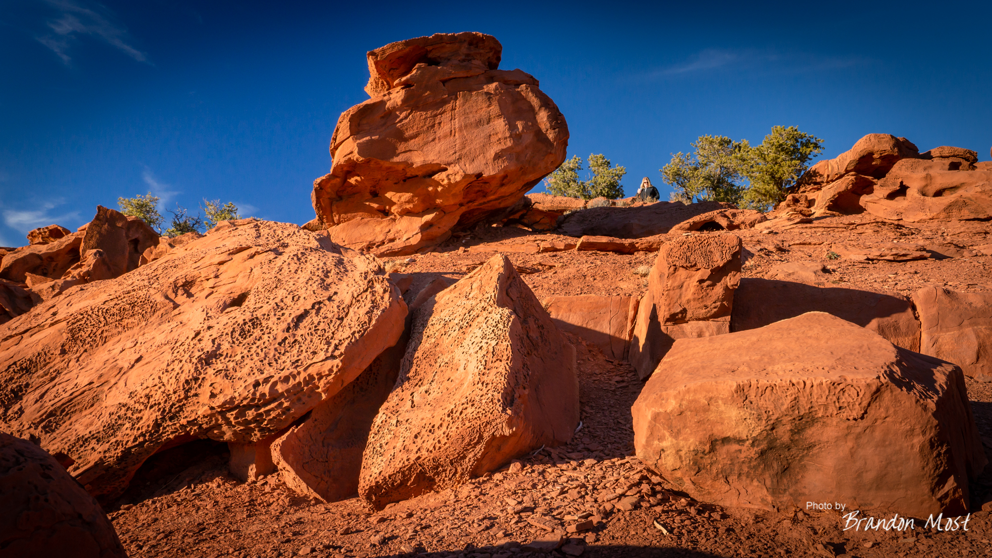
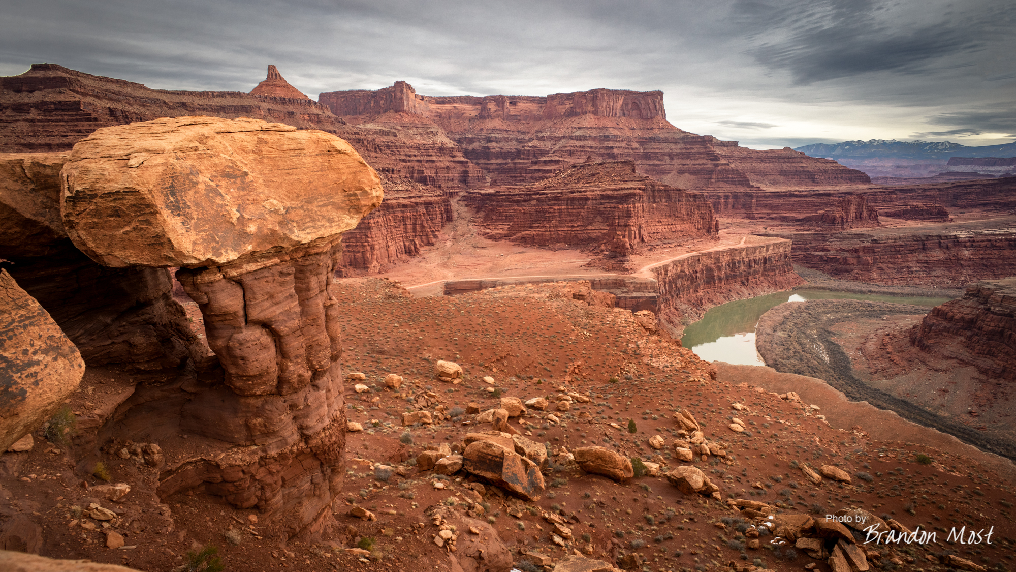
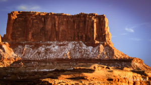
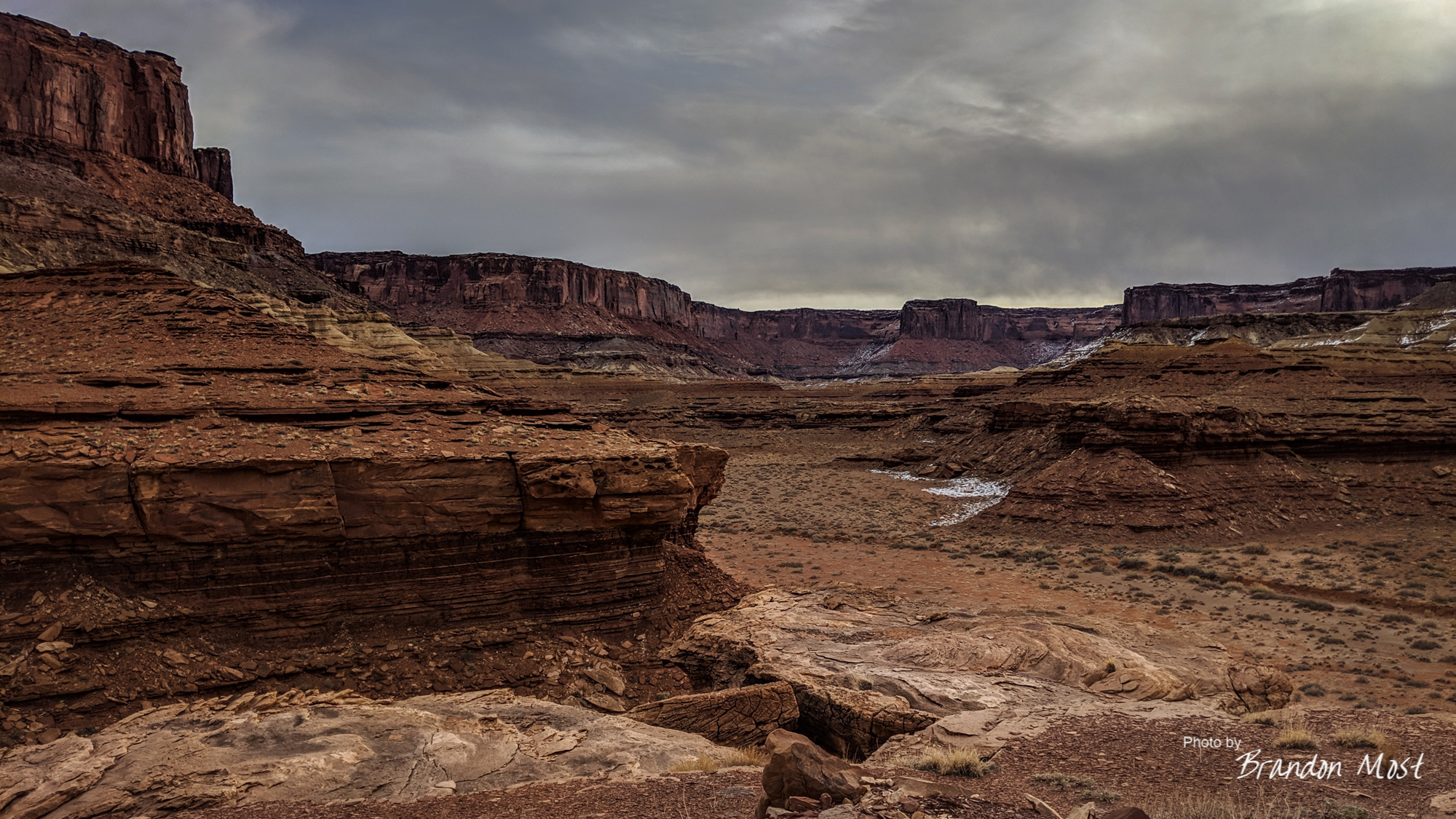
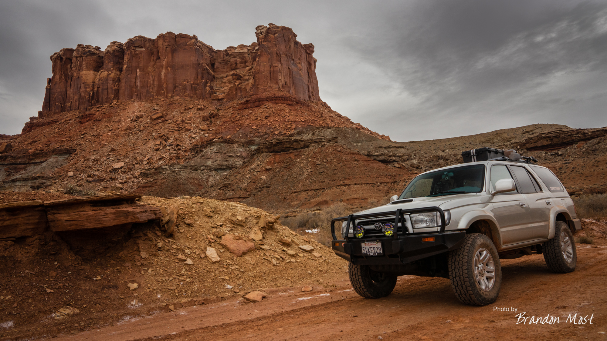
Obviously we had to stop and snap some photos. None of which can actually compare to being there and being surrounded by this scenery.

The 360 degrees of amazing make it almost impossible to know when and where to stop and when to keep driving. Our very slow pace got us to the Gooseneck Overlook trail head around 8 am. We let the trusty 4Runner have a moment to rest and headed off on foot.


We didn’t get very far in to the short 1/4 mile hike before we were spotted by the local wild life. We were so focused on looking for the cairns that we got closer to the family breakfast spot than I probably would have guessed we could have. The kids didn’t seem to mind, but dad kept both eyes on us as we detoured well around their food source.

Knowing what I know now, I might be tempted to try and make this our sunrise stop the next time around.


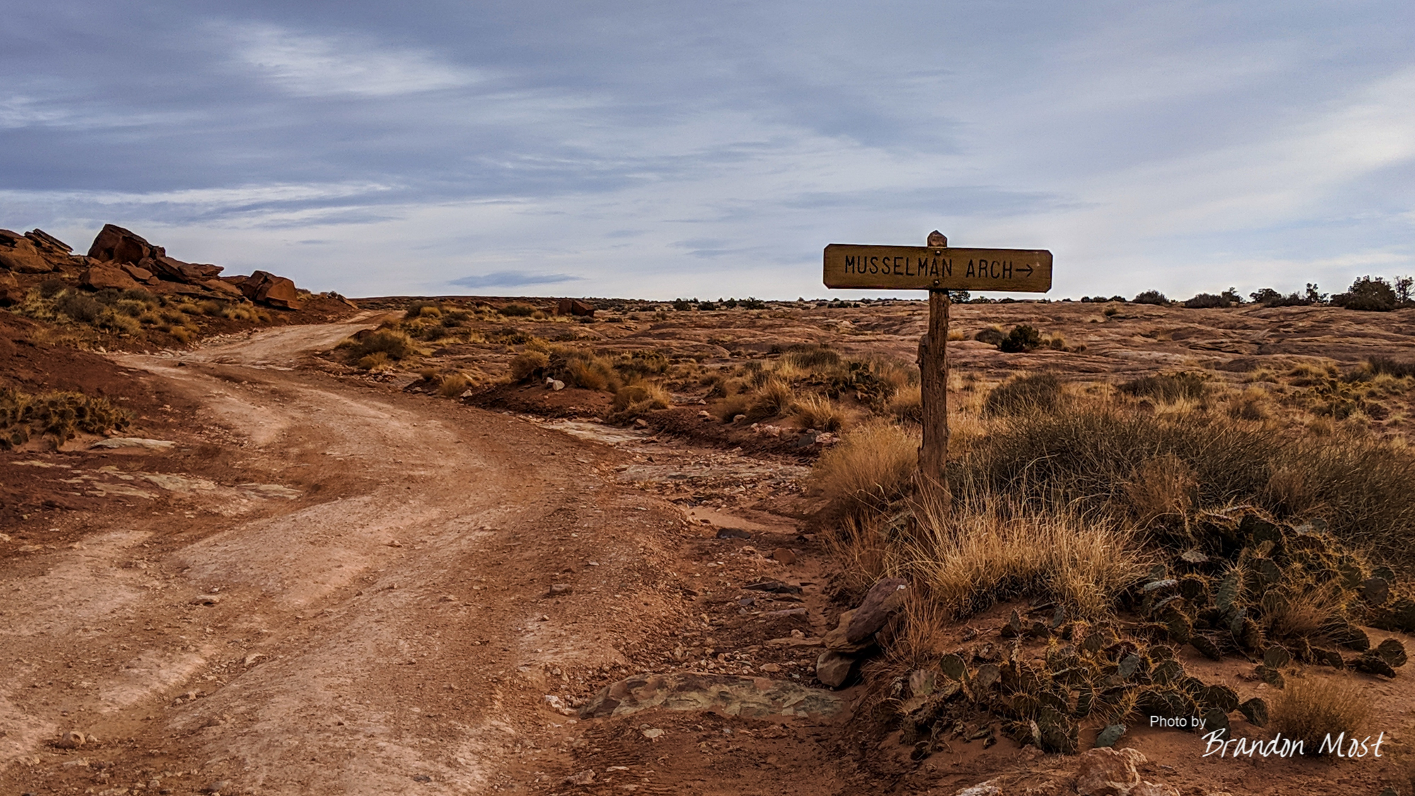


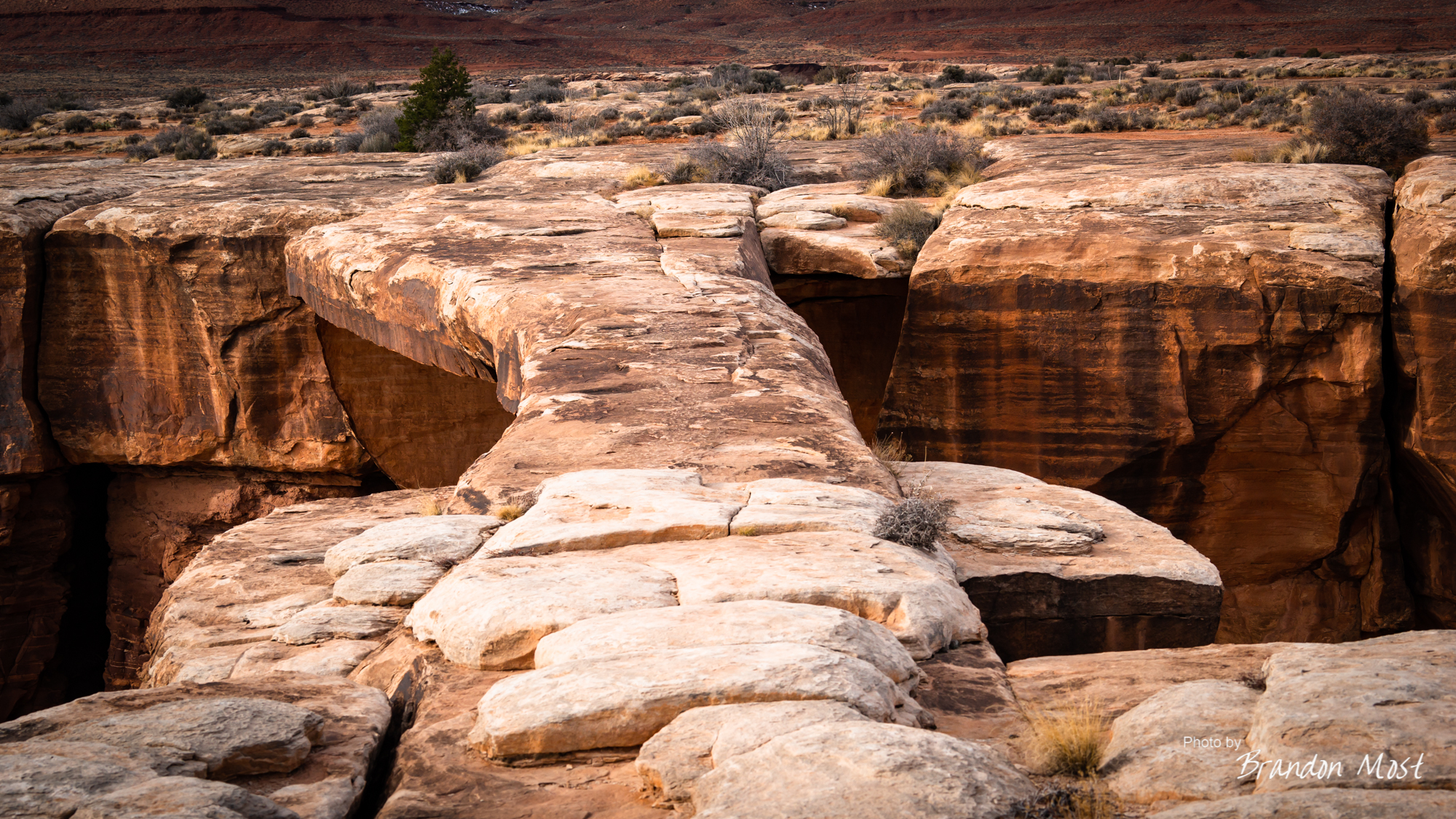
The Muscleman Arch was our next stop that had us out of the truck and walking a bit. Living in California and being constantly bombarded with rules can make you feel like anything goes in Utah, so I can see where the lack of fences and onsite babysitters might leave some people tempted to ignore the warnings and take photos on the arch itself. I’m proud to say that while we did get close to it, we also used the magic of telephoto lenses to make it seem like we were closer than we really were. When we left the arch it was just as we found it, which is more important than us getting a single photo.
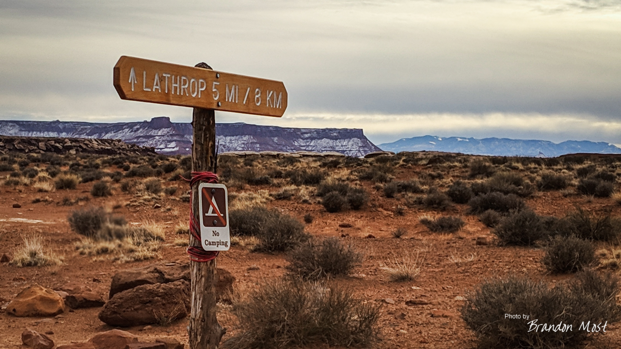


Shortly after returning to the White Rim from Lathrop we suffered our first vehicle set back. The secondary battery was no longer providing power. It turns out the main 100 amp circuit breaker had given up. Luckily there was enough slack in the wiring that I was able bypass the breaker with a spare bolt and some electrical tape to insulate things. It wasn’t the safest solution, but auto parts stores are a bit lacking on the White Rim.

The next major stop of the day was also the last. Gooseberry Campground was our sleeping spot for the night. We had only seen one pair of mountain bikers all day long, and they were now long gone, so we had the campground completely to ourselves.


Saturday December 22nd 2018 Day 4:


Day four or day two on the white rim trail started at “moon set”. Yes the moon was so bright that we didn’t actually need flashlights to see and any night photography was completely impossible. As the moon dropped below the mountain on one side of us the sun started to highlight the mountain on the opposite side.
Our camp site was scenic, but not the best thing we had seen the day before so it only made sense to pack up and head down the road on the gamble that we would see a better sunrise else where.

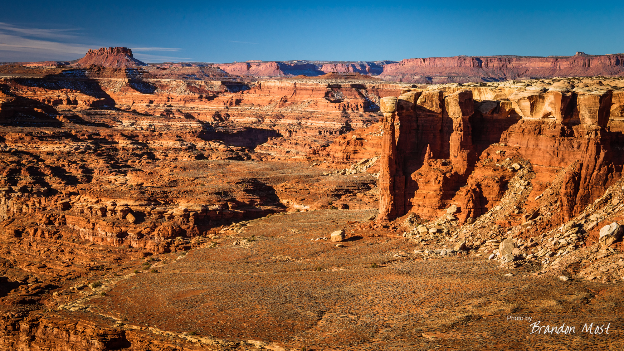
It turns out we were right. What I later learned was Monument Basin was “right around the corner” and we were able to arrive there by sunrise. I set up one camera on time laps, and started snapping with others. The time lapse was less than spectacular only capturing the sun and the clouds fighting it out for supremacy in a mediocre sky.


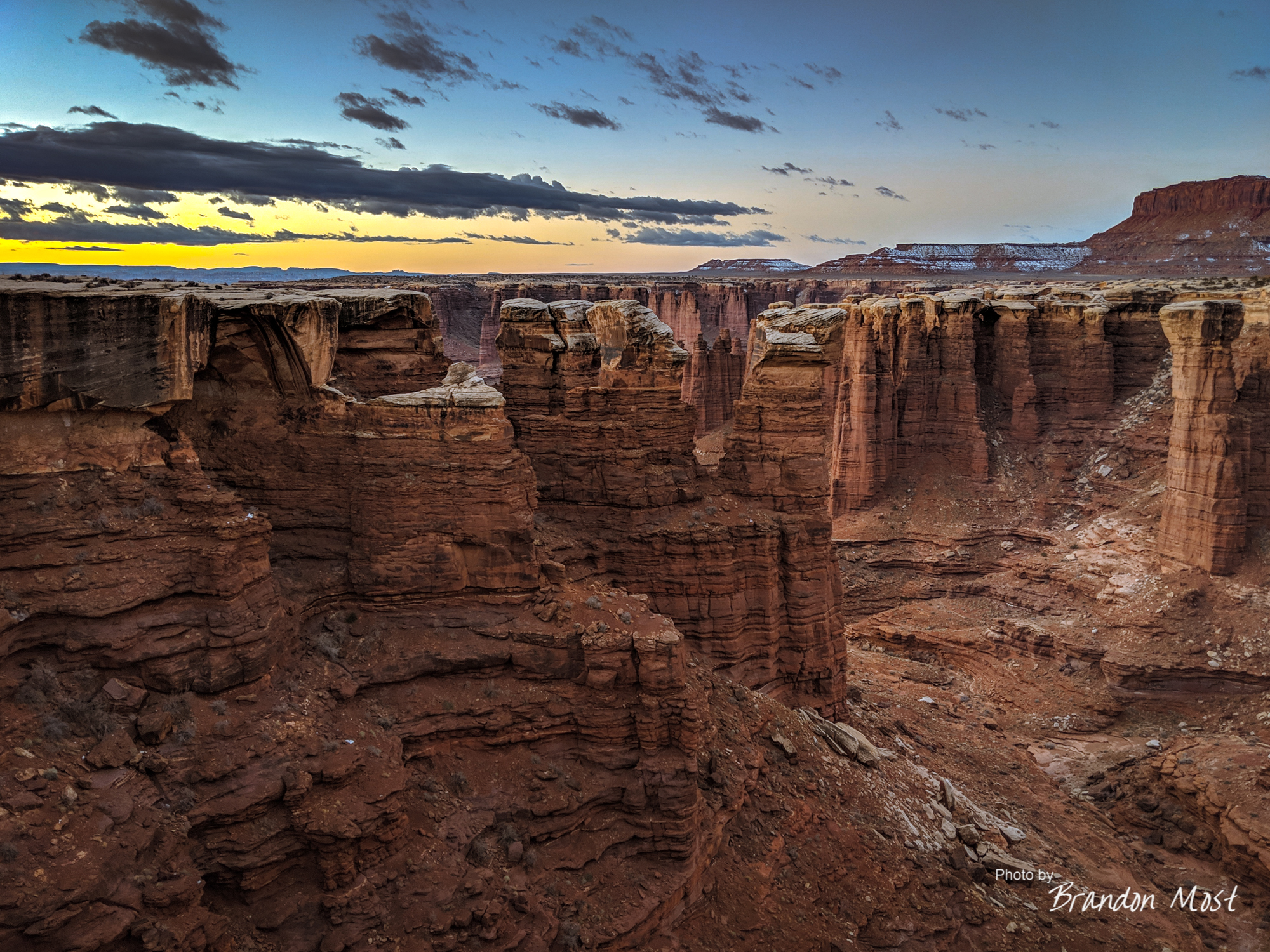

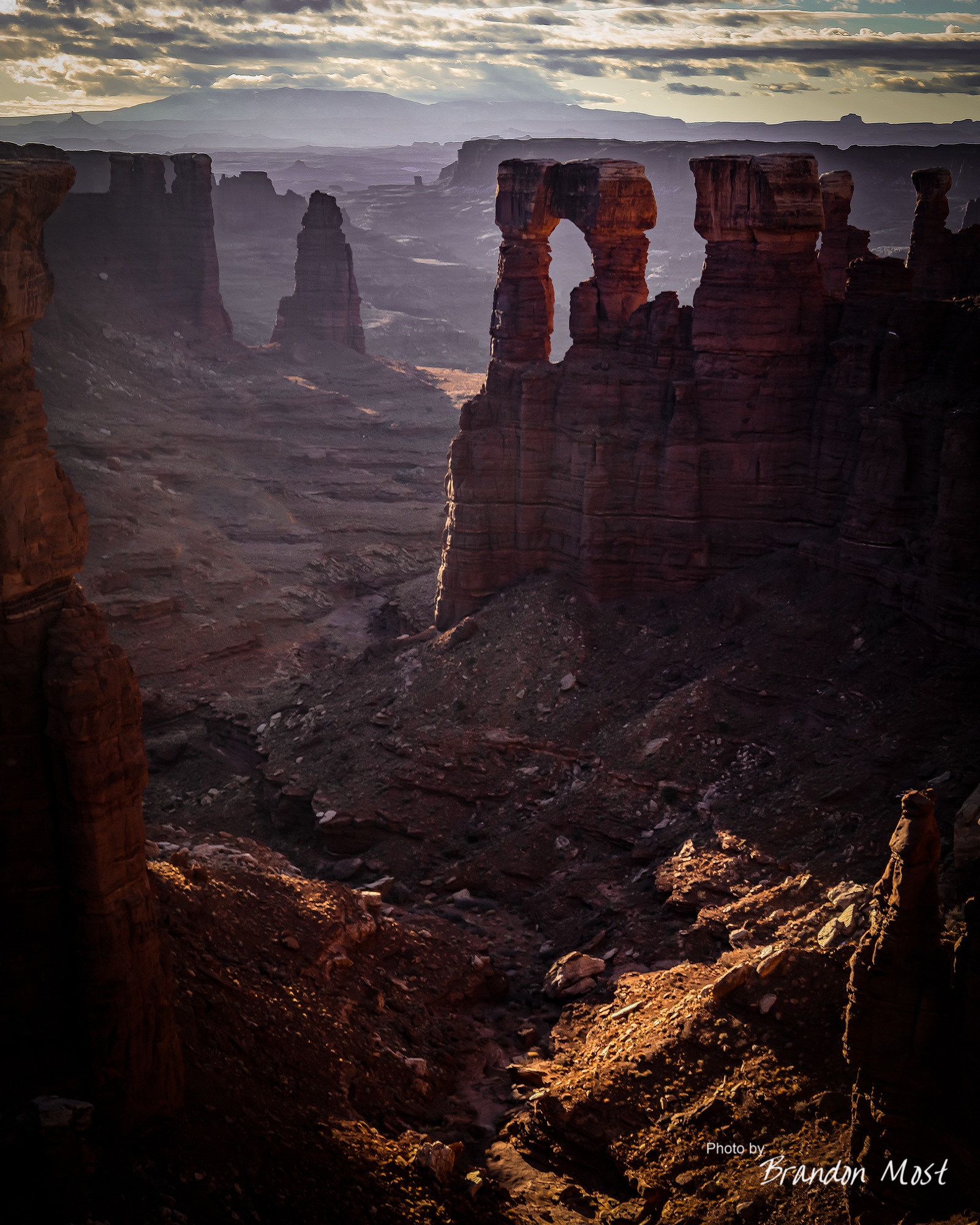
This single area was no doubt the highlight area of the trip for me. I can only imagine what this area would look like if there were paved roads to it. It would be nothing but fences and tripods. Luckily for us this wasn’t the case, and the only tripods belonged to us as we had the whole area to ourselves. Once again the sun failed me. Spending most of its golden hour hidden by the minimal cloud coverage. I was still able to grab what I think are some awesome shots, and ever more important I was able to experience this area in person.

We continued on stopping in random spots for photos here and there until around 11AM we got our first taste some “real off roading”. The ascent of Muphy’s Hogback is the first place we had to go up anything really difficult. If you’re used to hard core rock crawling this won’t be a big deal. If this is your first time off road this will probably freak you out. I’ve got a decent amount of play time off road, but it’s been a while since I’ve done anything this steep and with nothing to catch you if you make a mistake. Luckily we didn’t.
The drive down the other side was another story. Not quite as steep, but with the added fun of a bit of snow and ice mix. Luckily it wasn’t much and someone else had been through already so I was able to follow the tracks to some extent. A spotter won’t be a bad idea here.

We stopped a few more times between the hogback descent and our Potato Bottom campsite, but I didn’t snap many photos. Maybe it was that the other canyon’s paled in comparison to my morning at Monument Basin, or maybe it was that my nerves were still a bit on edge from the drive.

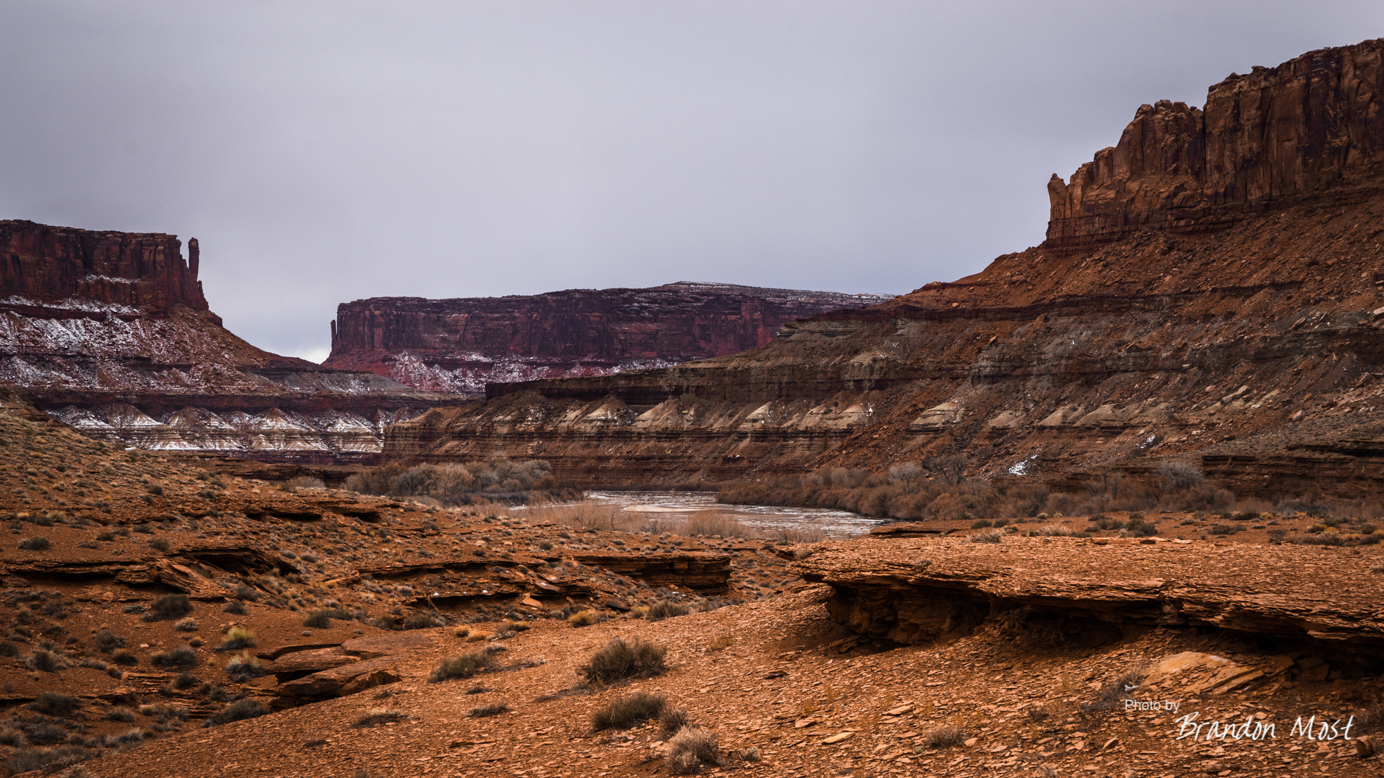
We arrived at the campsite early enough to have time to do more than just set up the camp. We took a few minutes to make the short walk through the brush to the Green River which we once again matched elevation with.


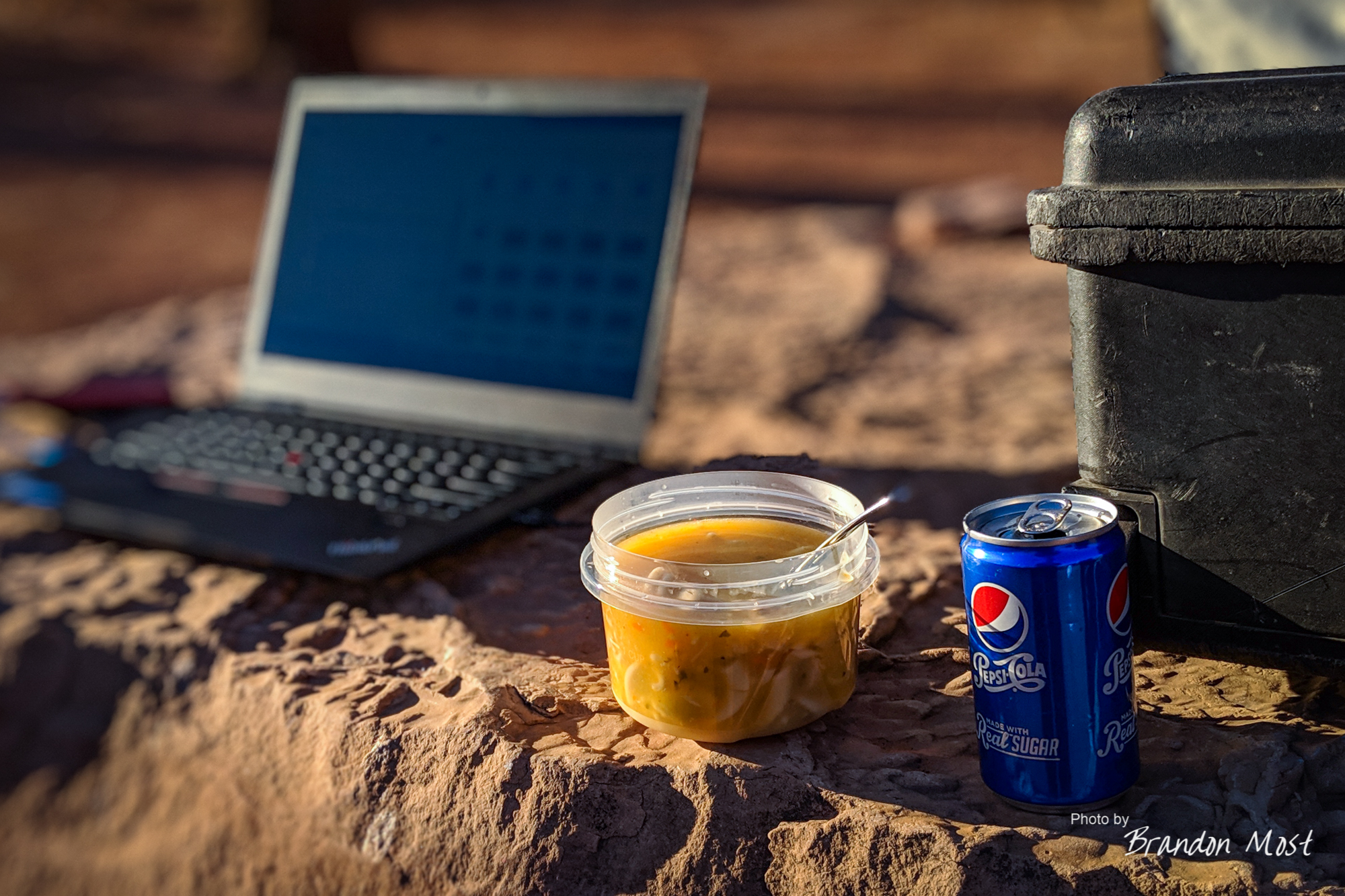


We were also able to offload photos and videos to the laptop and hard drive for back up. We were also able to spend a bit of time snapping photos around the camp site. I’ve certainly stayed in places with worse views.


Sunday December 23rd 2018 Day 5:

My head is starting to itch. It’s our third day on the White Rim Road, and starting the day off with a shower and a little relaxing sounds really good. The reality however is that it’s around 20 degrees out side. That means we are jumping out of bed to set up the “champagne room” so we at least have a heater while we change. The only places to relax are either by staying the bed or in the front seats after transforming the truck back to driving mode. I guess today driving is relaxing.
 Mother nature didn’t even tease us with a sunrise. Instead we went from dark to not as dark with rather blah gray skies. We still stopped at a few key place and snapped photos, but for the most part we were more interested in seeing what the trail held for us rather than sight seeing.


The trail condition was more similar to the previous day than the first day. Nothing impossible, but steeper grades and snow cover was more the norm than the exception.


By mid morning we were at the technical end of the White Rim Road. A sight that was both sad and welcomed at the same time.

The end of the White Rim didn’t mean we were home free. There’s still a few miles a dirt BLM road through Mineral Canyon before you reach the final climb out.

Believe it or not this section of the road is pretty easy and well maintained. We actually saw a Honda parked off to the side of this. We must be getting near civilization.

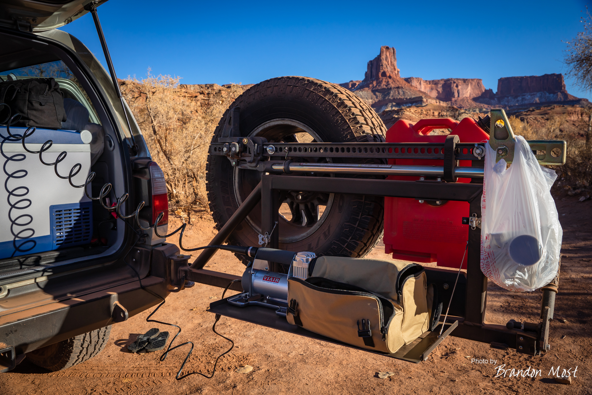
A half an hour later we were finally at the edge of the pavement but before we could leave the 313 behind for the 191 we needed a little more air in the tires. Viair was once again put into use. This compressor is definitely in the running for best pre-trip purchase this year.

By lunch we were back in Moab and able to take care of the essentials. Things like: food, shower, fuel, a new circuit breaker for the truck’s second battery, and a toilet with running water.
In hind site we could have stopped for more photos, but knowing what we had planned for the following day it was better to error on the early side.
Monday December 24th 2018 Day 6:

This was not the plan. The original plan called for leaving Moab, and heading south on the 191 and then hang a left on the 145 and spend a couple of days exploring southern Colorado before moving into Kansas.
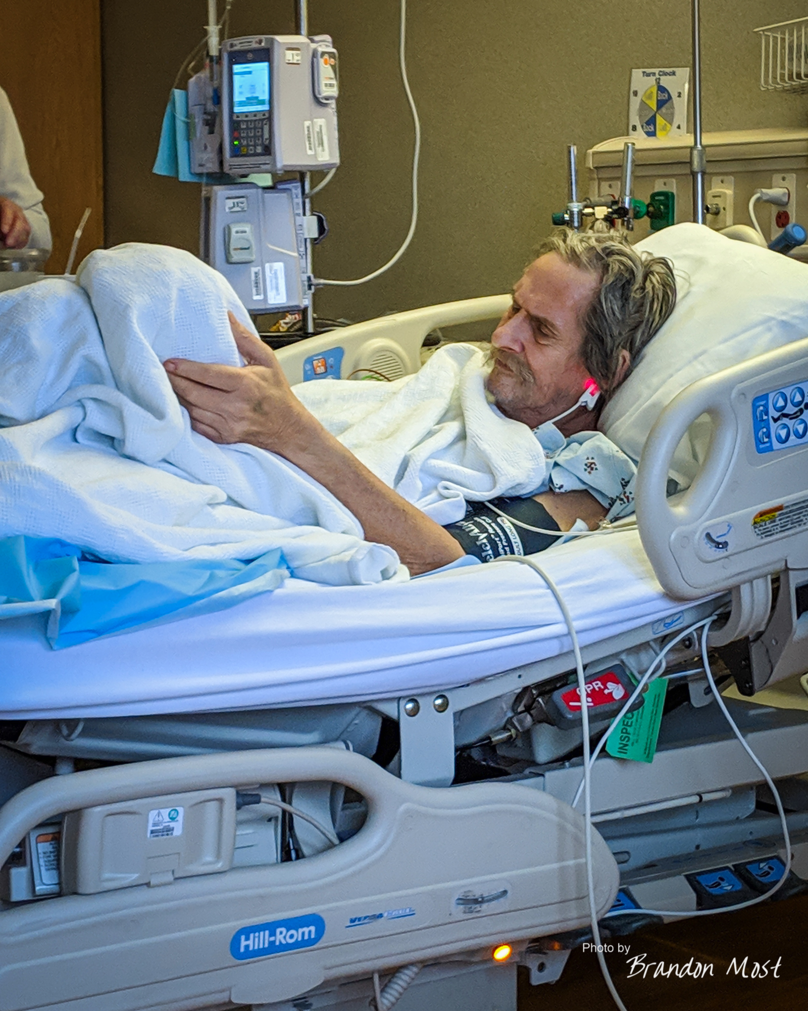
Of course plans change. It was Christmas eve, and my dad did just have his foot cut off so …. wait what? Yeah, if we back up to the evening of day 2 we received a phone call from my dad saying that he was going in to the hospital the next day to have his left leg amputated. I knew he had issues walking, and I knew they had tried to do some vein replacements, but I didn’t really know things hadn’t gone well and we were down to this option. We were told “not to worry about it and finish your trip” but obviously that wasn’t going to happen. Had we not postponed the White Rim section of the trip more than twice, already had the the camping spots paid for, and already there, we probably would have skipped that section of things as well.

We got an early enough start that we hit “Colorful Colorado” just after 8 AM. Unfortunately the color we saw most often was going to be white.


We had a decent amount of snow falling from shortly after we left Moab, all the way until we dropped into Denver. We did see more than a few cars off the road, a couple on sides or roofs. Other than a few spots we made decent time.
Doesn’t look like we just washed the White Rim off the day before does it? Nothing gets your truck dirty quite like being stuck behind plow trucks dropping gravel.

Eastern Colorado looks remarkably similar to Nebraska. Either way we were missing our scenic canyons and mountains from the previous days!

Welcome to the “Good Life”.


Where gas prices are cheap and Arby’s was the best thing (only thing) opened on Christmas eve for dinner. Someone remind me to talk to my travel agent!
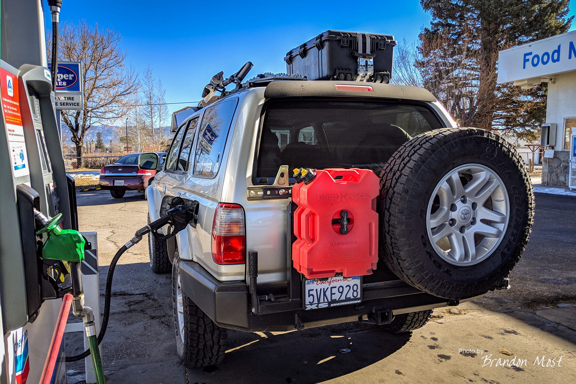
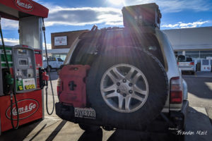
Other than stopping to test out the Rotopax’s usefulness when someone tried to push just a little too far to that next gas station the rest of the drive in to our Omaha Hotel was pretty uneventful.
Tuesday December 25th 2018 to
Tuesday January 1st 2019 Days 7-14:
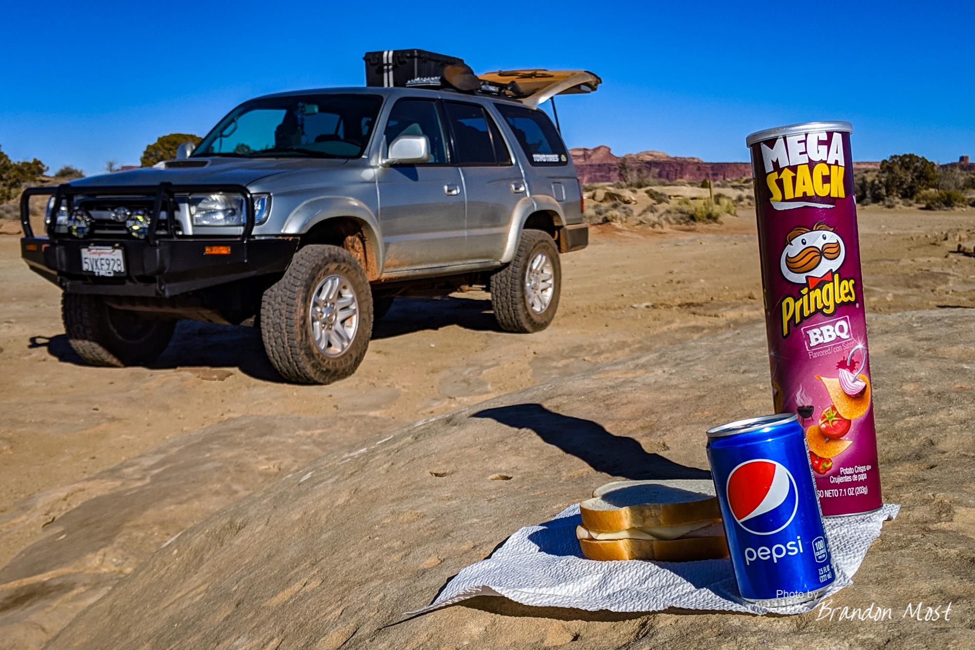
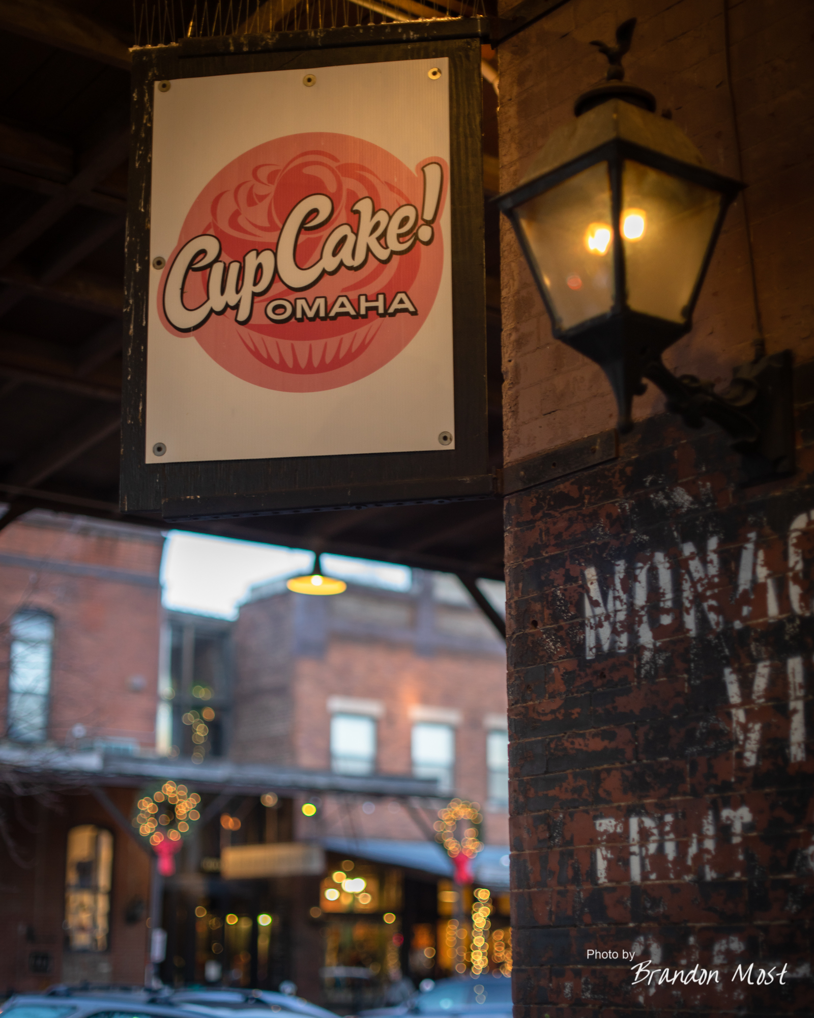
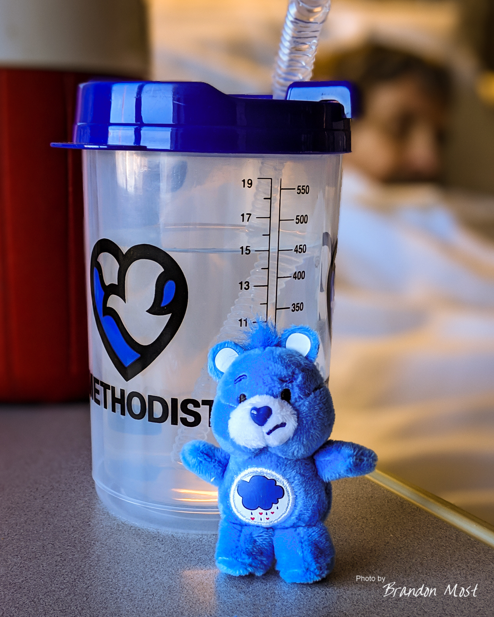
 Most of this week revolved around stops at the hospital. That doesn’t mean that we didn’t stop to pick things up, eat some meals, and even take a few minutes to snap some photos. Rather than give you a day by day reenactment, I’ve just broken the week up into categories and I’ll let you decide what you want to see larger versions of.
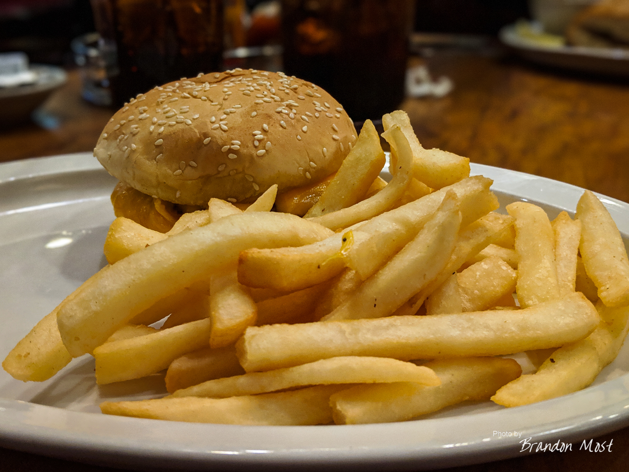
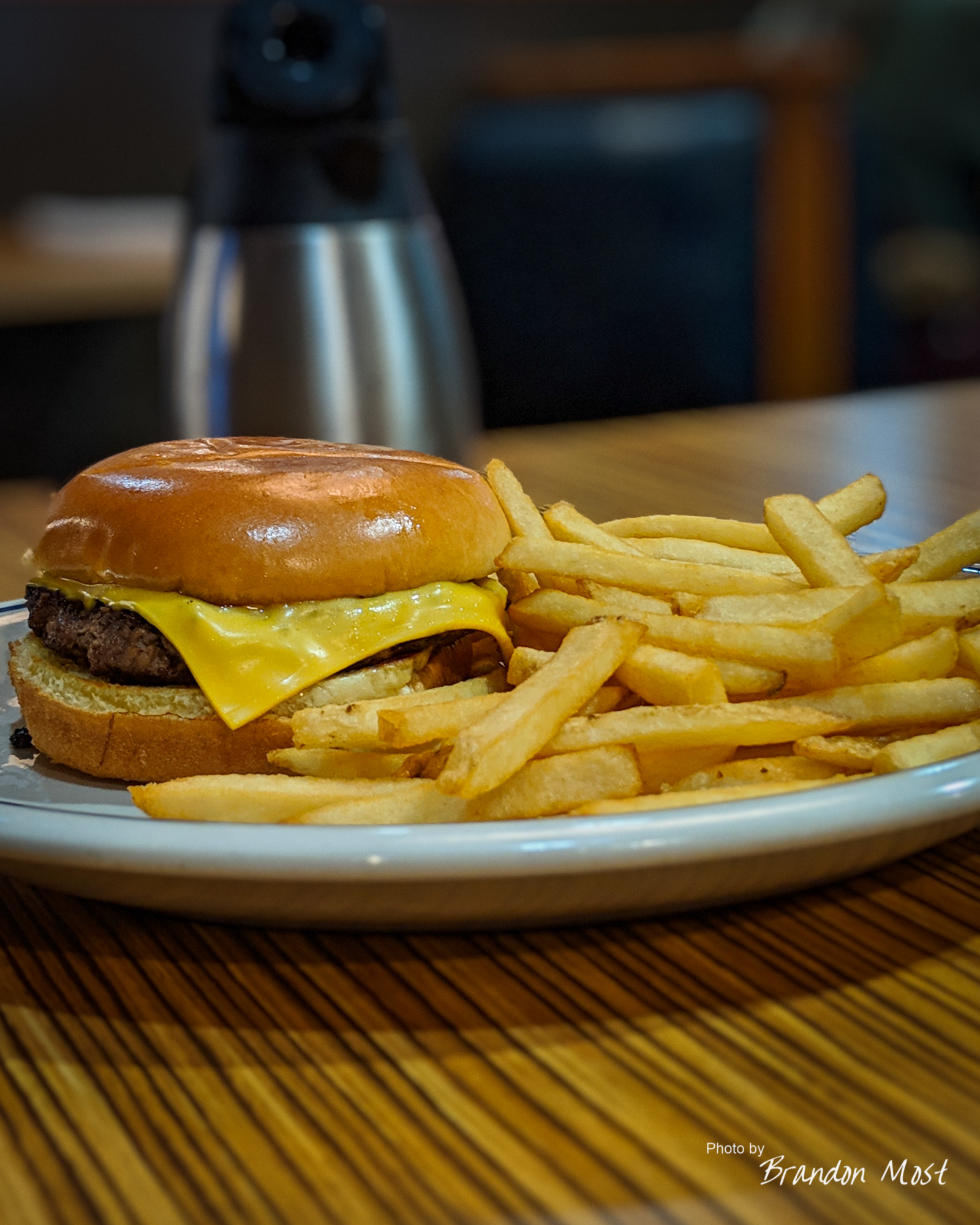
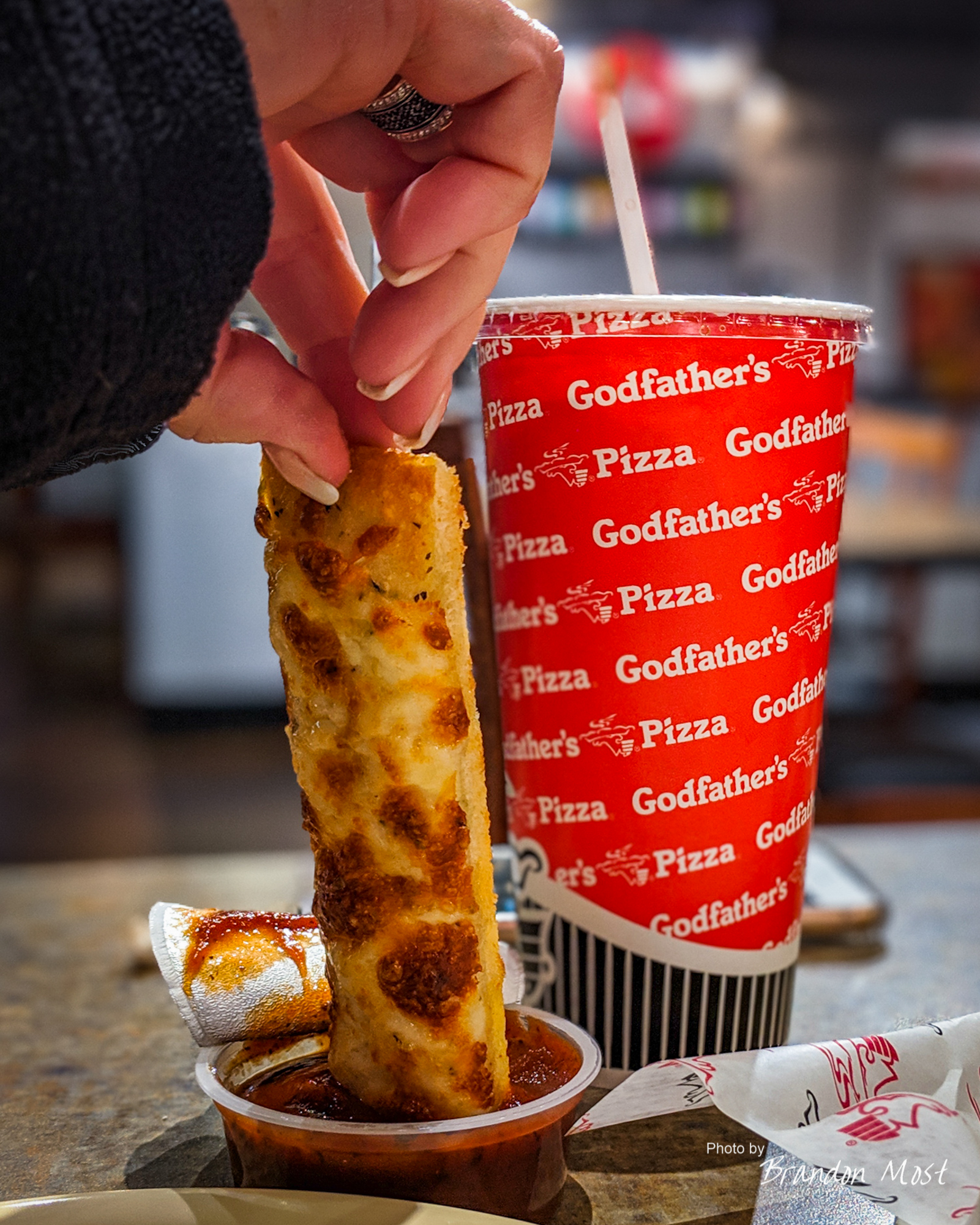
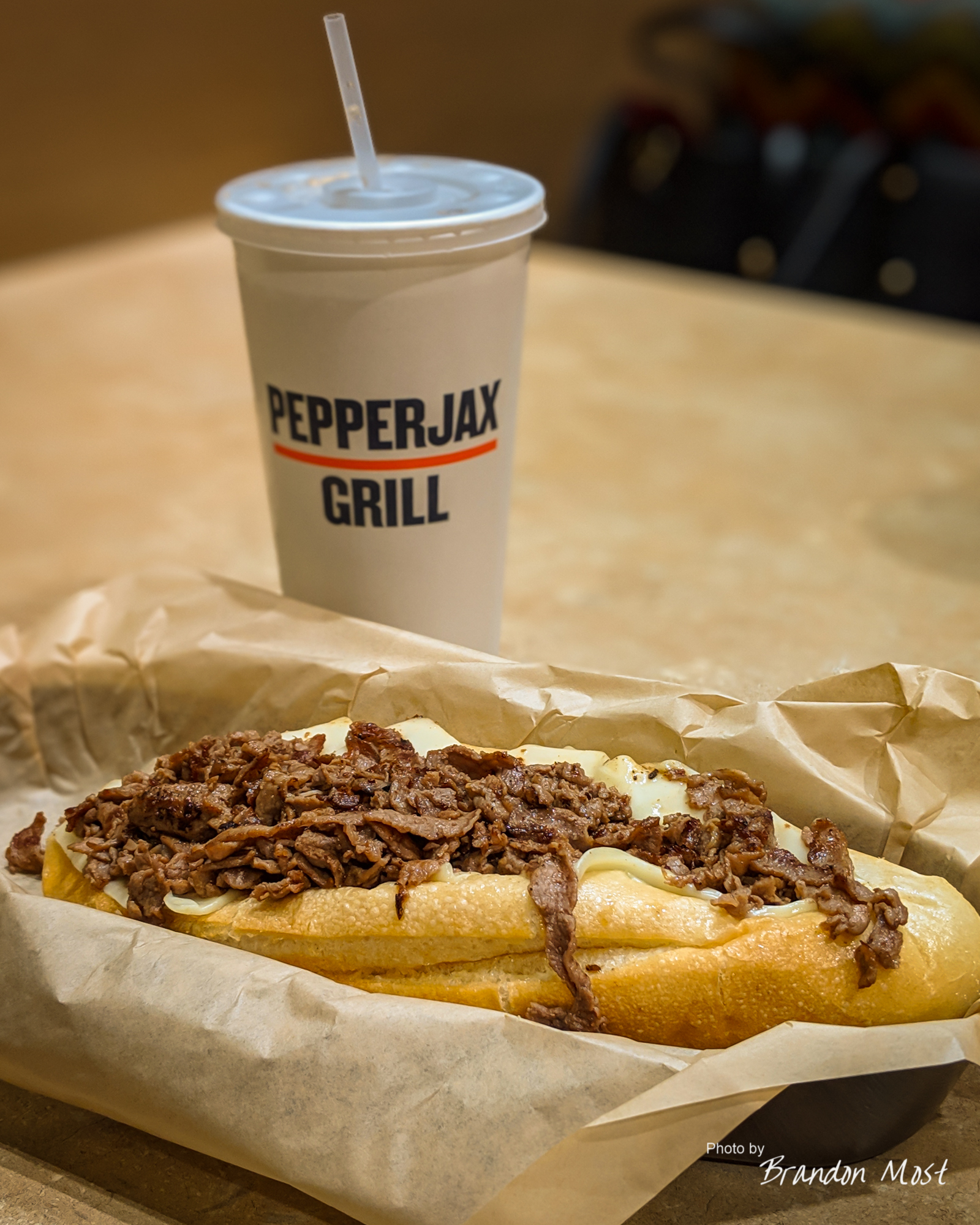
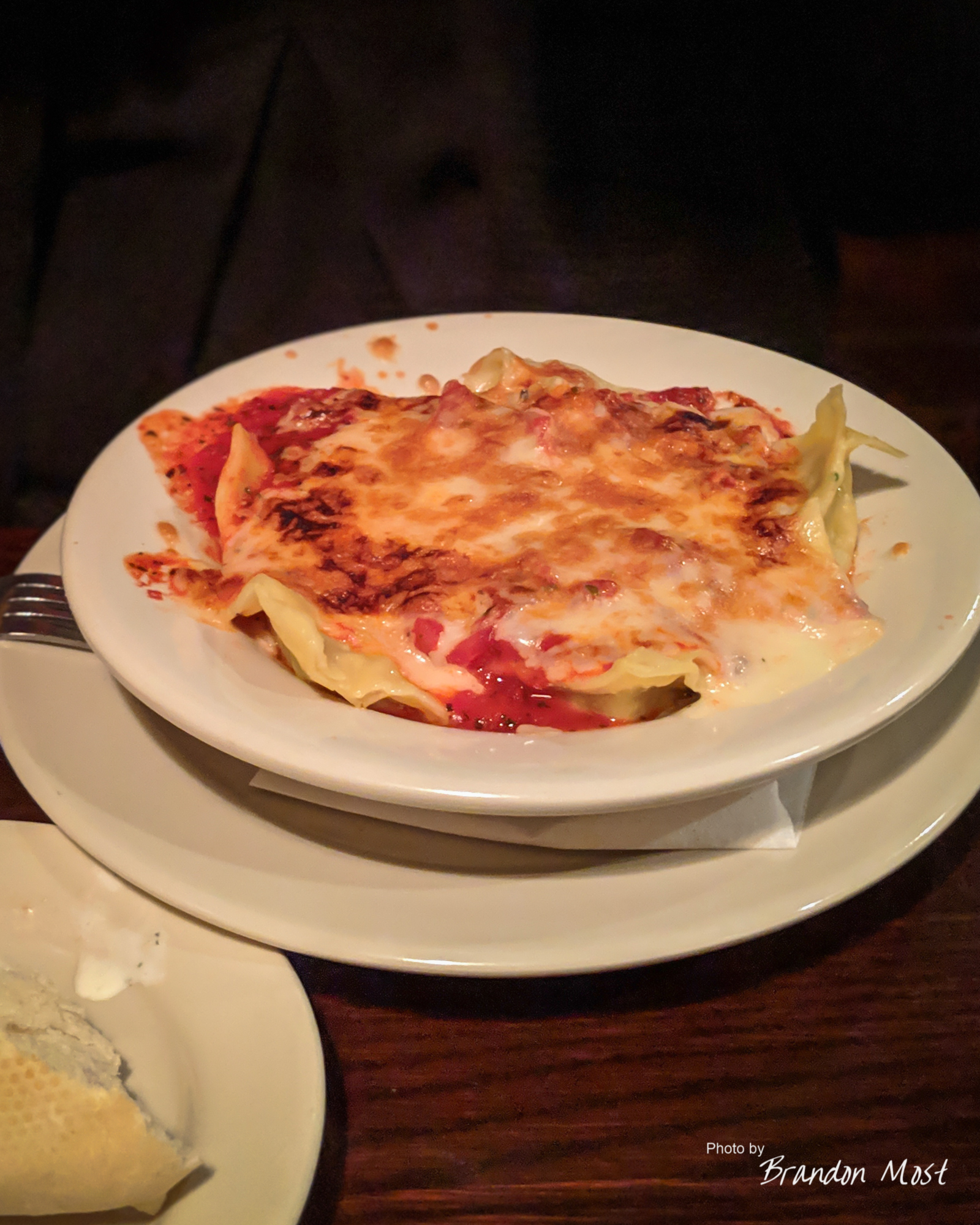
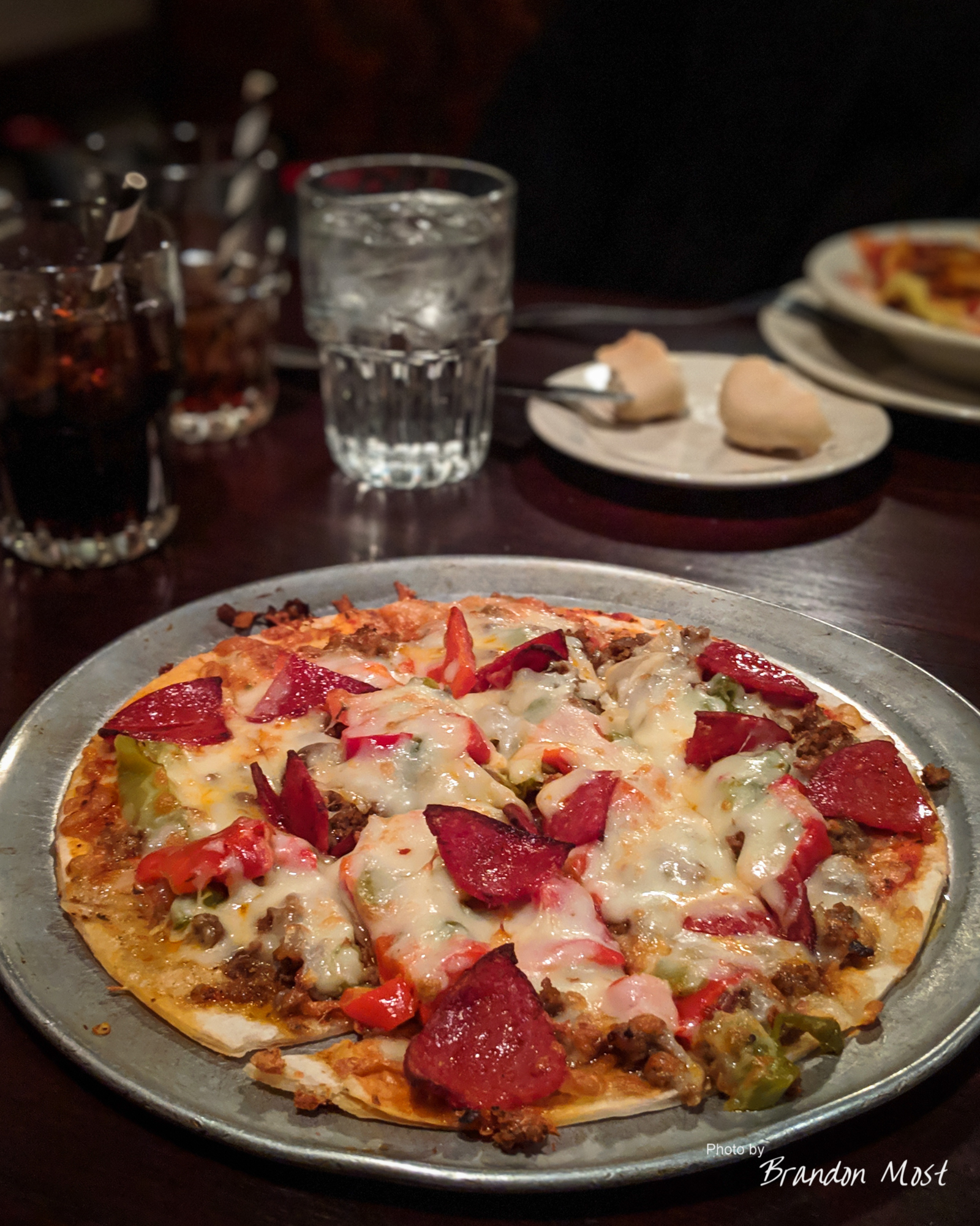
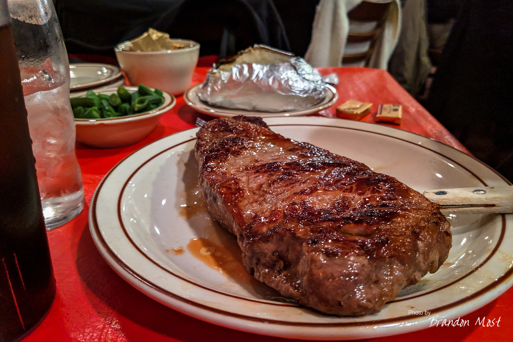
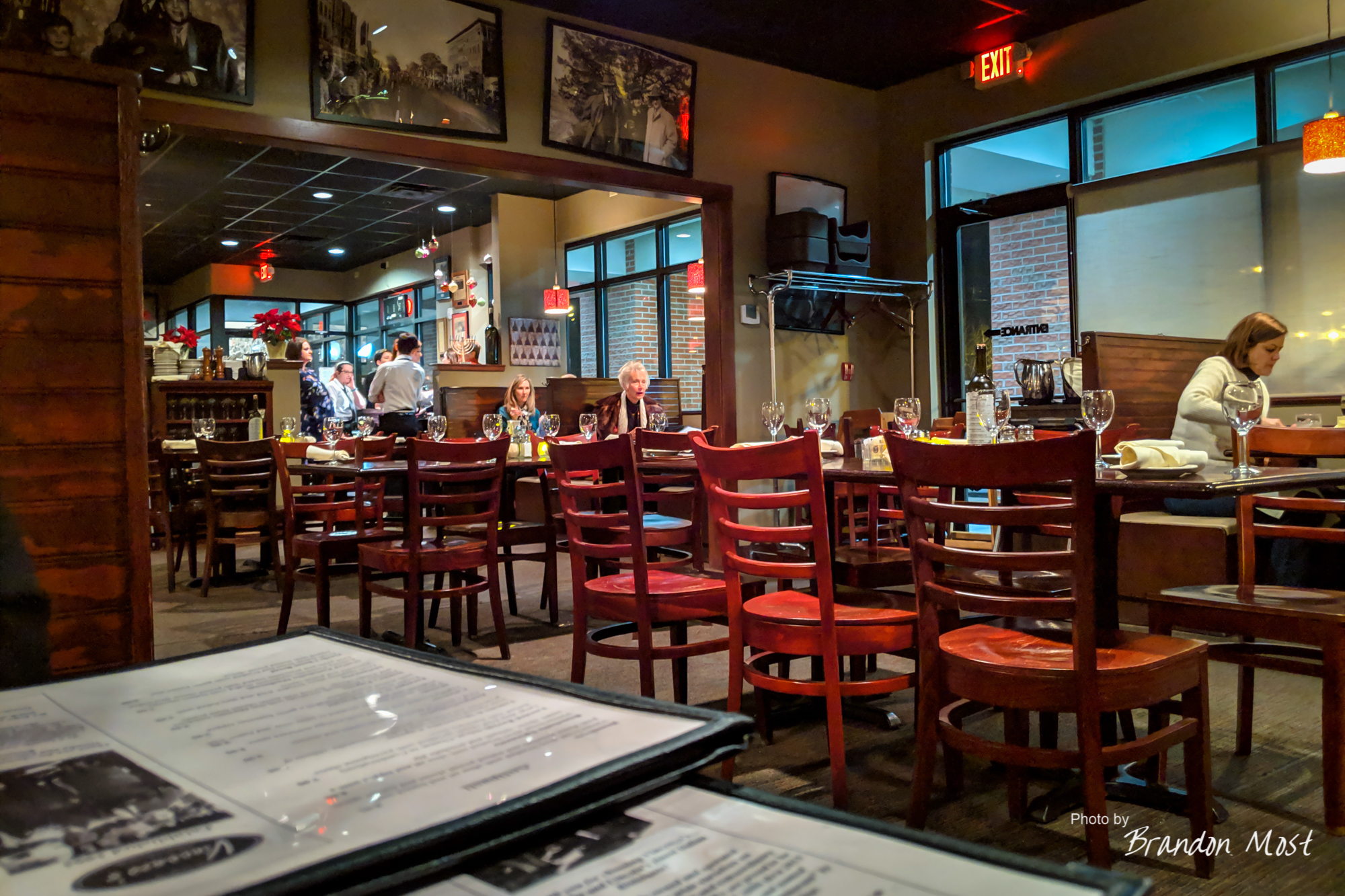
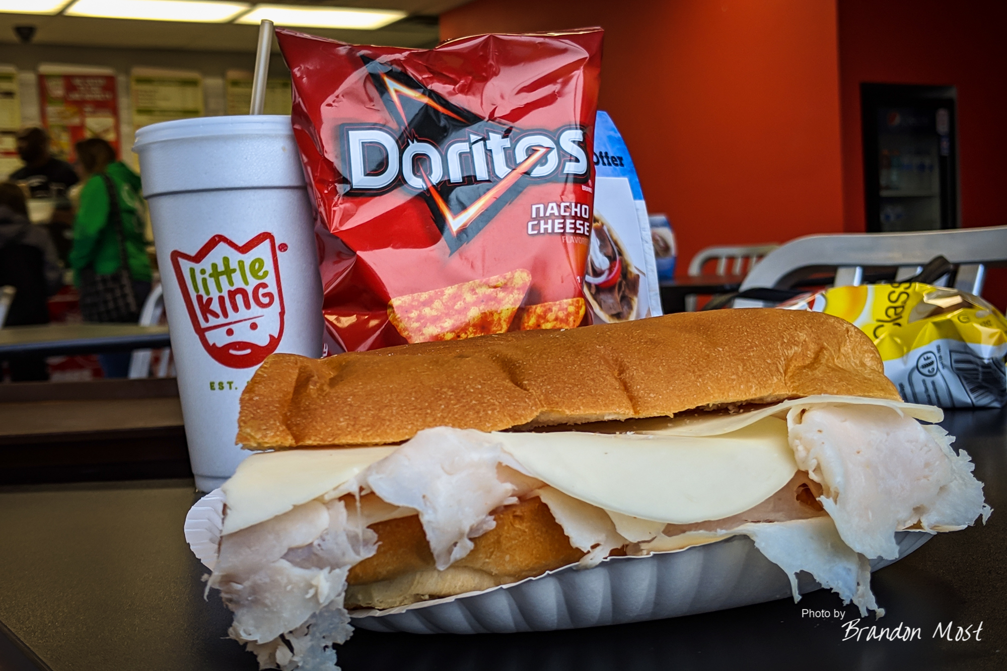
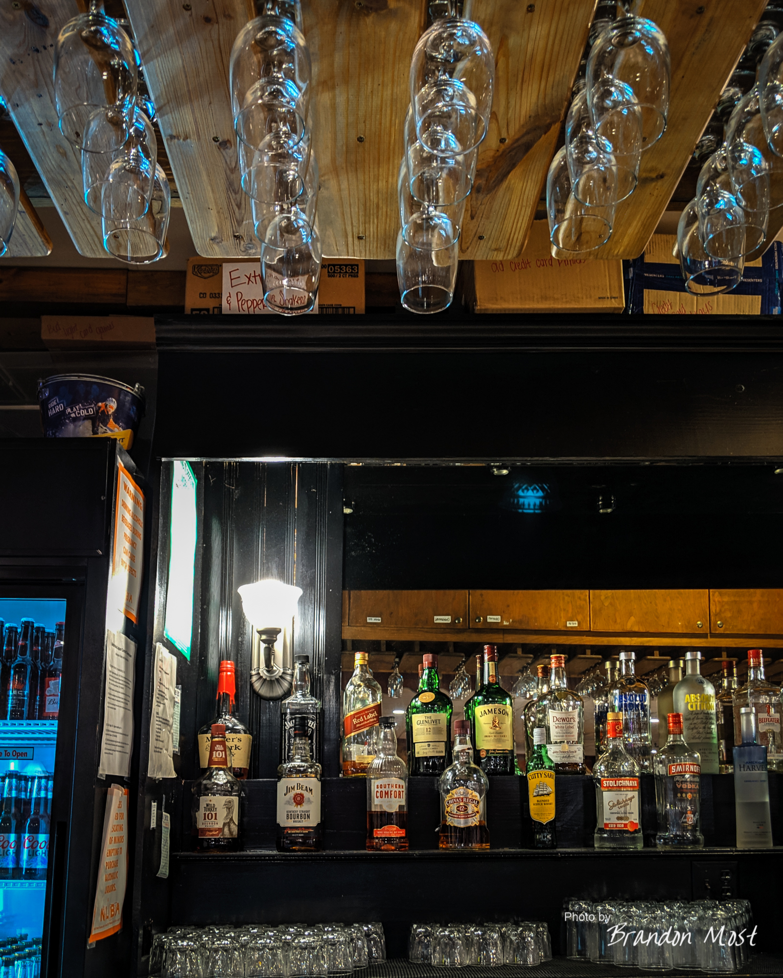
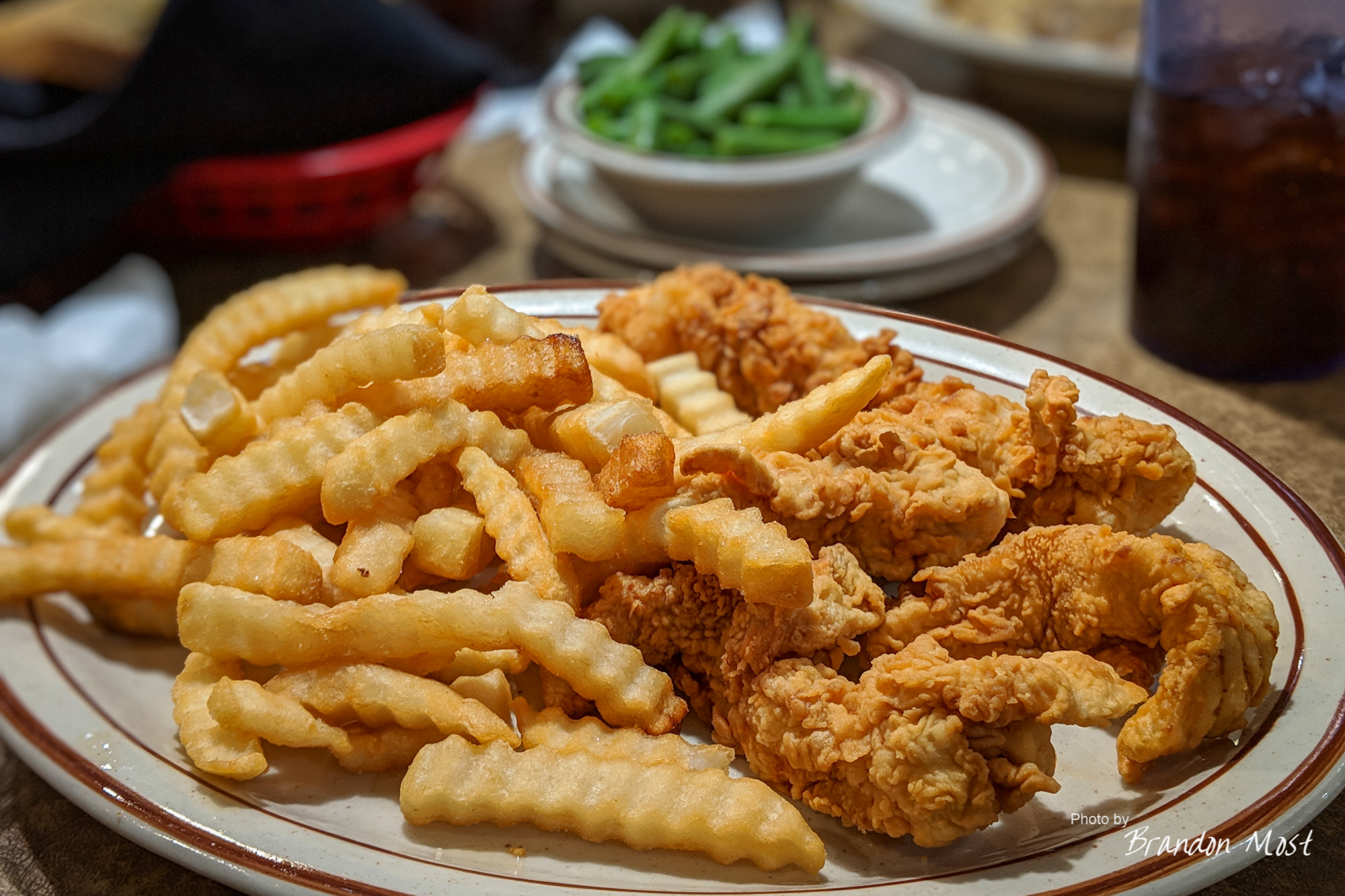
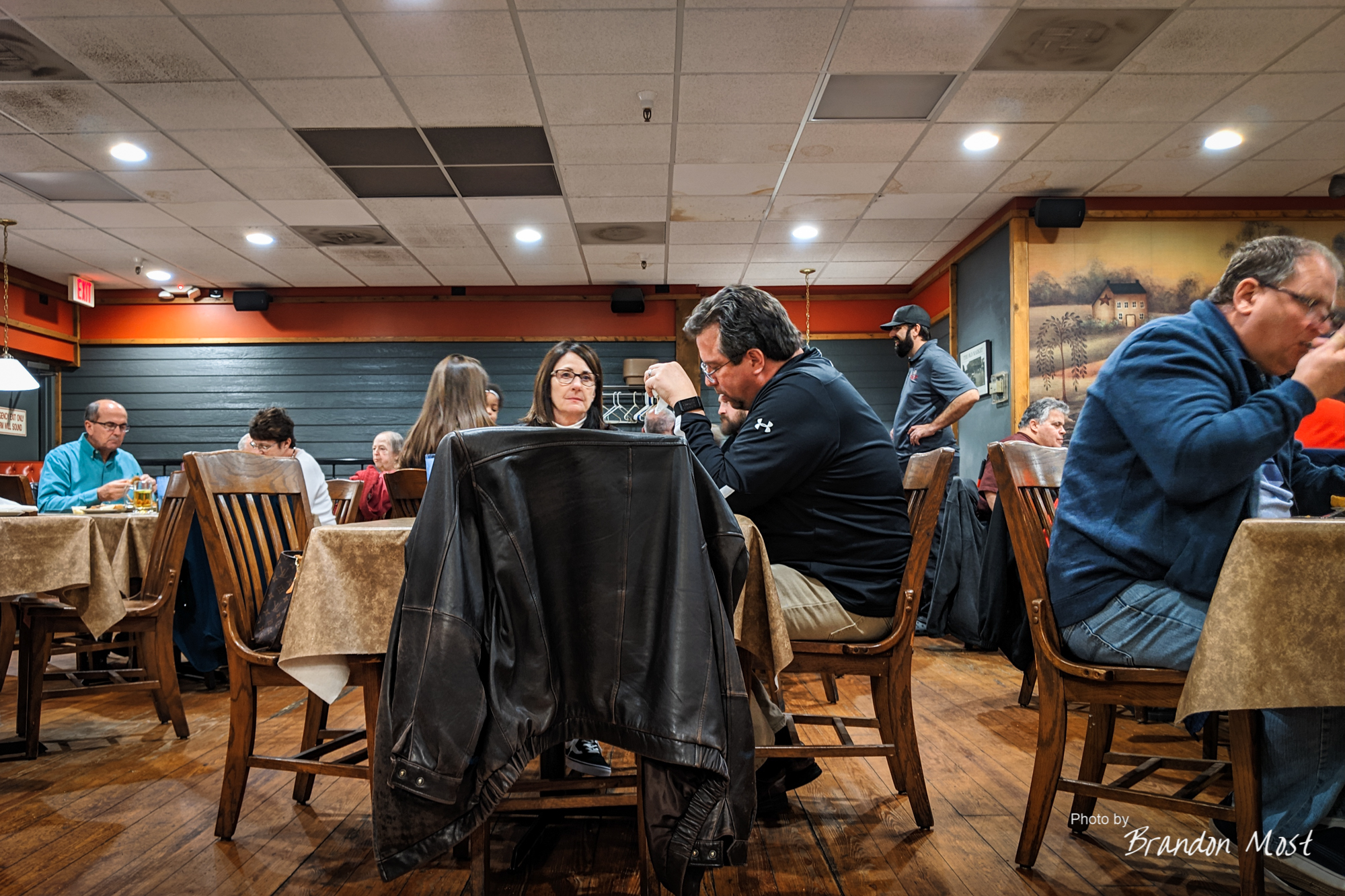
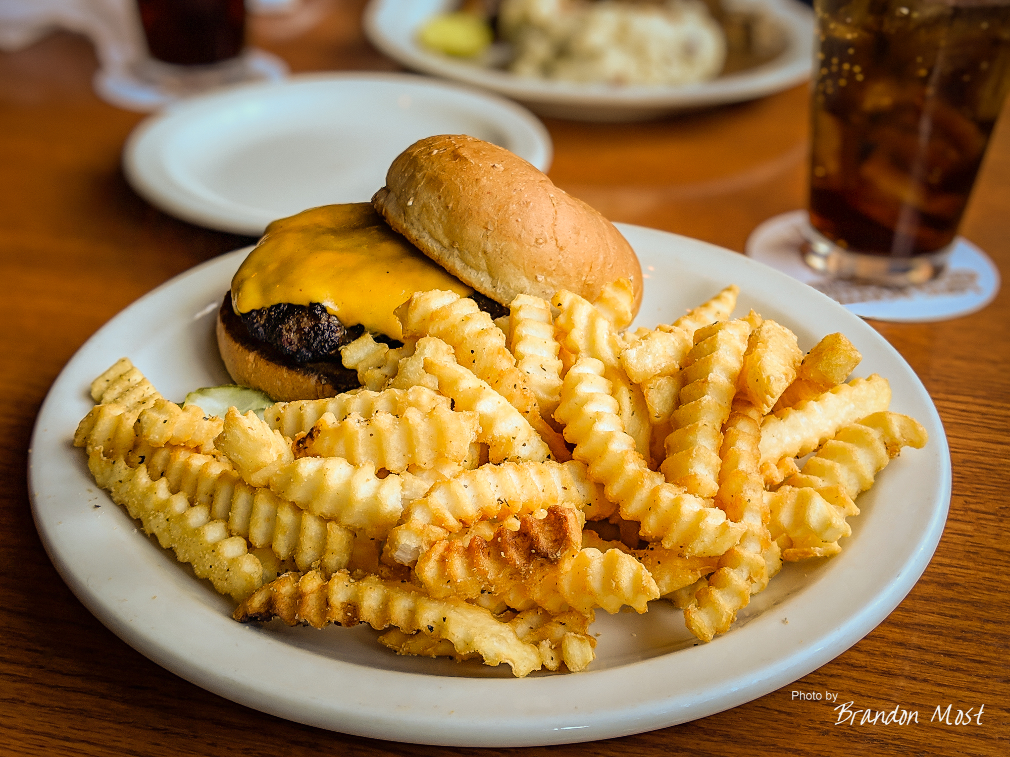
The Food:

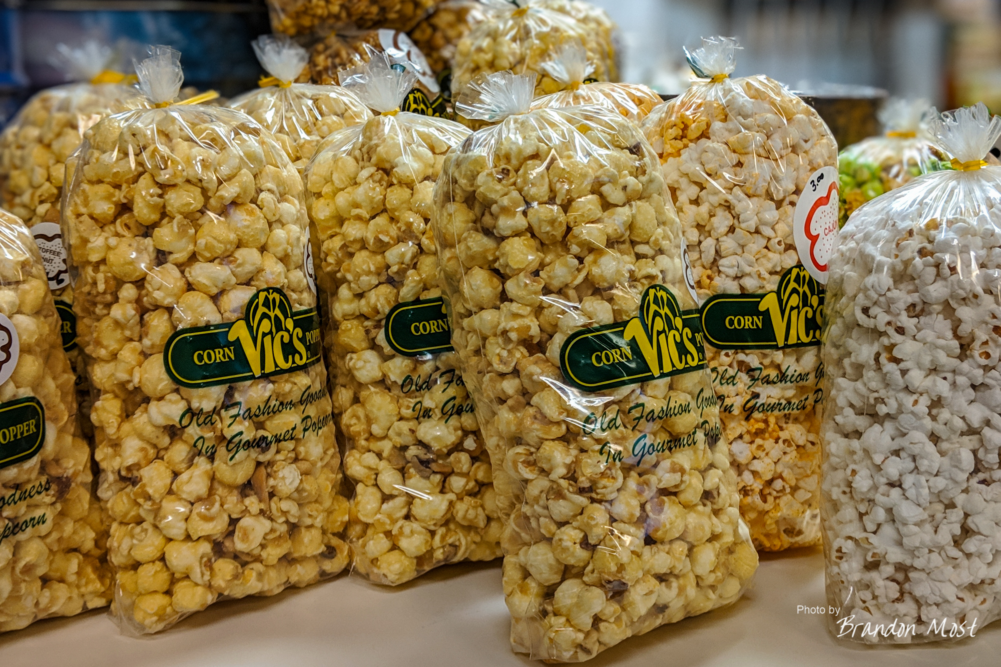

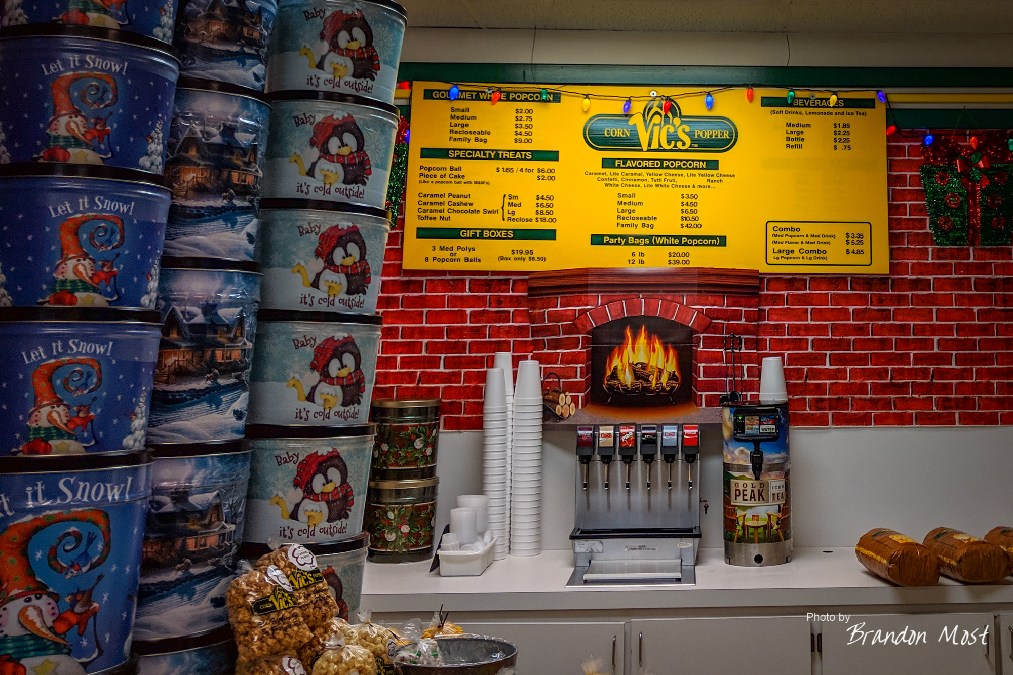
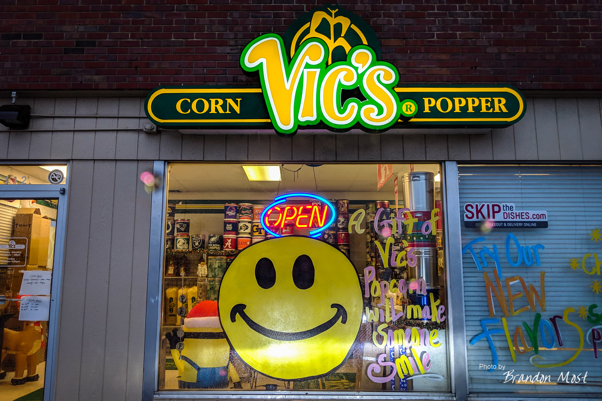


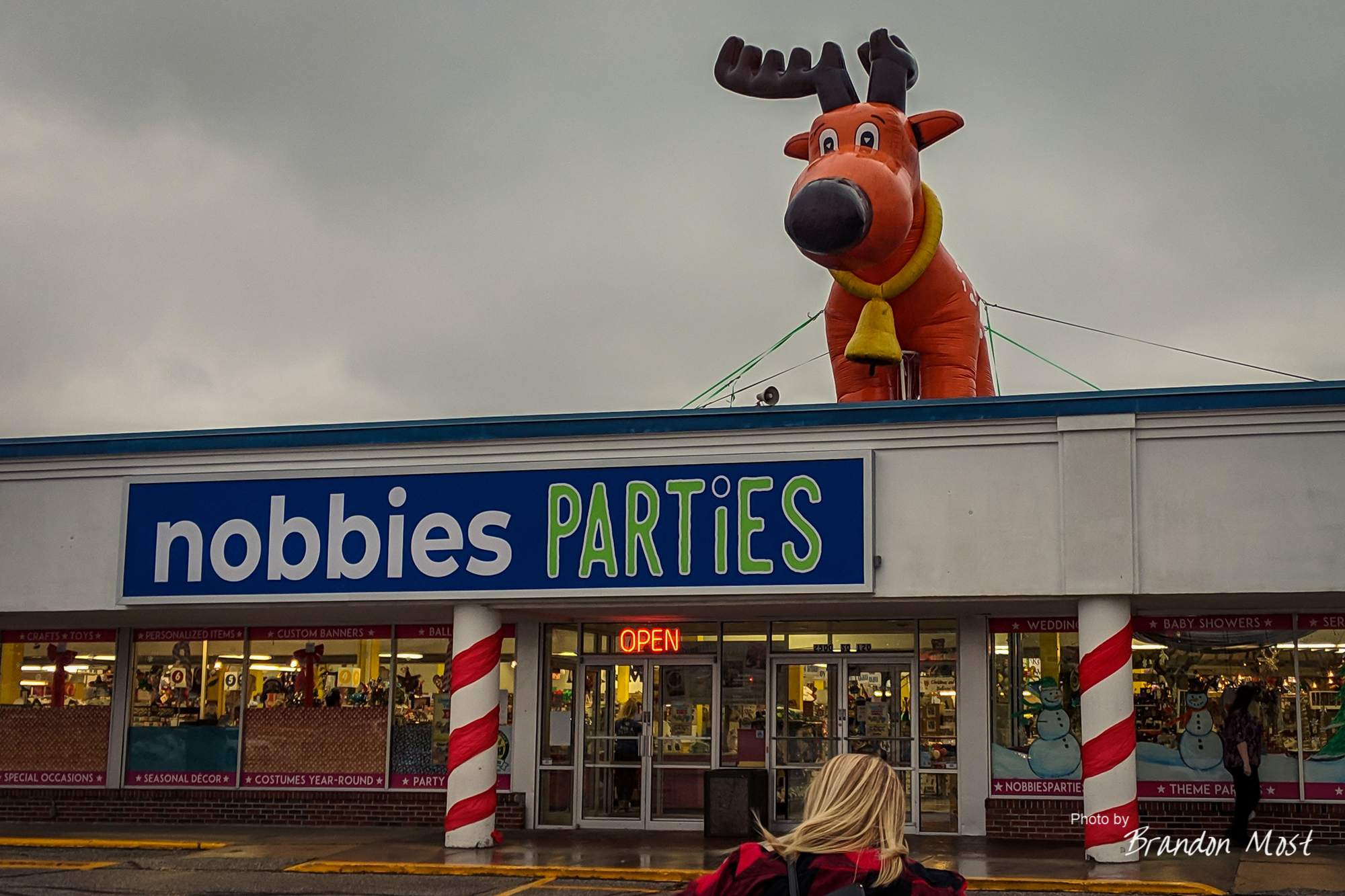
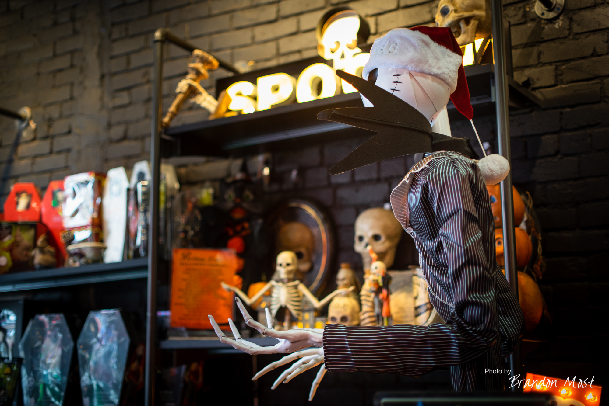
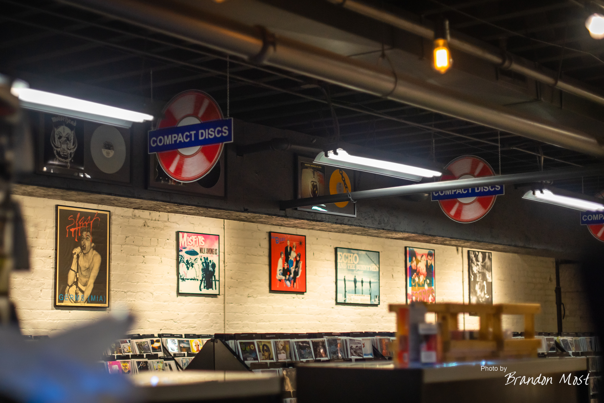
The Shopping:
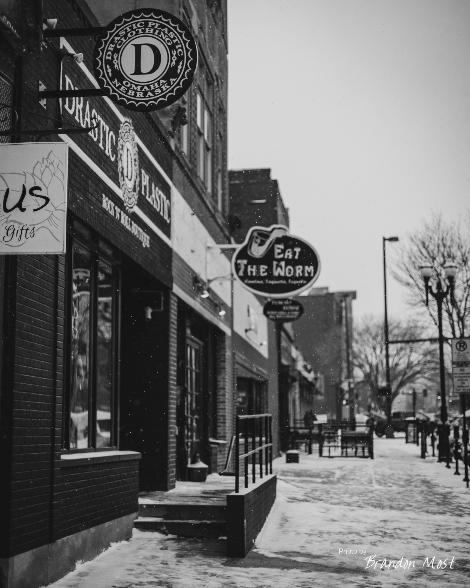


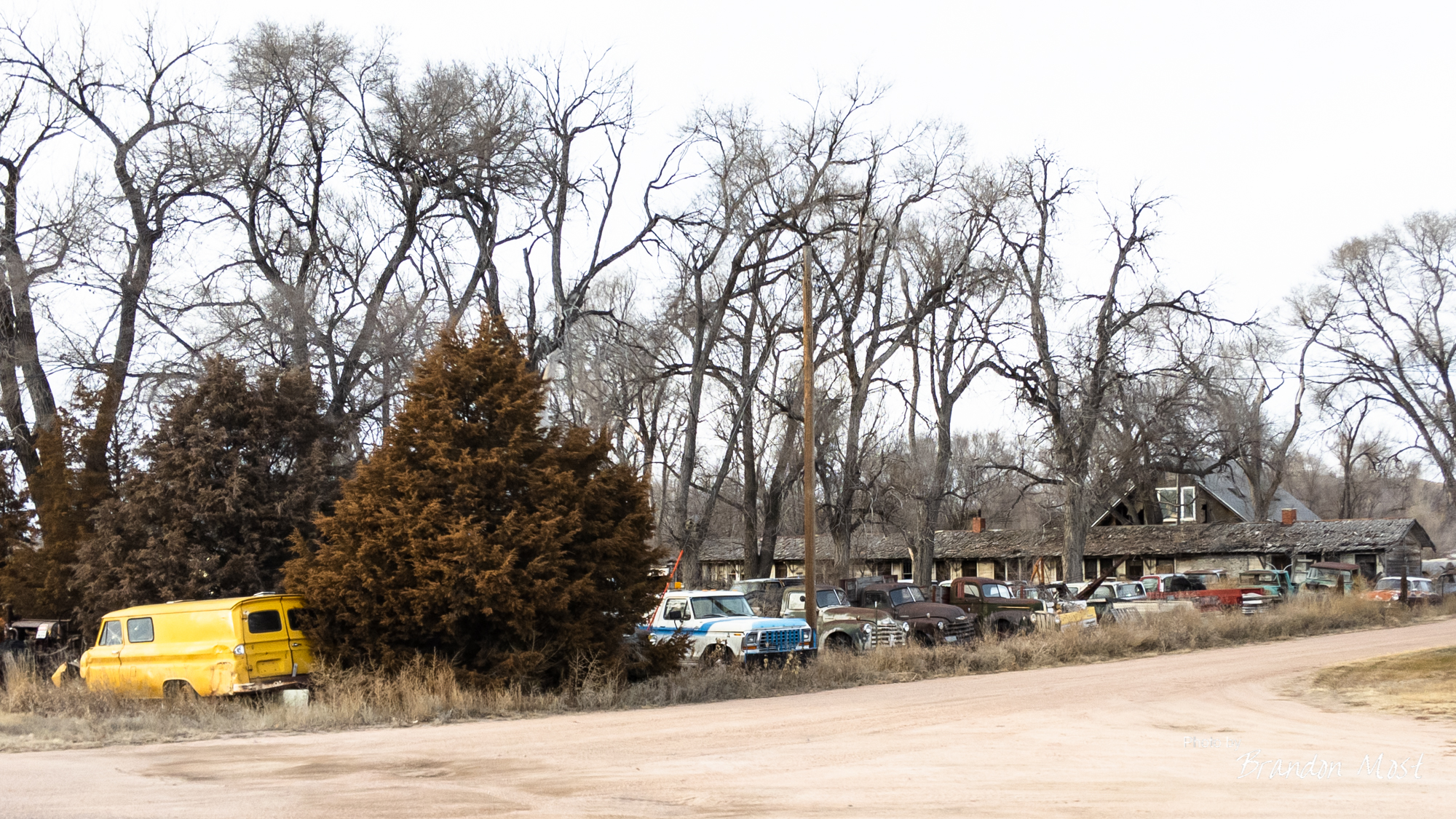
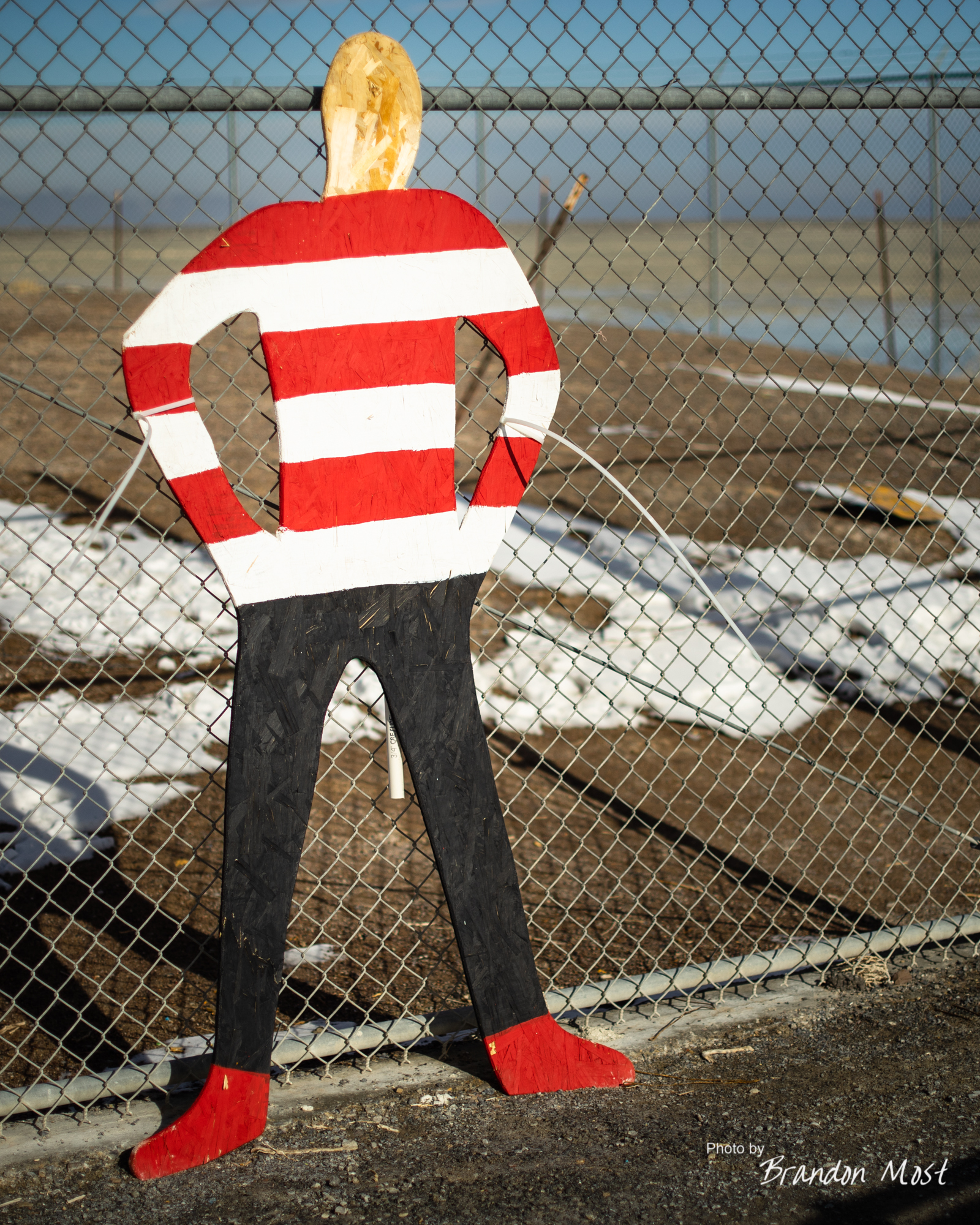
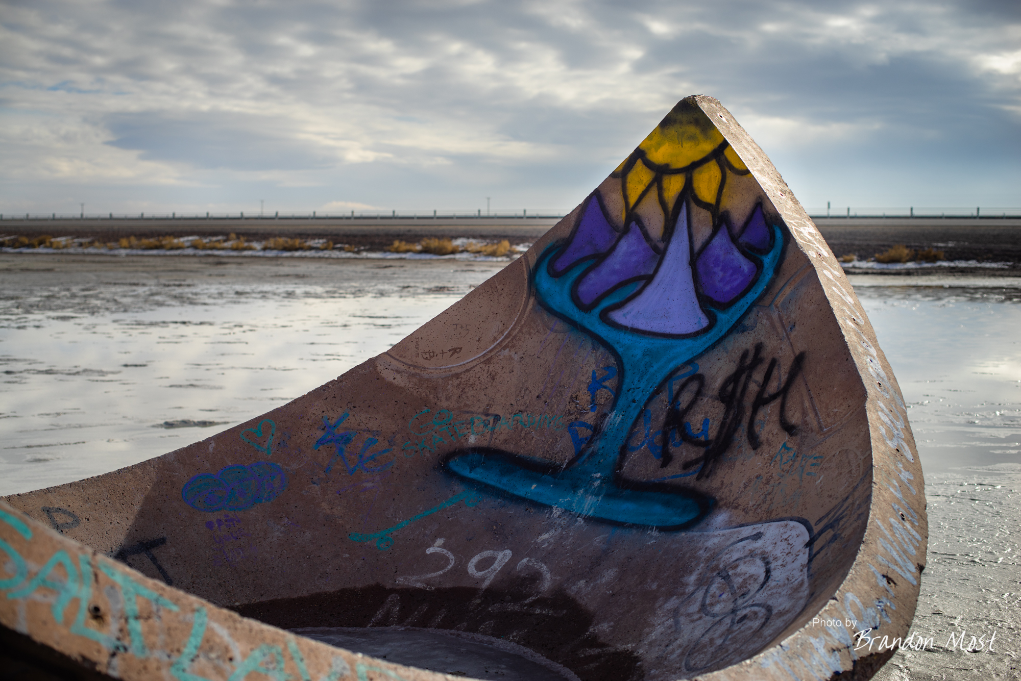
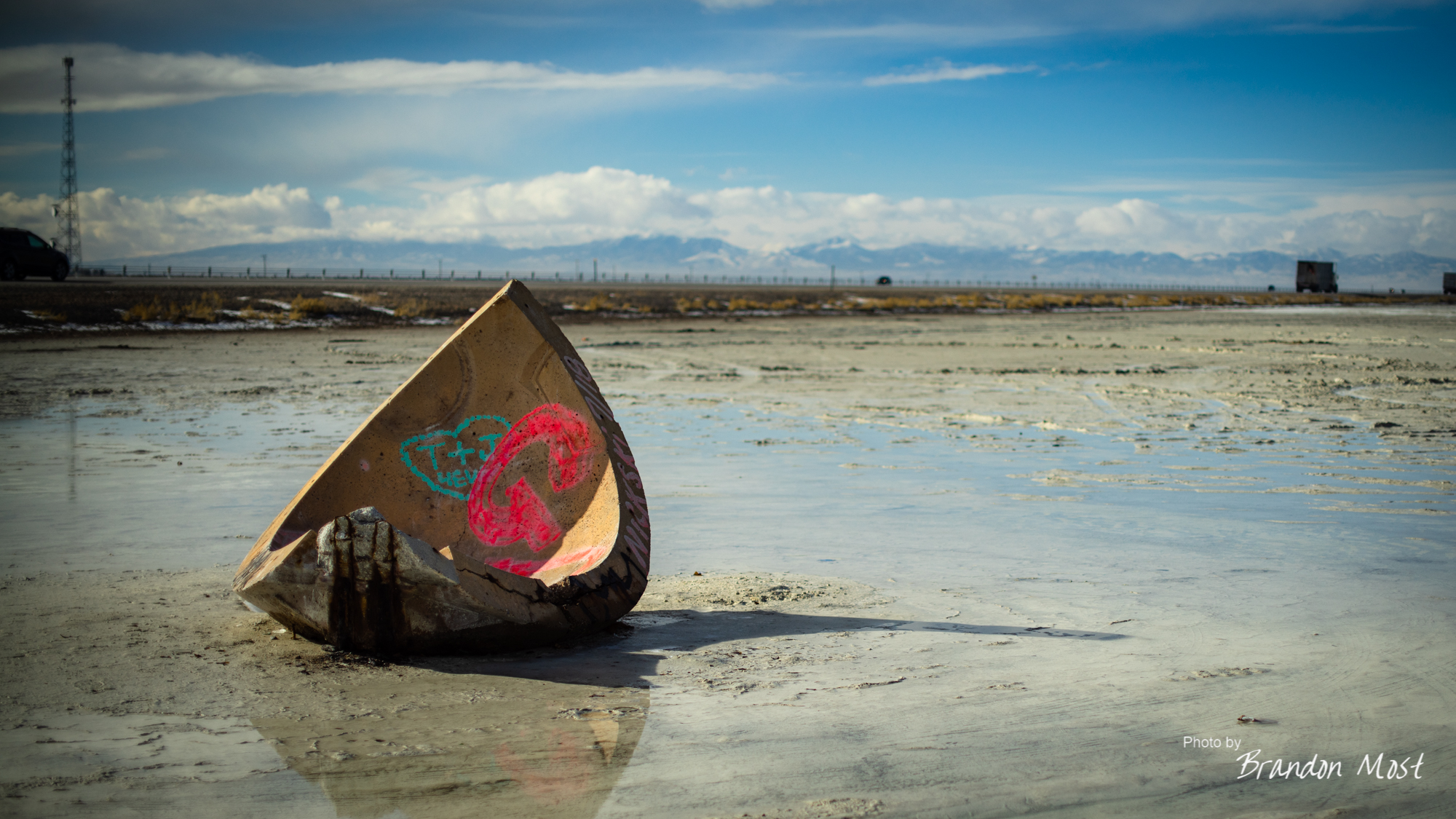
The Scenery:


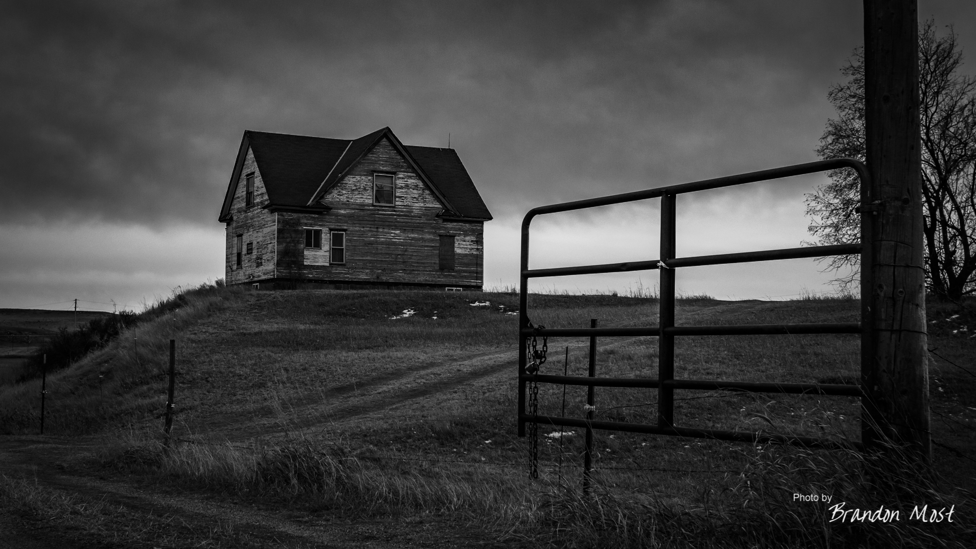
The Ugly:


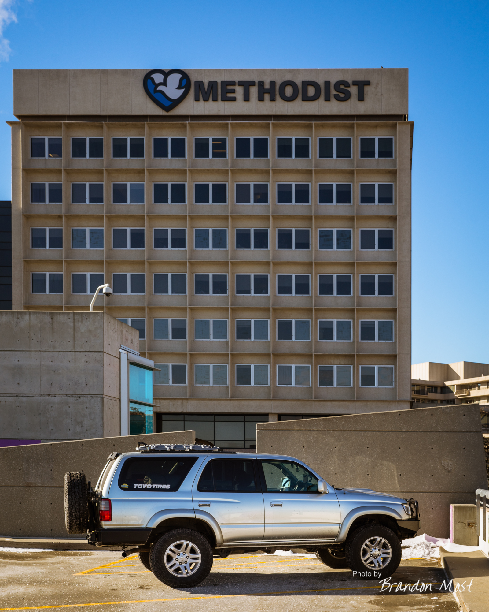
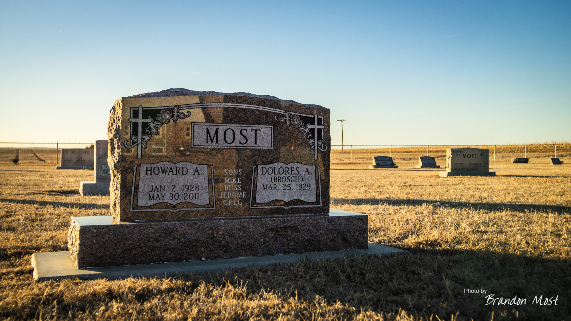
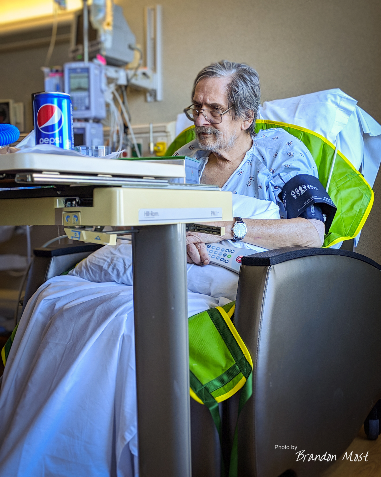
The Hospital:


Wednesday January 2nd 2019 Day 15:


Time to head home. We managed to get out of the hotel around 9AM, and got everything fit back into the 4Runner, including the stuff we picked up in Omaha. We made a couple of stops to restock our supplies, and actually got out of town just after lunch.


We made a slight detour to stop by and share a sunset with Grandpa on his birthday.
It was around this time that we started hearing that a small infection in my dads right leg may not be an infection.
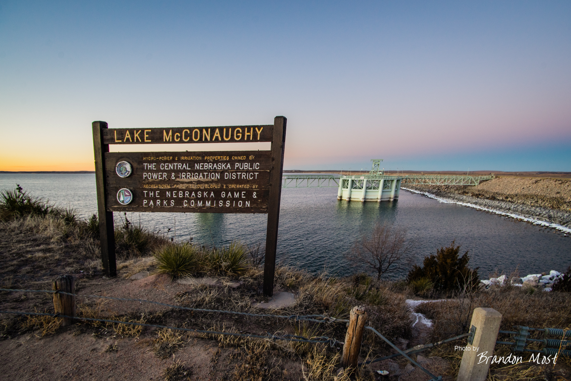


Our next stop was just down the road in Ogallala and then out to Lake McConaughy where we spent a bit of time snapping some photos. We didn’t want to put any more distance between us and Omaha until we knew what exactly was going on.
Eventually we headed out of town and made it almost to the I80/I76 split before we got a message with a few more details. It turns out the infection wasn’t an infection at all. It was actually blood from a leaking vein, and they were planning an operation early the next day.

We turned around and headed back to Omaha arriving in town right around midnight. We’ll just call this a test run.
Thursday January 3rd and Friday January 4th 2018 Day 16-17:


Back in the Big O. We spent pretty much the entire time at the hospital checking on pops after surgery number 3. While the immediate problems were stopped it wasn’t going to be a long term solution and he would have to decide if he wanted to undergo another round of vein replacement and re-arranging or gamble with the patch job, aneurysm, and infection.
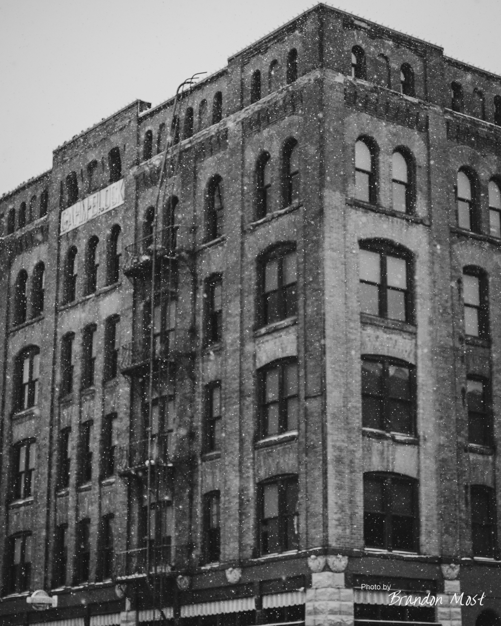
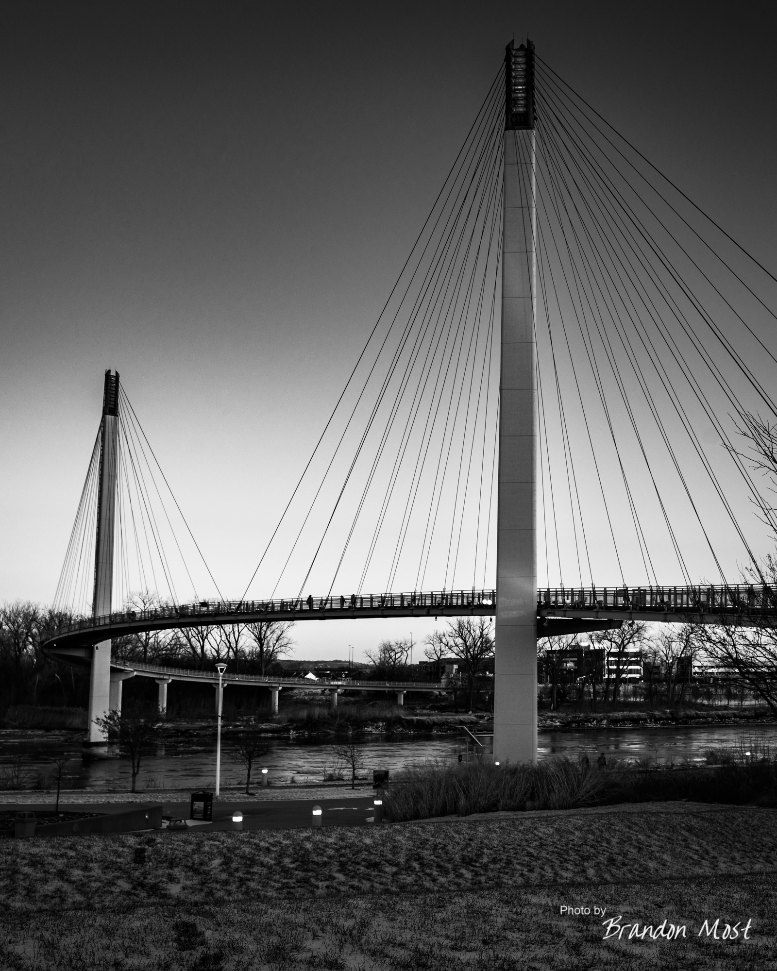
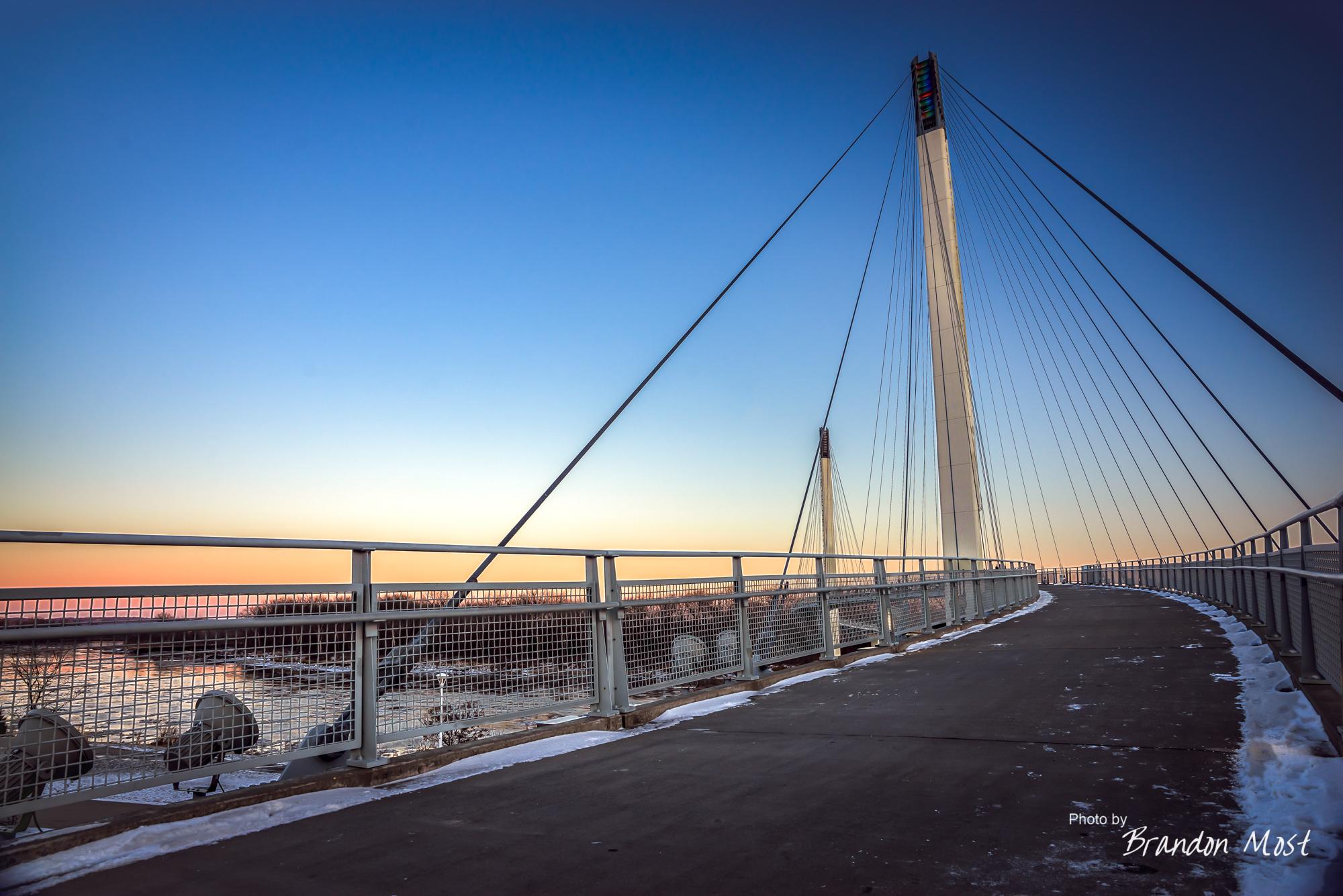
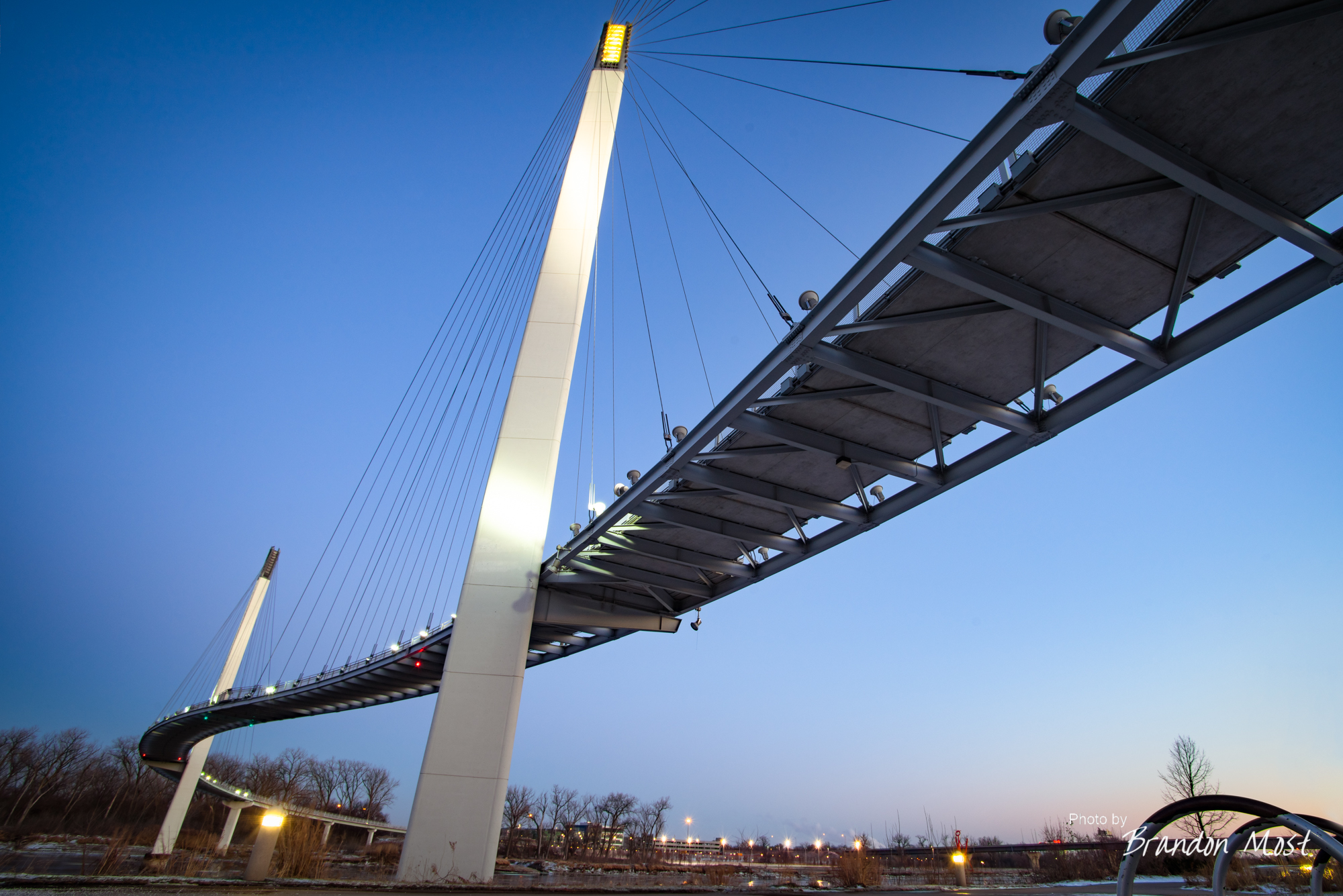
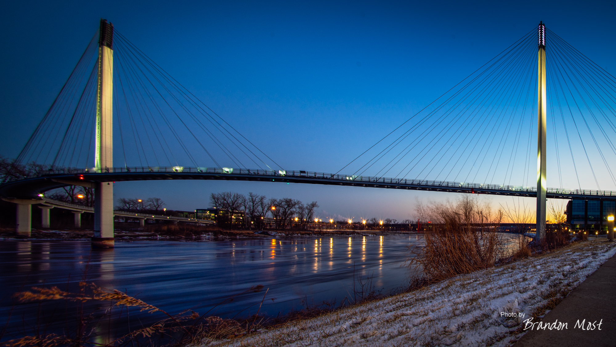
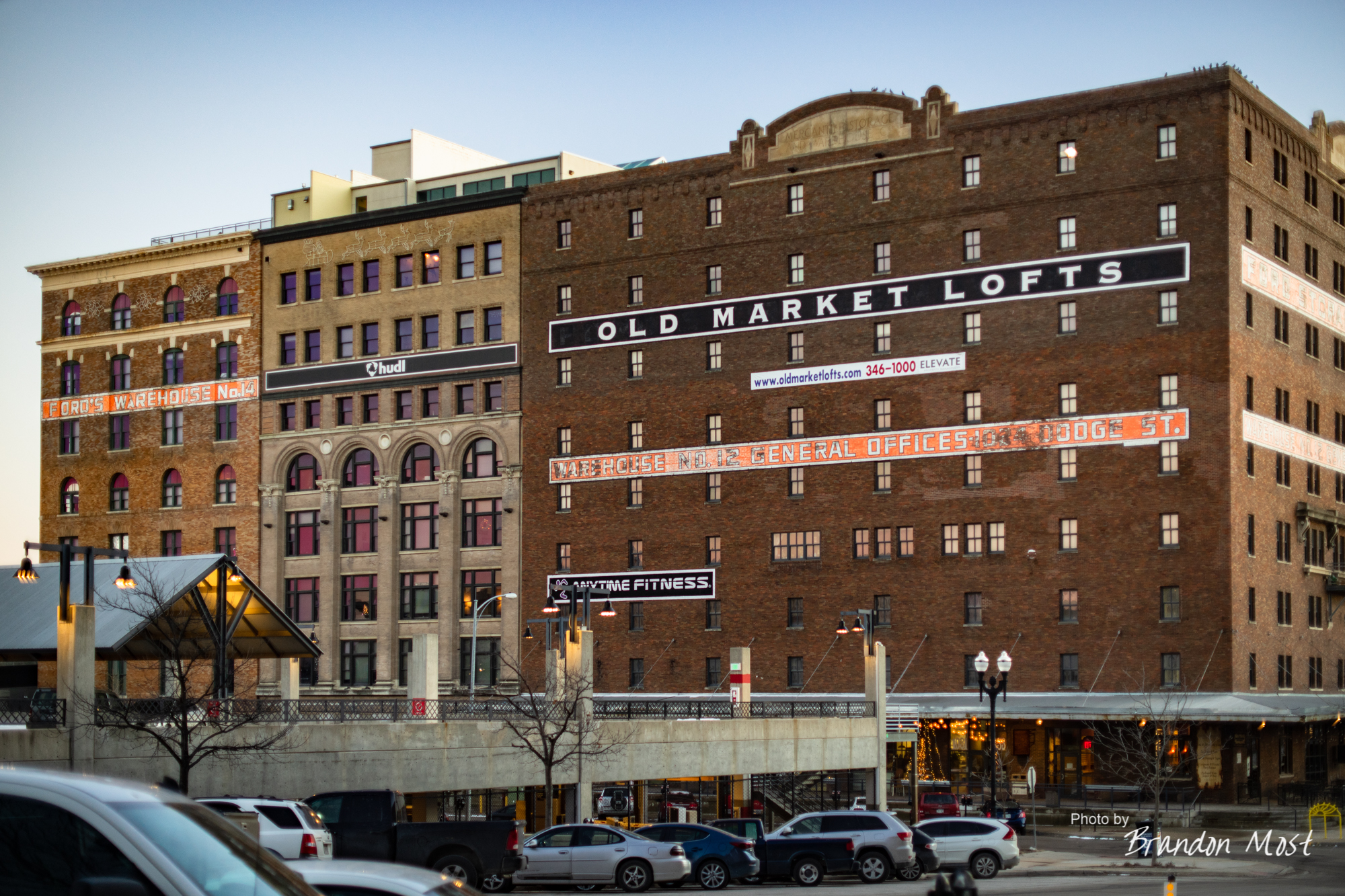
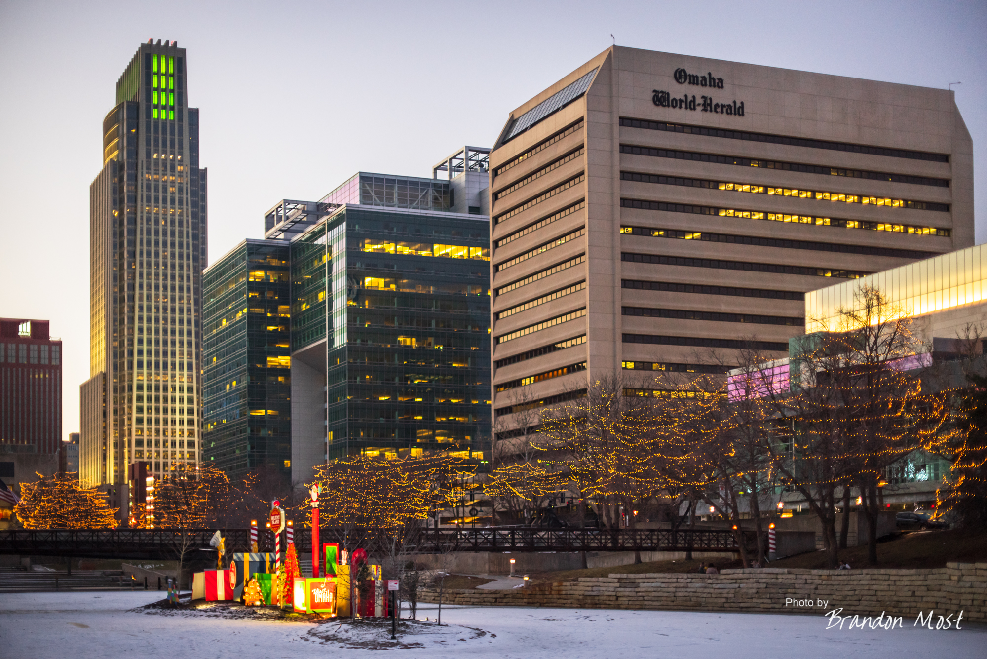
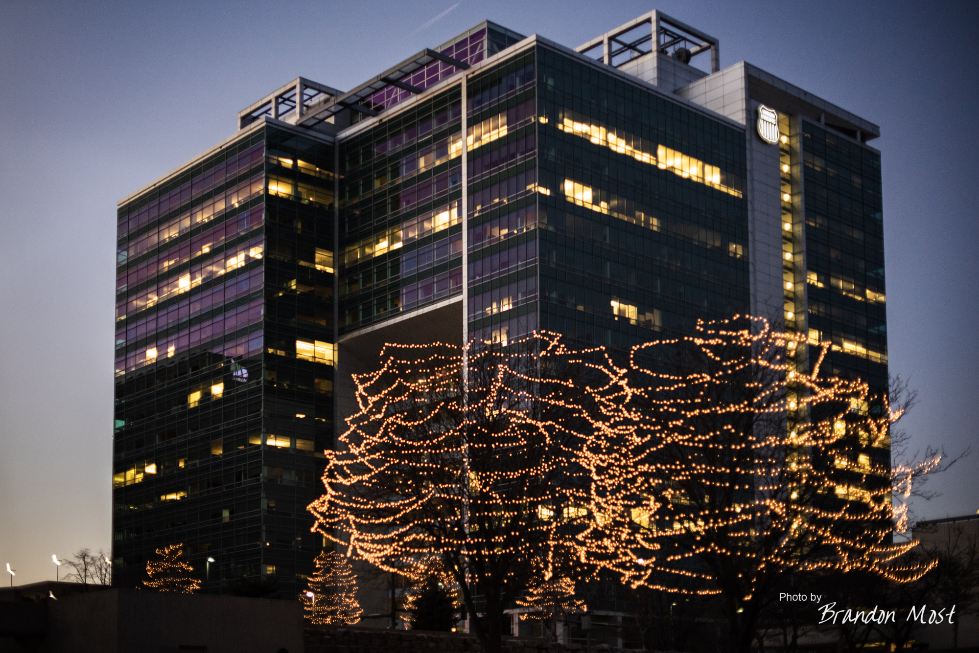
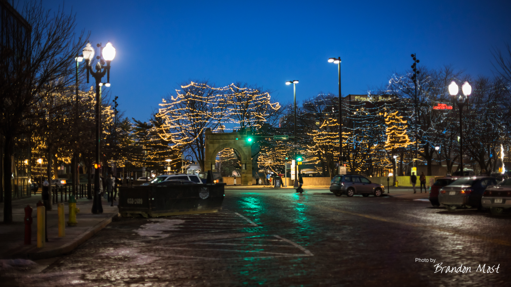
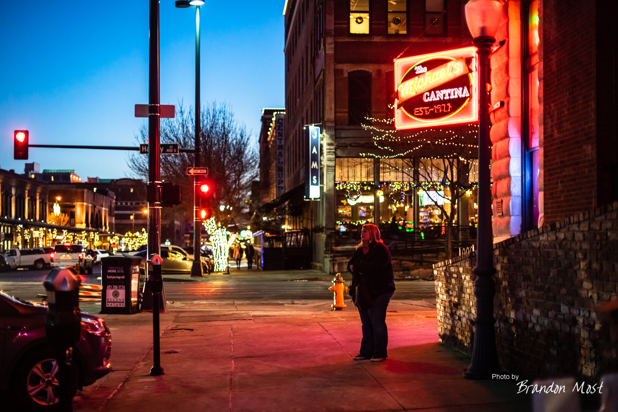
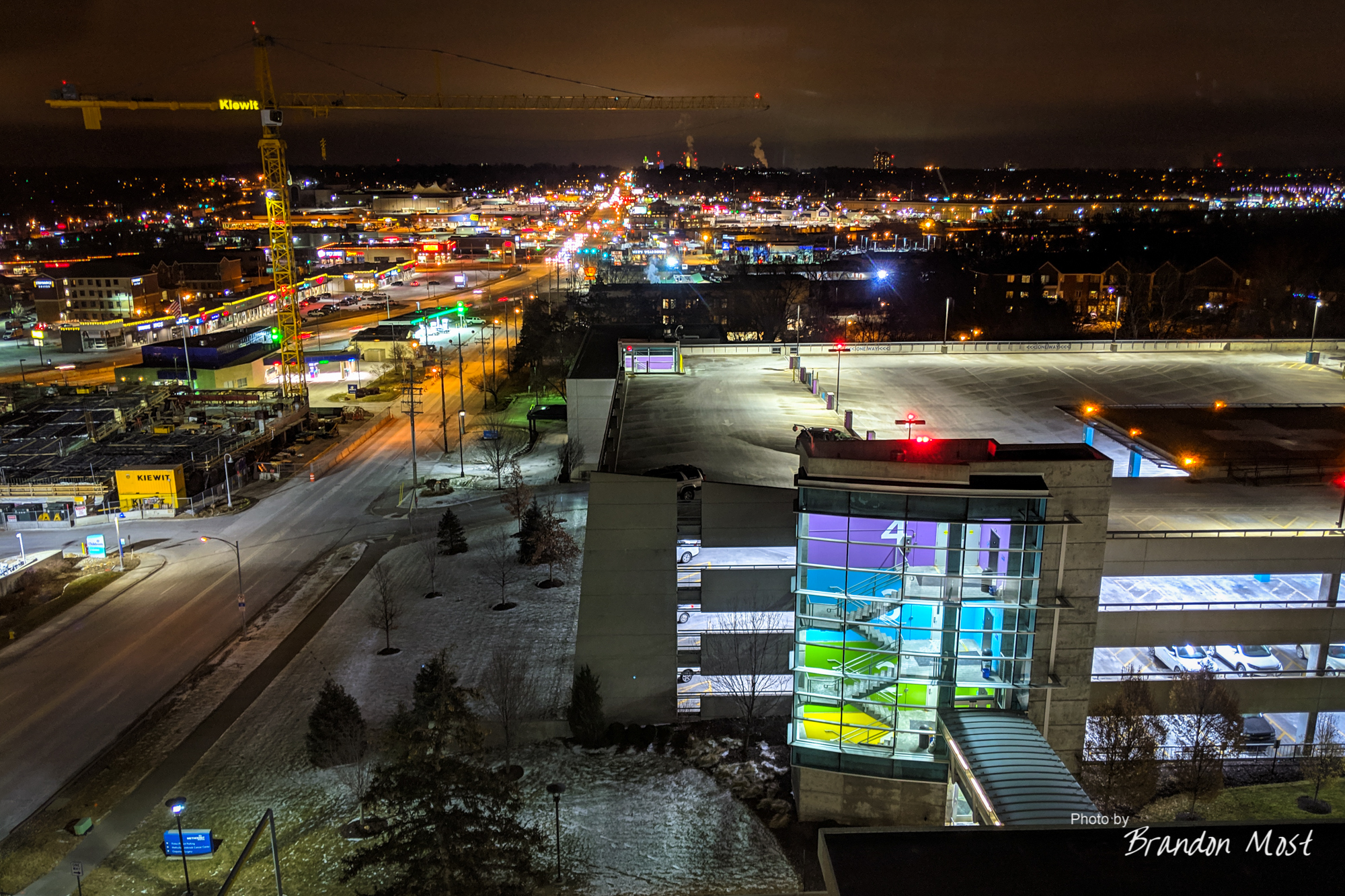
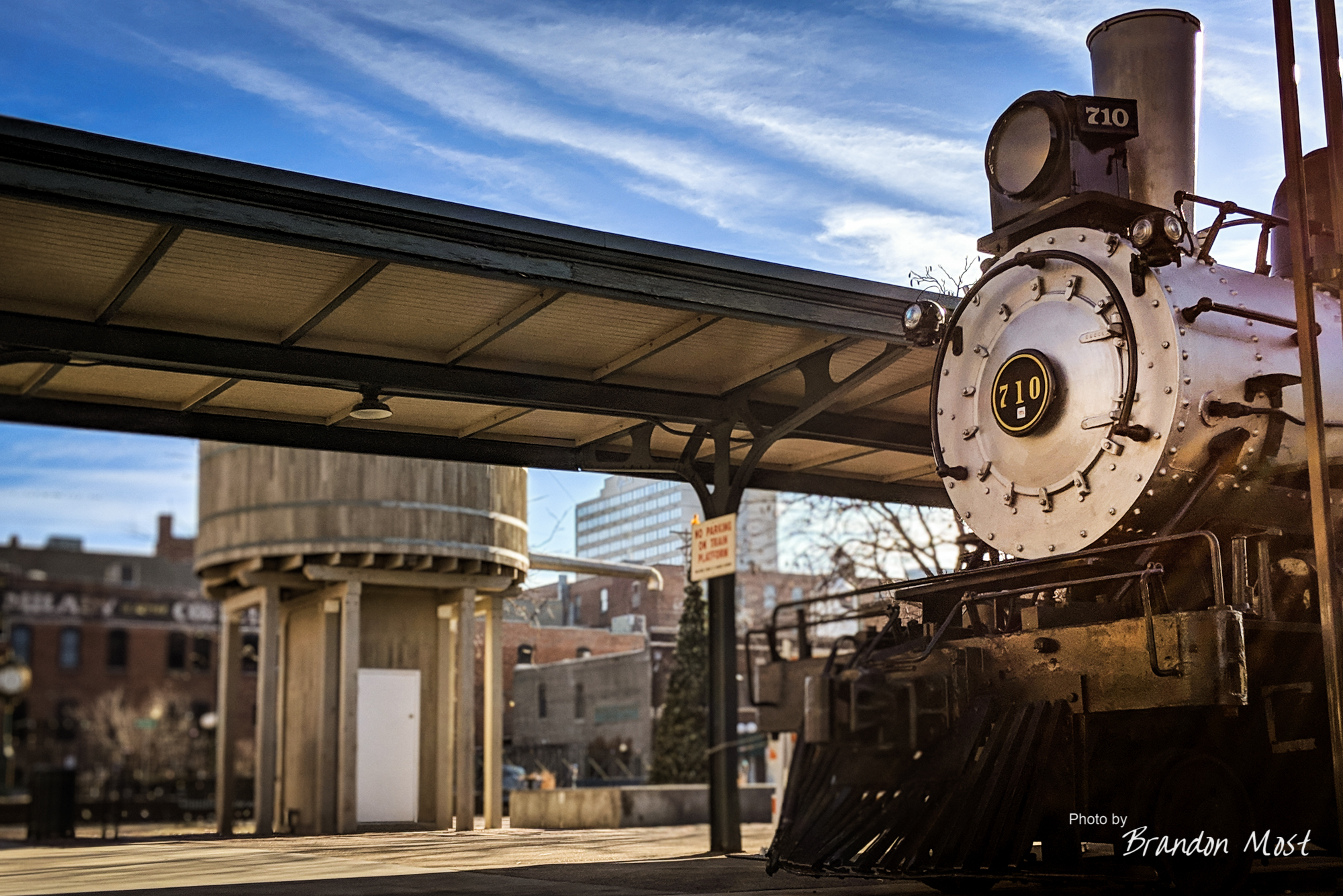
We did manage to stop by the “Mid Town” area on Friday around sunset to snap a few photos.
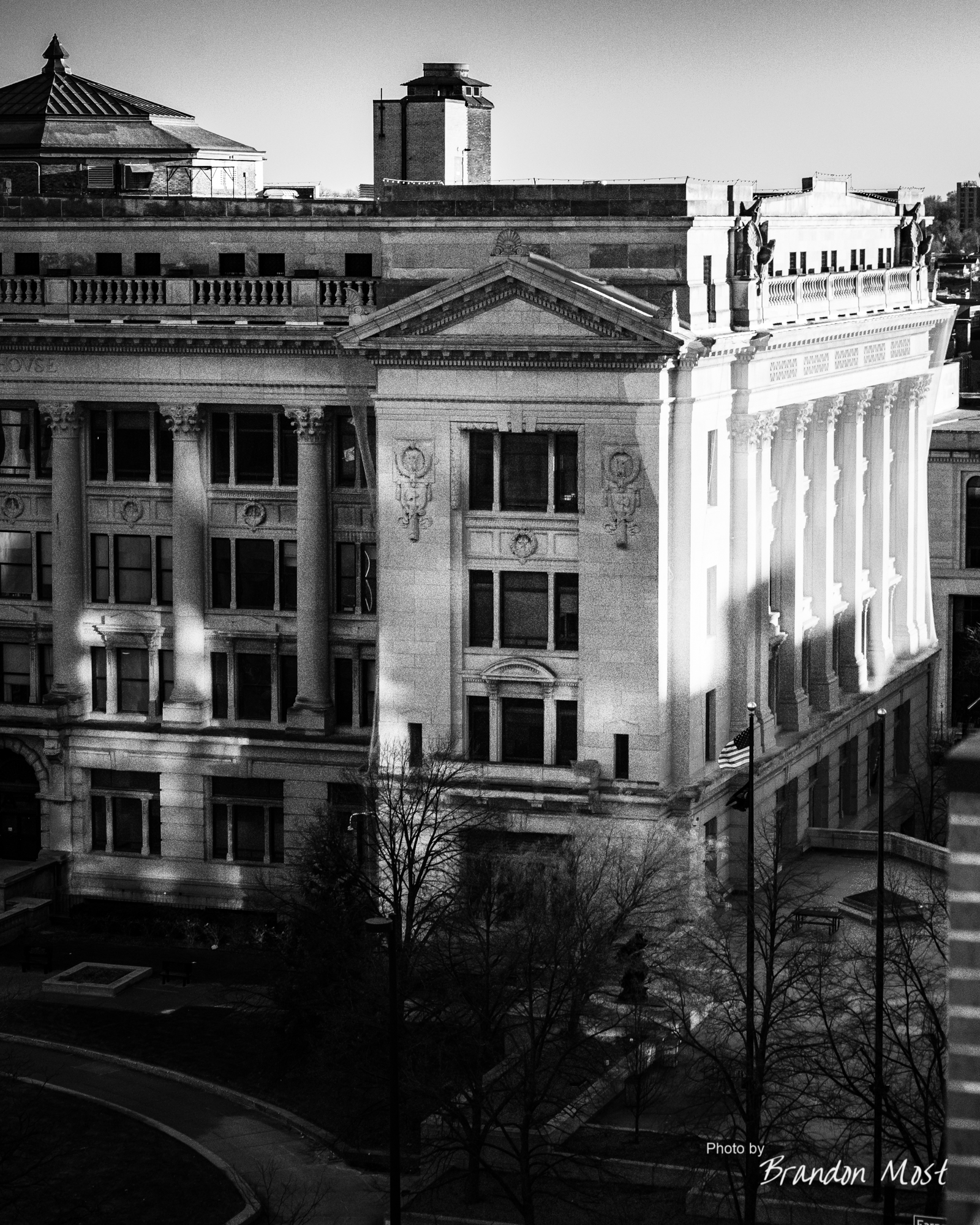
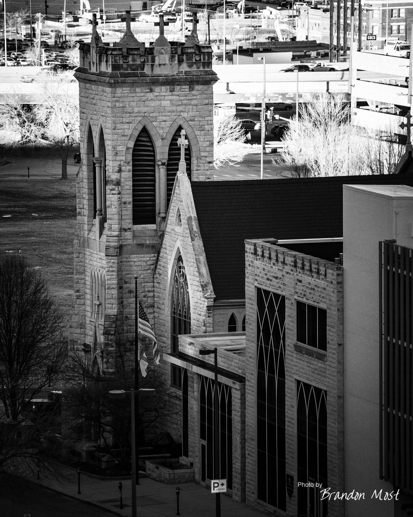
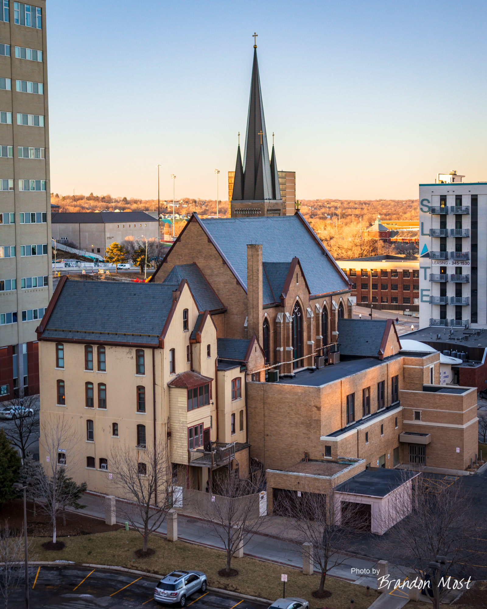


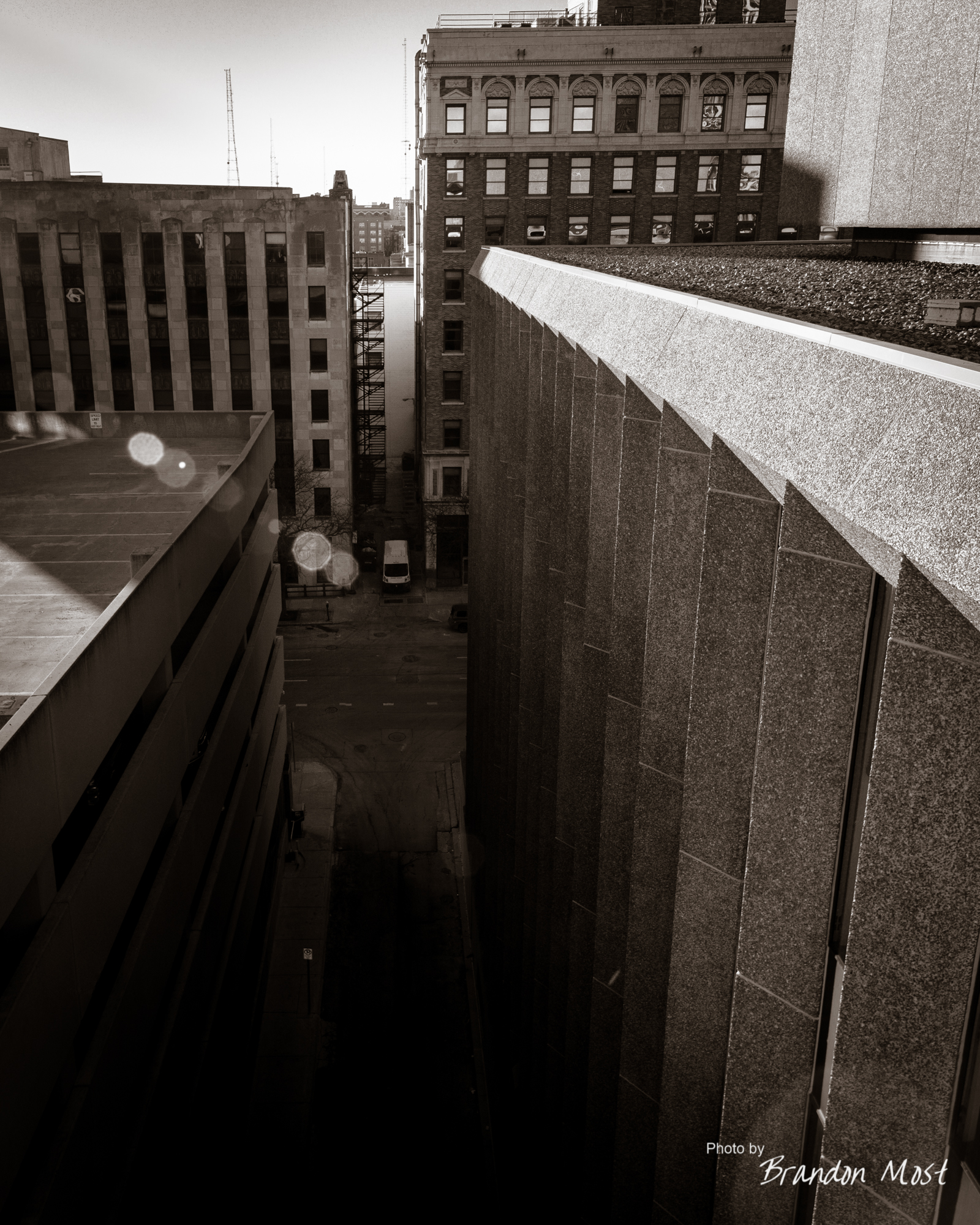


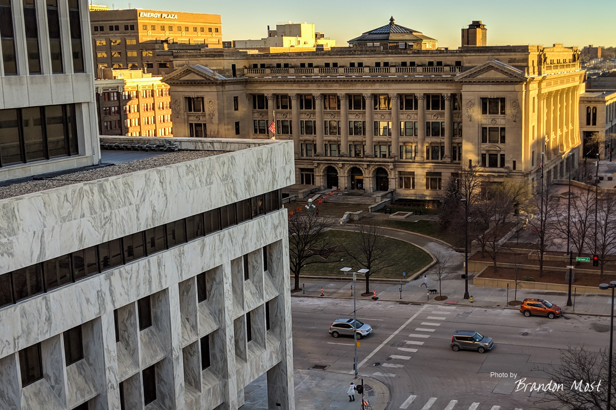
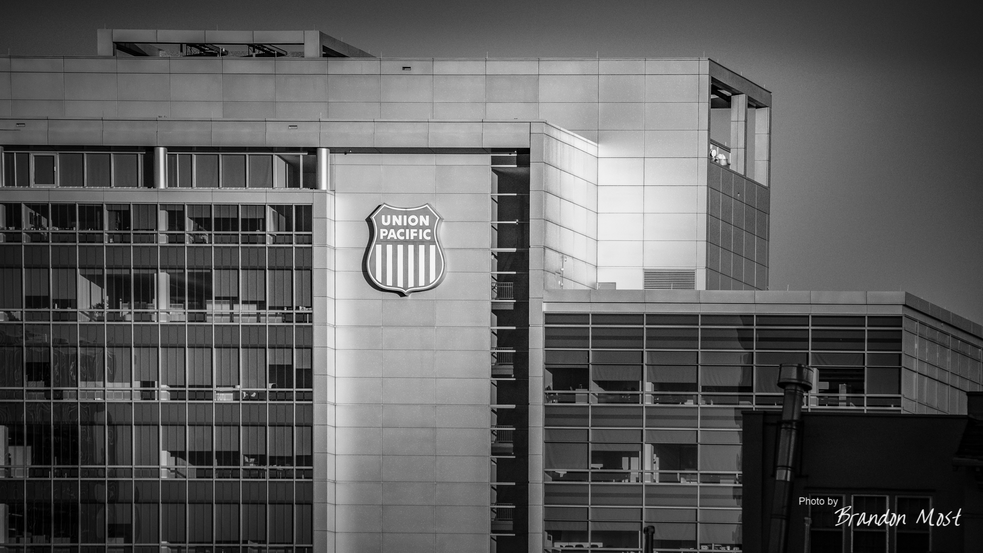
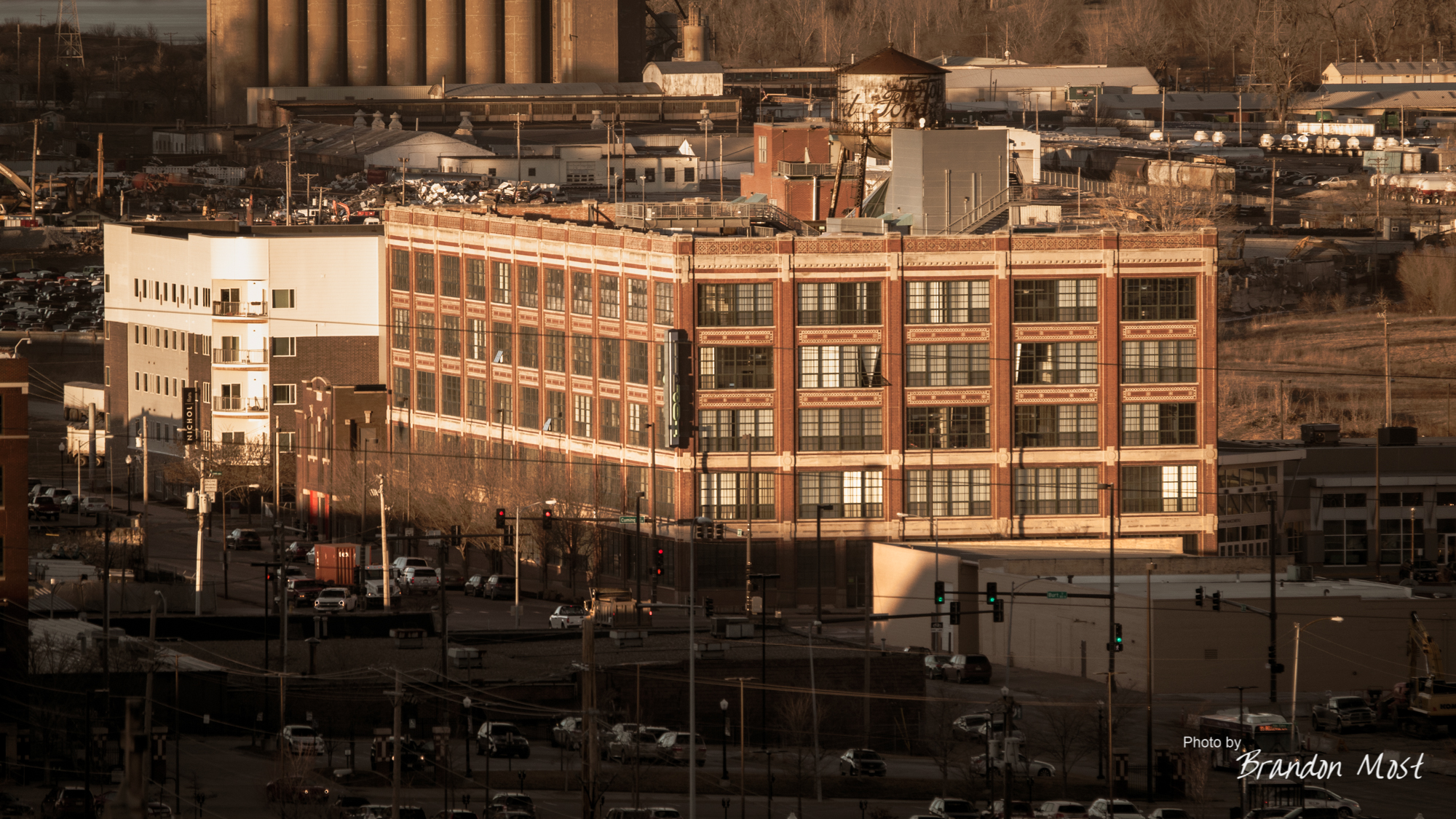

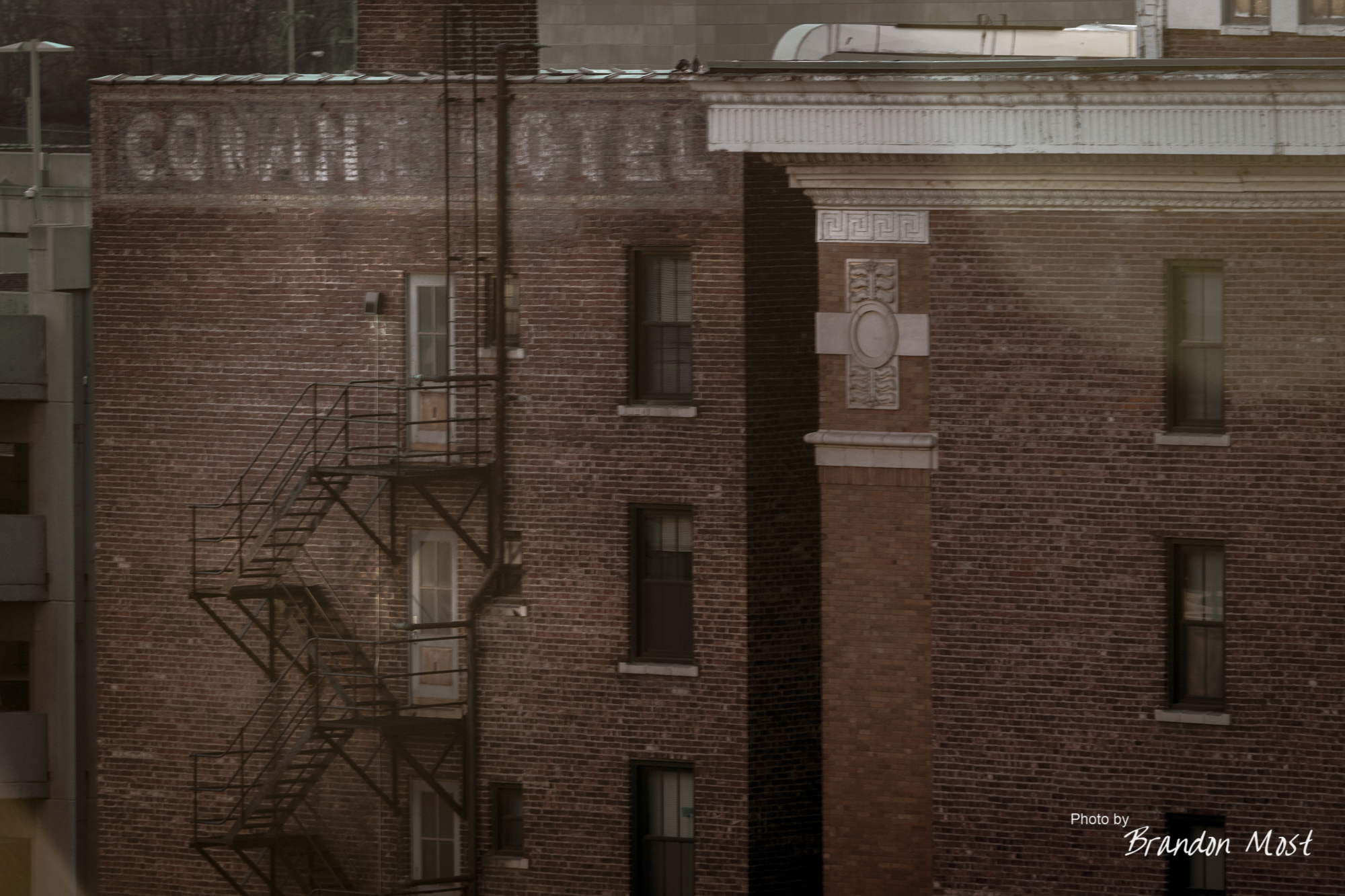
For a whole three dollars we were able to spend an hour of time on top of a parking garage with the floor to ourselves snapping away and the vintage downtown buildings. So much architecture, so little time.


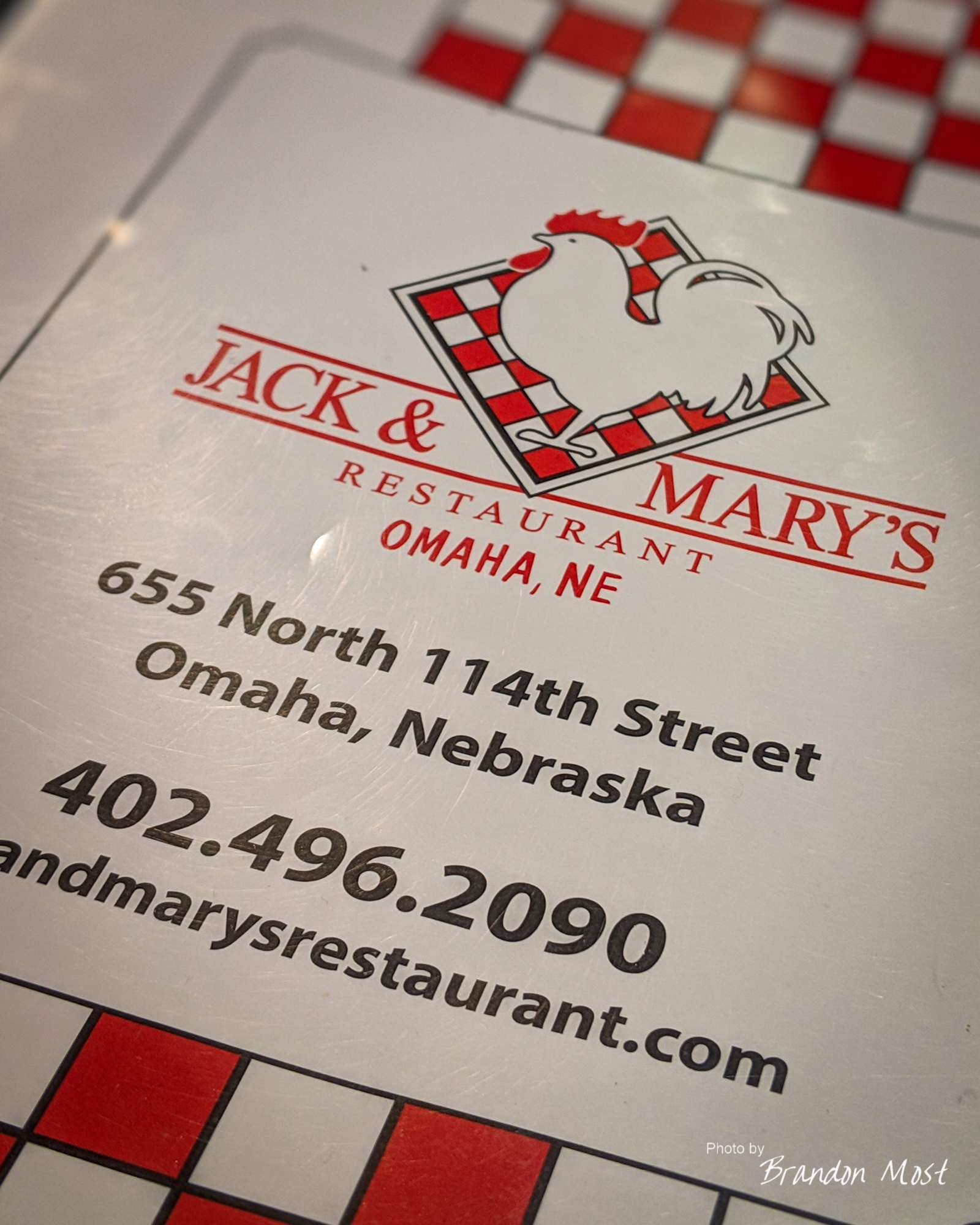


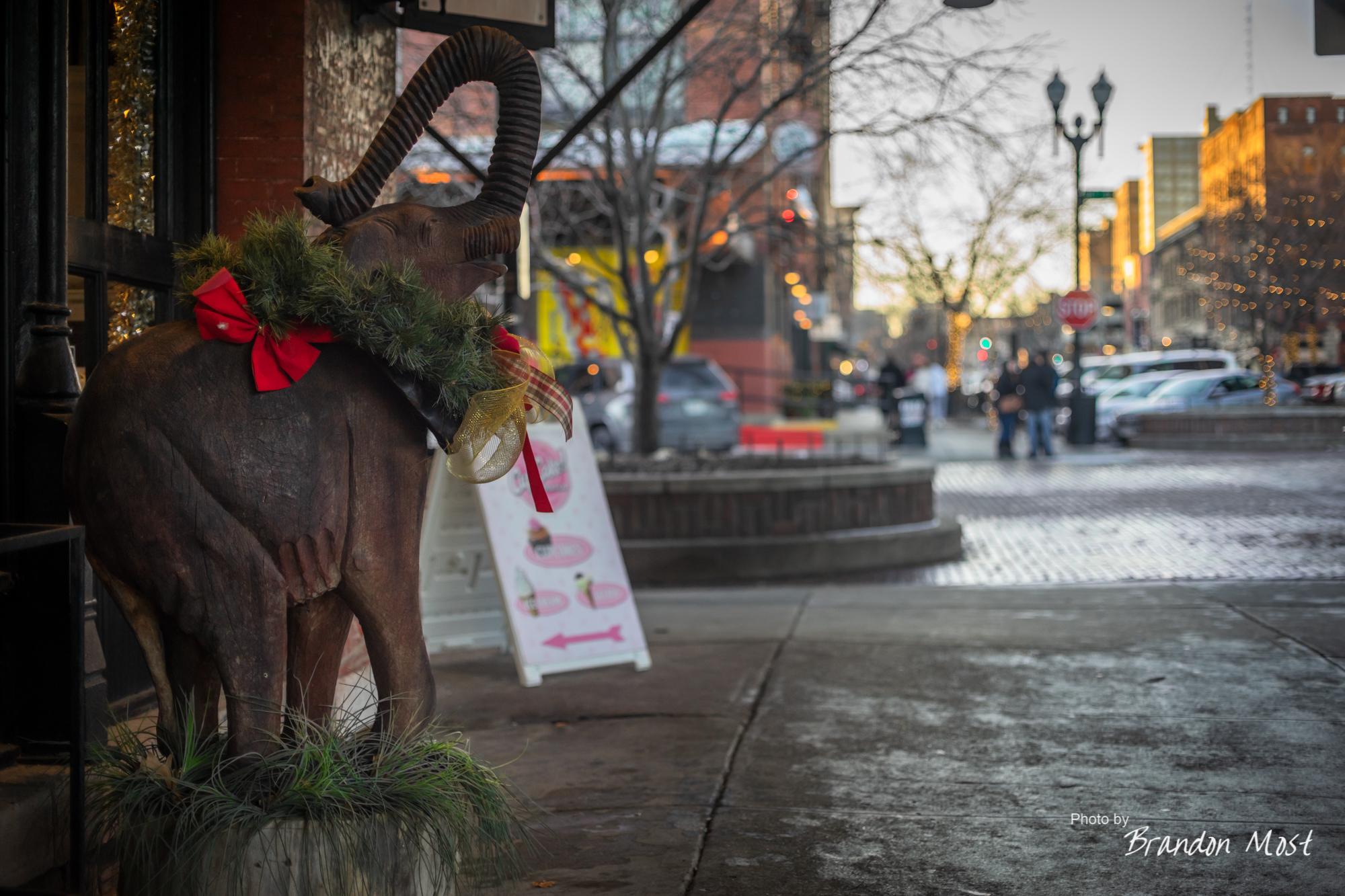
Having already hit up all the favorite restaurants, we had to get creative and stopped by Jack & Mary’s on Friday night. The first time I’ve been in since I told them to shove their dish washing and eventually specialty salad creation job! It’s better being on this side of the kitchen for sure.
Saturday January 5th and Sunday January 6th 2019 Day 18-19:

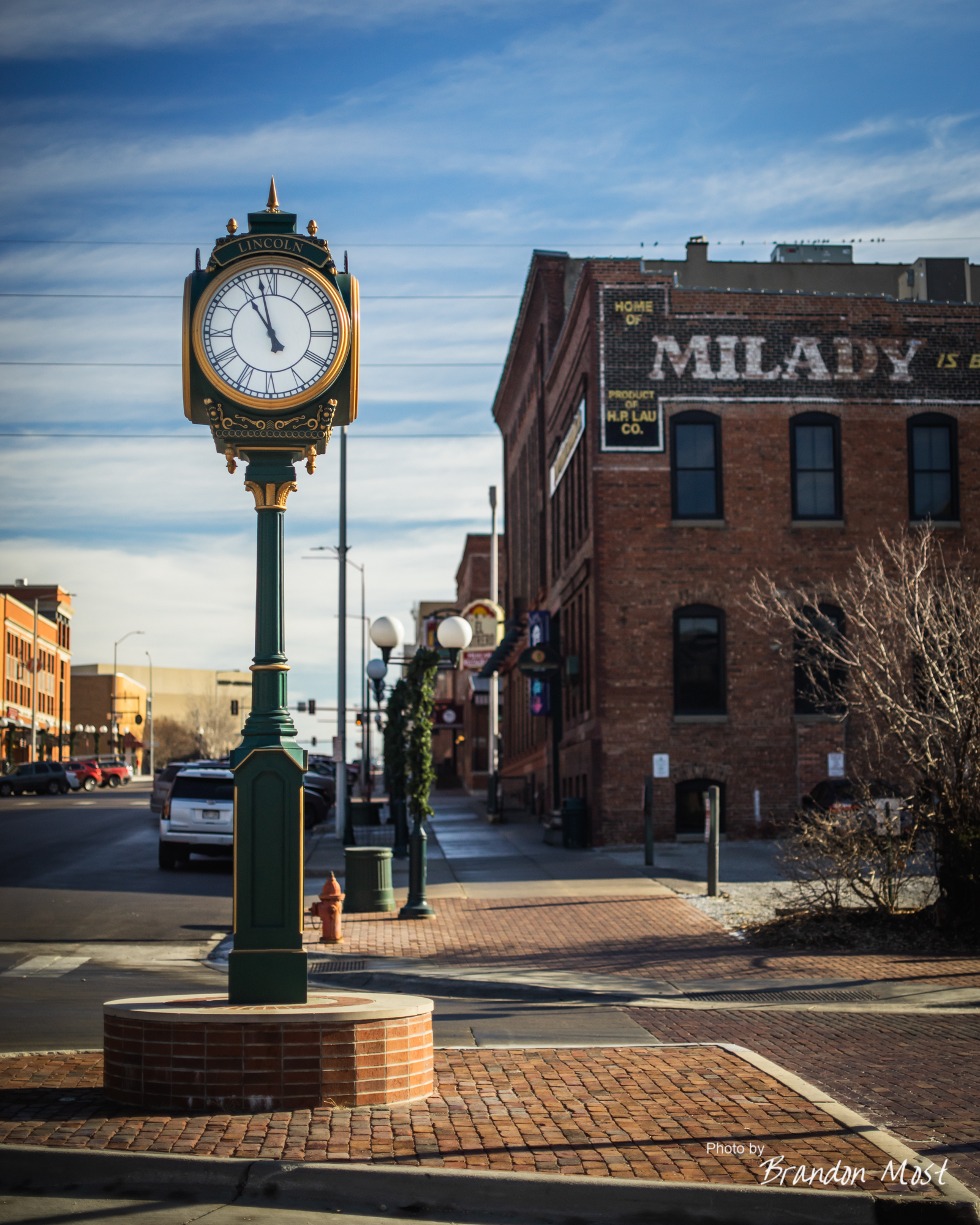
Saturday morning and we’re back to our usual habits of leaving later than we wanted. The good part about this is that it put us into Lincoln just before 11:00 AM which was just in time for a little lunch at Lazlo’s.
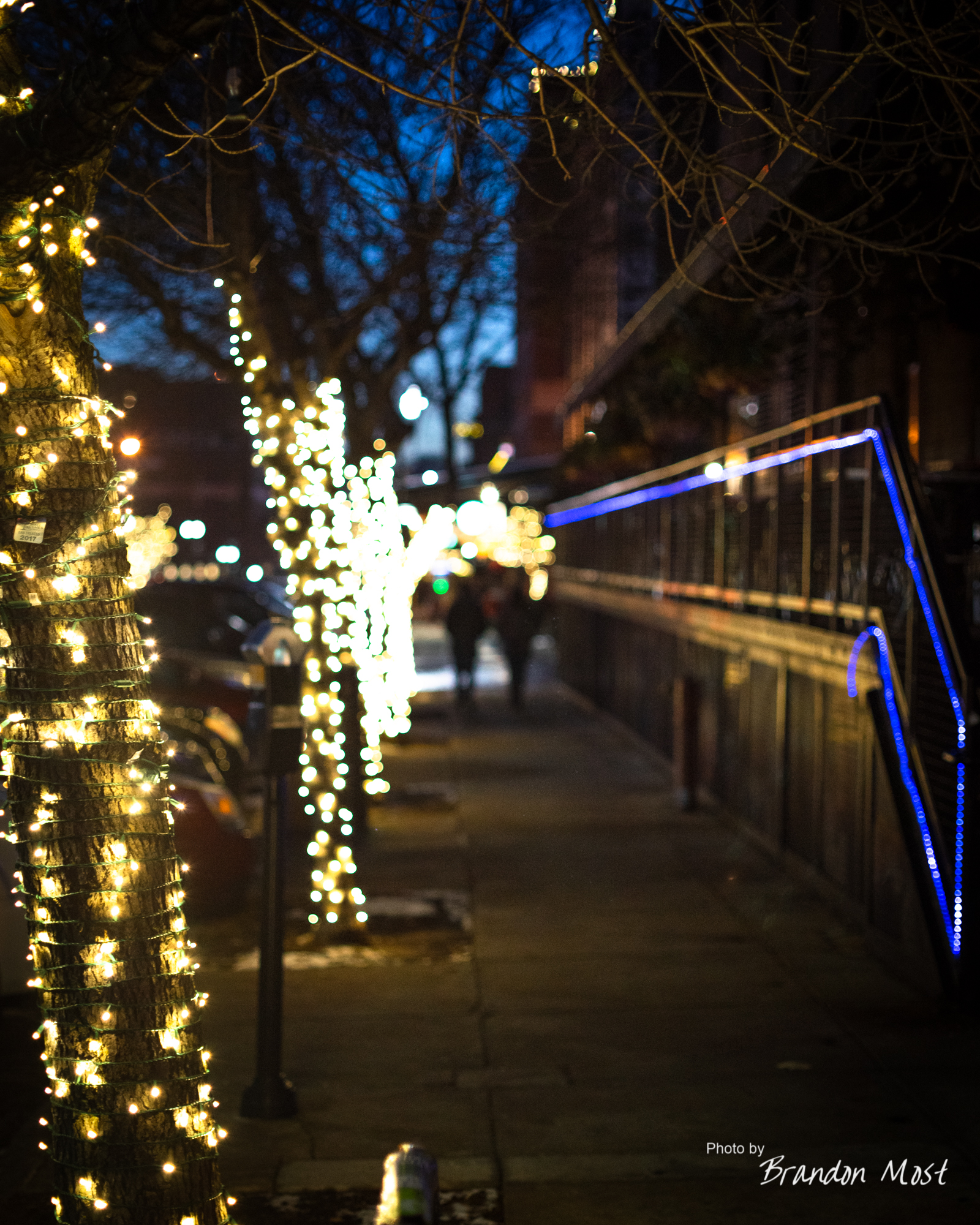
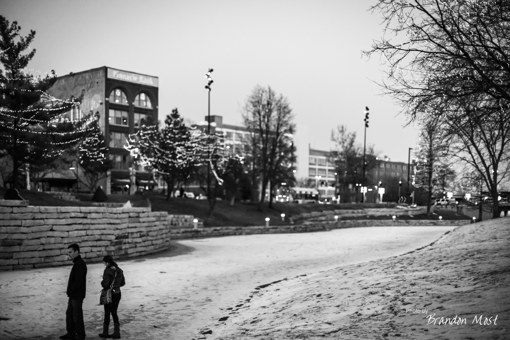
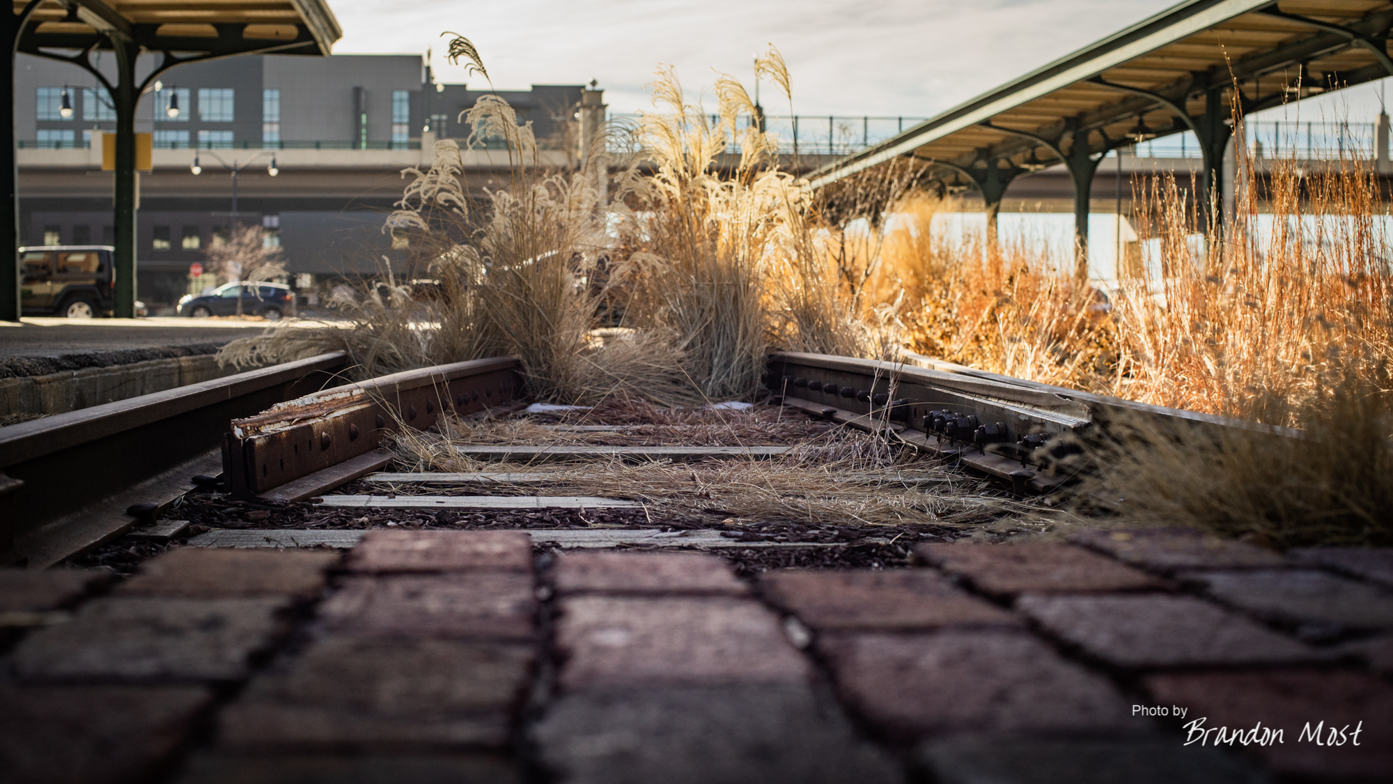
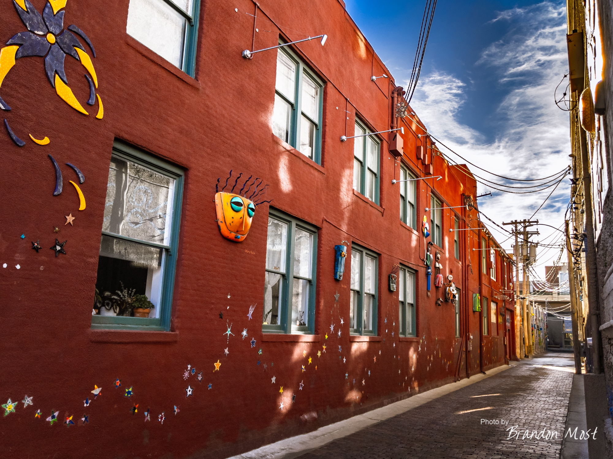
 We had a few minutes to kill before Lazlo’s technically opened so we took a little walk around the Hay Market area. A slightly cool winter morning offered a stark contrast to the vibe that was here over summer when we stopped by on a Saturday evening. We basically had the place all to ourselves you know I won’t complain about that.


With lunch done we were back on the 80 and headed west. By the time we approached the town of Chappell I talked Jamie into heading north to highway 30. We hadn’t really ever explored any of the towns this way but after seeing the signs off the 80 for so many years it was nice to put a view with the name.

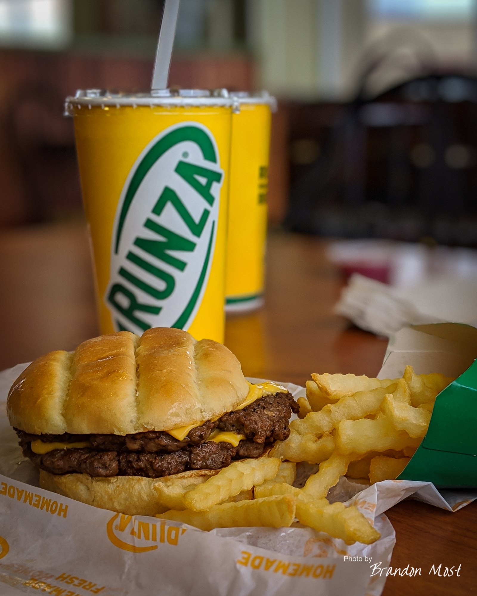
We only made a couple of stops. One to grab the lead shot above, and the other to stop at Runza in Sidney. By sunset we had passed the Wyoming boarder and were routed back to Interstate 80.

Our mildly cold morning in Lincoln has now shifted to a high wind with light snow and plenty of cold evening in Wyoming. Eventually we rolled into the Dugway Campground just outside of Sinclair Wyoming. We ended up parked just off the shore of the North Platte River in a spot that kept us tucked out of the wind gusts for the most part.

 Sunday kicked off early with us leaving camp by 6:00 AM. We were back on the 80 and focused on making the rest of the trip happen in a single day.


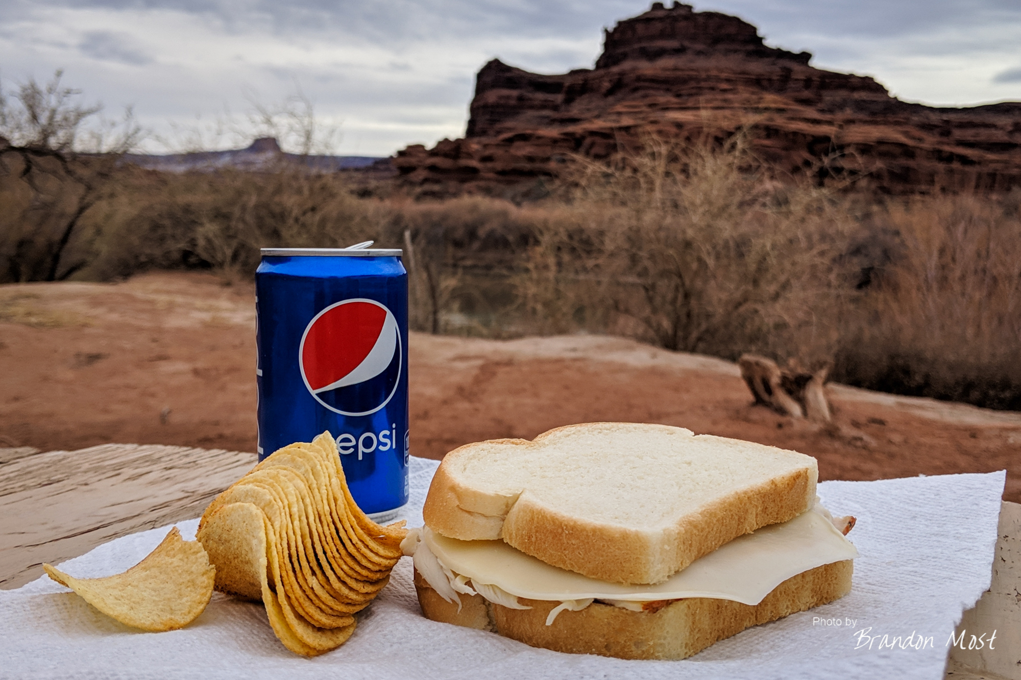
Lunch consisted of a stop at Jimmy Johns in a place called Snyderville Utah. In addition to a sandwich we got a nice helping of snow.

The “Tree of Utah” was by no means a bucket list site, but we needed to make a stop to switch drivers so why not do it at a place that gives you a few minutes of entertainment as well?
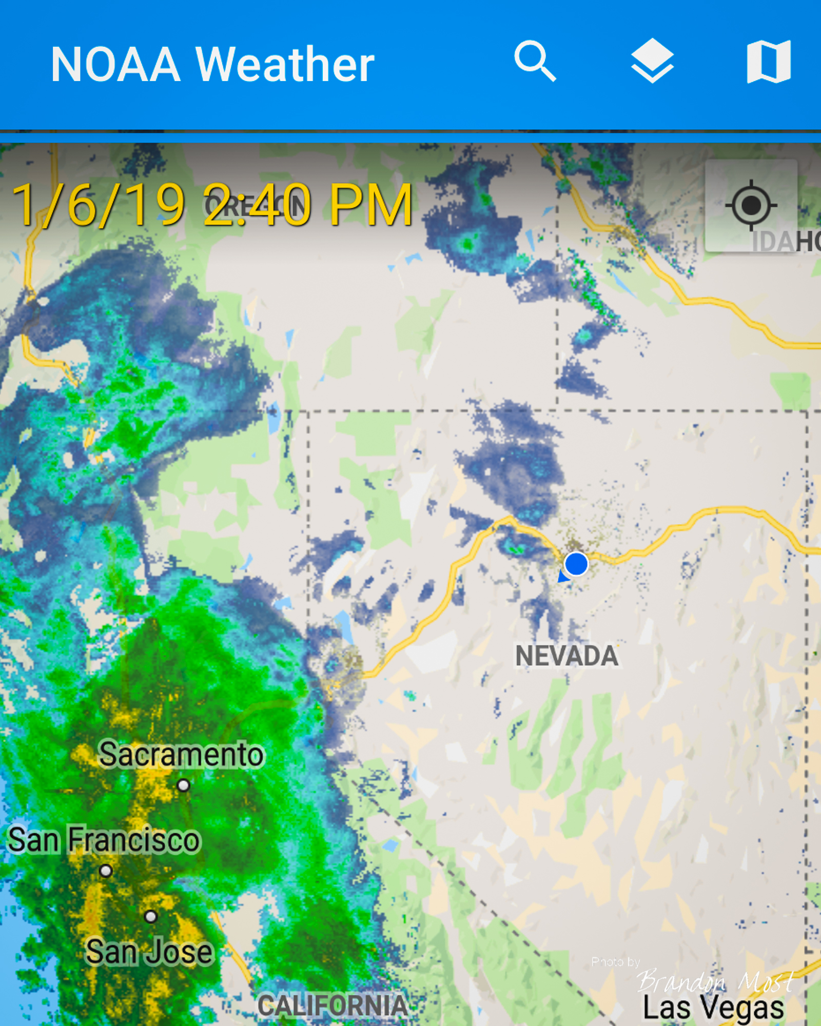
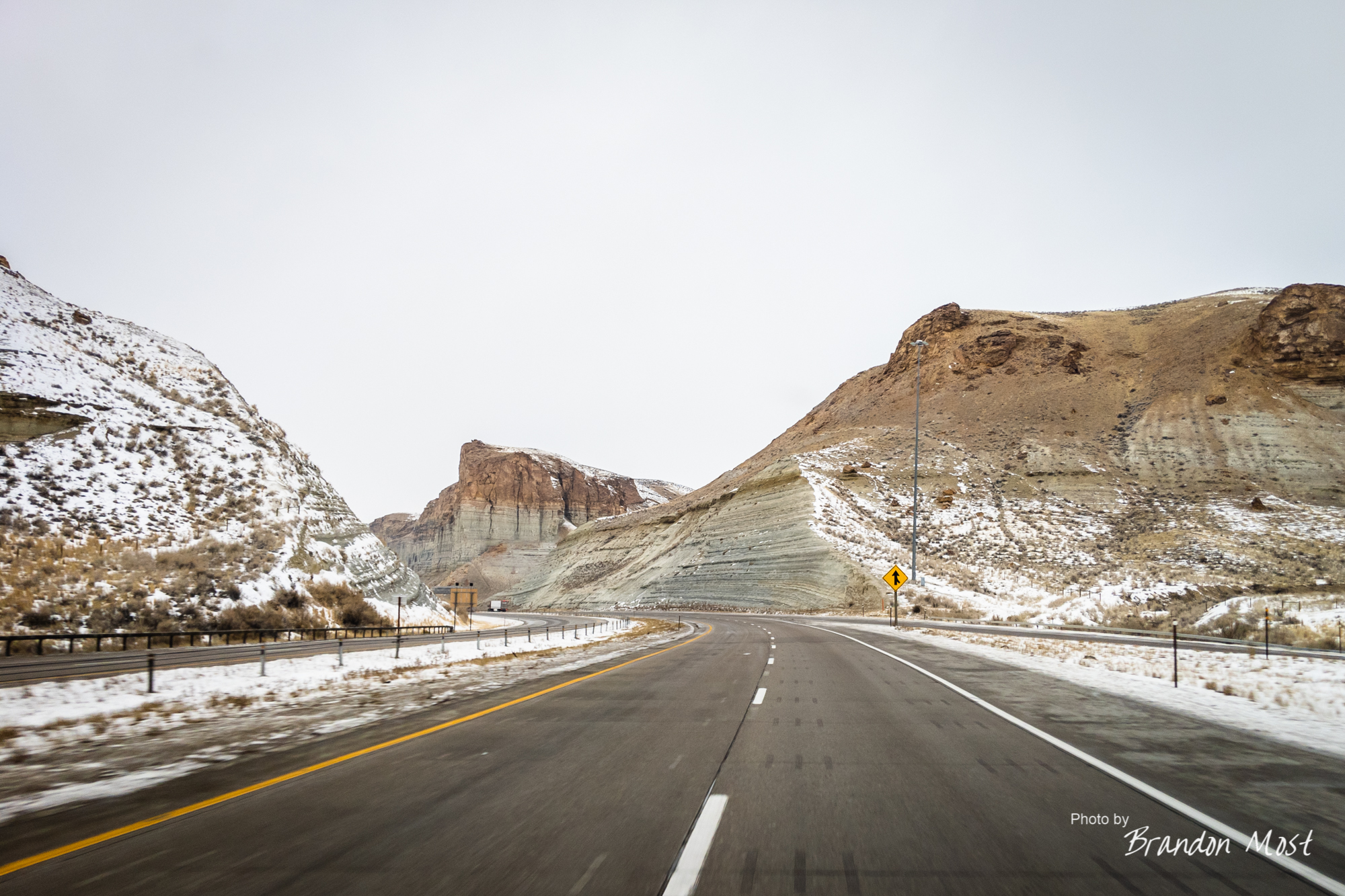
As we approached Reno it was getting pretty clear than the weather was taking a turn for the worse. The wind was picking up, and the snow was starting to fly. While this was nothing new for this trip, approaching California was going to introduce new problems.

On top of the weather slowing us down, the “usual” traffic coupled with road closures had us aimed at what looked to be a nightmare. By the time we reached Silver Spring Nevada their was only one pass left open through the mountains, and the snow was really flying. This was the really the wet sticky kind of snow. The kind that covers your headlights leaving you driving by GPS down the center of the road at 40mph trying to make it to the last pass before it closes. Not that I would do that, but if I did I would say thanks Nevada for adding a center rumble strip as well as one at the shoulder.
By 8:00 PM we were on hwy 88, but would soon find ourselves on 89 and eventually on to hwy 50.
Wrap up:

The Upgrades Grades:
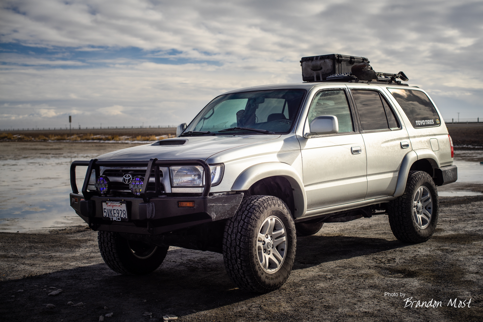
We did more than a few changes to the truck to prep for this trip so lets touch on the highlights and see how they did.
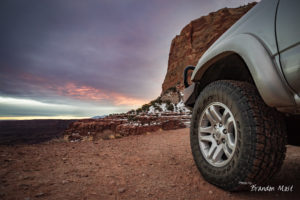
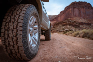
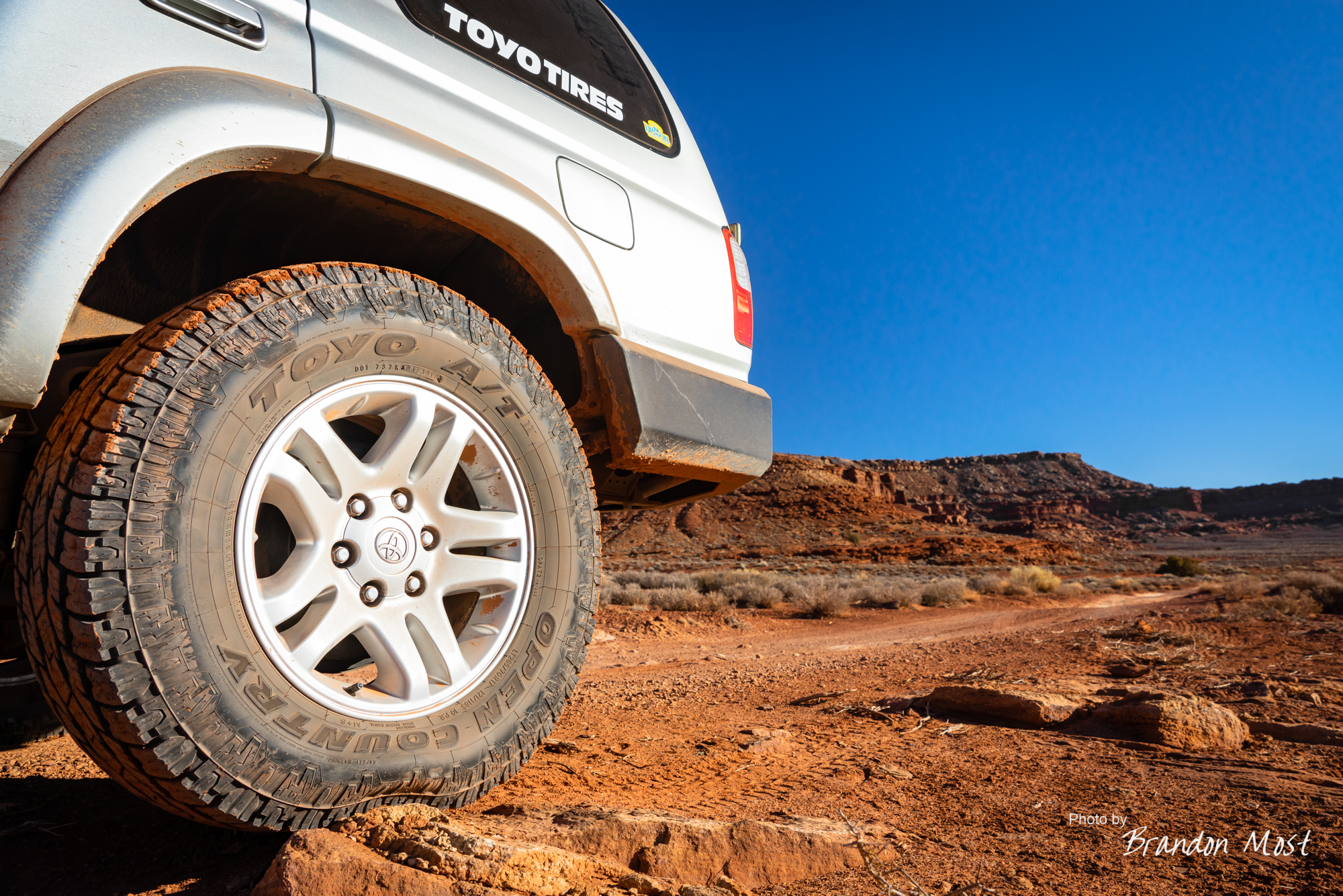
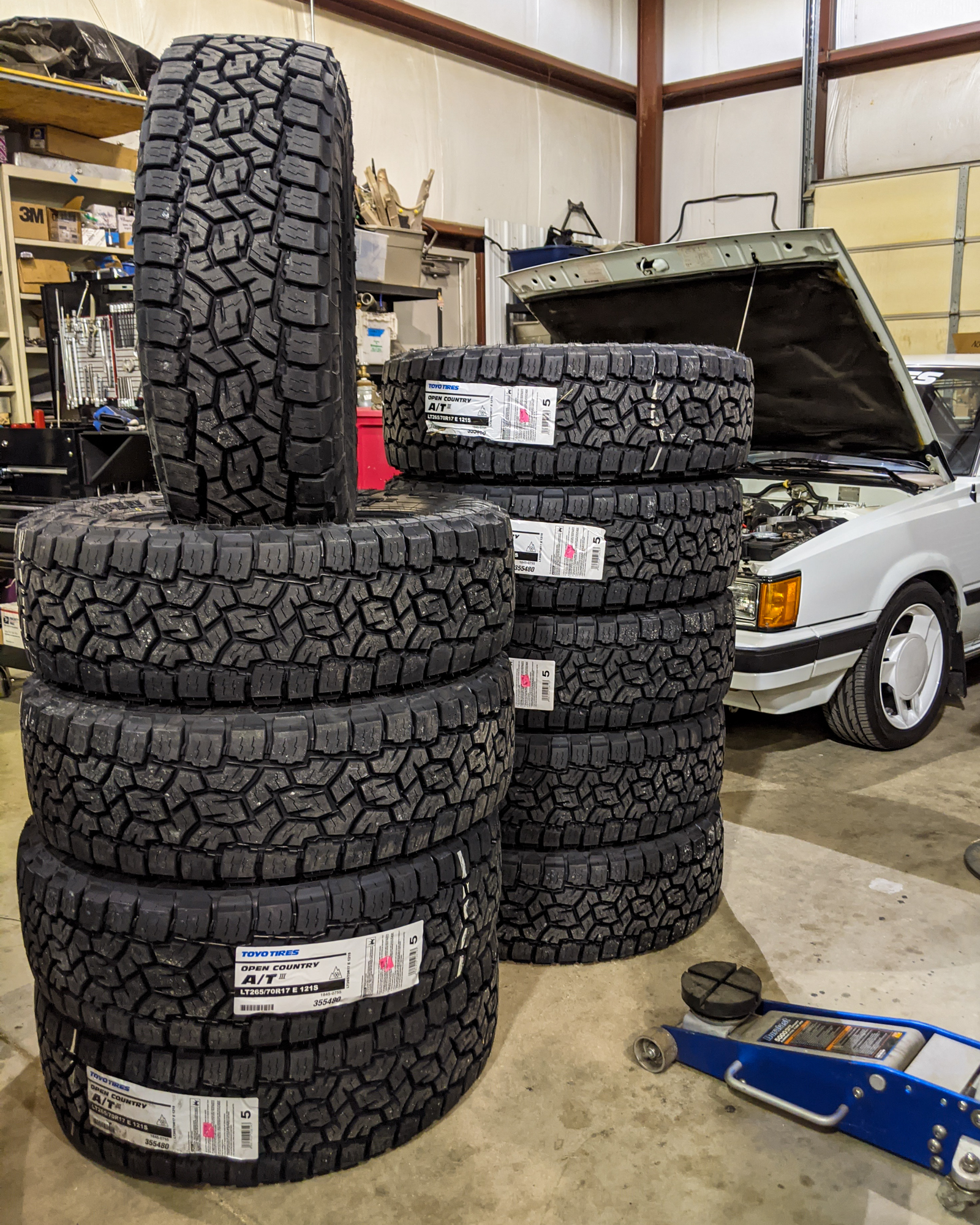
 The Toyo Open Country A/T’s replaced my Duratracs. I was a huge fan of the Duratracs, and had stuck with them through a few replacements already. Even though I am sponsored by Toyo I acutally thought about buying another set of them. I decided to give the Toyo A/T’s a try though. Early in to the trip I was a bit nervous, but by the time we left the White Rim my confidence was growing. They handled the aired down abuse off road, and they kept us where we wanted even on snow covered trails. Driving them in the snow and ice they performed very well. At the end of the day they performed at least 95% (maybe better) as well as the Duratracs did and all while doing it at a fraction of the roar that the Goodyears had going down the road. Another added bonus is that they seem to be wearing way better as well, but its a little to early to claim that.

Some people will say the 4Runner’s headlights should never have anything other than a halogen bulb in it unless you retrofit a projector. I agree the deflector design isn’t ideal. It will also throw light EVERYWHERE if you just throw a normal set of bulbs in it. The Dragon LEDz have a well placed diffuser that gave us enough light to see but not so much that we were being “flashed” by on coming traffic when we had the low beams on.
The Viair 400P worked flawlessly for the whole trip and is something I should have bought a LONG time ago. I kept holding out wanting something more expensive that would be more permanent install. I think I was wrong. This turned out to be perfect for our needs.
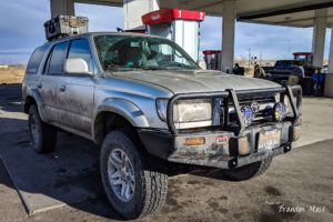
 The Roof Rack worked awesome. The Maxtrax road along until we needed them, and when we did they were reasonably quick to remove and re-install. The Pelican case kept all of our clothes clean and dry through just about everything we could think of throwing at it, and the mounting method of using pegs underneath in addition to the straps kept it secured the whole trip but still reasonably quick to remove when we got to the hotel.
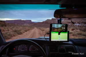
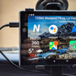
 The tablet wasn’t really a recent addition but this trip was the first time we actually used it for a major trip. I mapped out each leg of the trip in Google Maps and sent them to the tablet where I was able to download the maps to the device for out of service areas. That combined with the Maps from the DeLorome (now Garmin) In Reach worked great. We also used other apps like IOverlander to help plan the trip and find impromptu camp spots when we had to re-think our plans. We also had plenty of photo related apps, but honestly they didn’t get used much. Maybe next time.